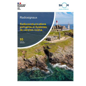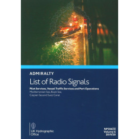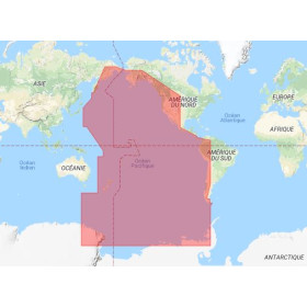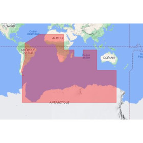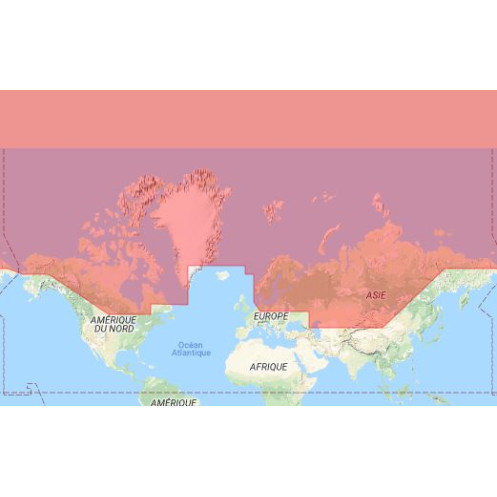





Optimize maritime operations with this digital guide to radio signals, featuring 3,800 service locations. Covers the North Sea, Baltic Sea, and Arctic waters for pilotage, ports, and VTS efficiency.
Data sheet
Specific References
Unlock Seamless Maritime Communication with the Digital List of Radio Signals, Volume 6 – Zone 3
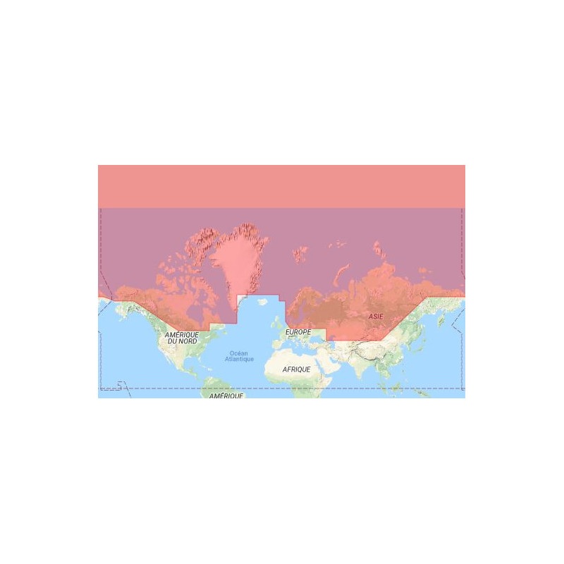
In the fast-paced world of maritime navigation, reliable and up-to-date radio communication data is non-negotiable. The Digital List of Radio Signals, Volume 6 – Zone 3 is your go-to digital resource, offering unparalleled access to essential information for pilotage services, vessel traffic services (VTS), port operations, and terminal facilities. Covering the high-traffic waters of the eastern North Sea, Baltic Sea, Norway, and Arctic regions, this publication is designed to meet the demands of maritime professionals who operate in some of the most challenging environments on the planet.
Precision Data for Critical Maritime Operations
This digital guide provides a comprehensive directory of 3,800 service locations worldwide, including radio stations, pilotage centers, port authorities, and terminal operators. Whether you're navigating the congested shipping lanes of the Baltic Sea or the remote Arctic waters, you'll have the precise data needed to ensure safe and efficient communication. The publication is tailored for Zone 3, which encompasses key maritime regions such as the German Bight, Denmark, Norway, and the Arctic passages, making it an indispensable tool for vessels operating in these areas.
Designed for Modern Maritime Workflows
Optimized for Windows 7, 8.1, and 10, this digital edition is built for standalone PCs, ensuring secure and reliable access to critical data. With minimal system requirements—just 1 GHz processor, 1 GB RAM (32-bit) or 2 GB RAM (64-bit), and up to 1 GB of storage—it delivers high performance without straining your hardware. The annual licensing model guarantees you receive regular updates, keeping your data current and compliant with the latest maritime regulations. Updates are delivered via email, with a lightweight file size of up to 1.25 MB, ensuring quick and hassle-free integration into your operations.
Trusted by Industry Leaders
Backed by decades of expertise in hydrographic and maritime data, this publication is the gold standard for maritime professionals. Its digital format not only provides instant access to critical information but also aligns with modern sustainability practices by eliminating the need for physical copies. Whether you're a ship operator, port authority, or maritime service provider, this tool enhances your operational efficiency while ensuring compliance with international maritime standards.
This digital publication is engineered for maritime professionals who demand accuracy, reliability, and ease of use. Compatible with Windows 7, 8.1, and 10, it requires a 1 GHz processor, 1 GB RAM (32-bit) or 2 GB RAM (64-bit), and up to 1 GB of storage. The annual license ensures you receive regular updates, delivered via email in a compact 1.25 MB file. Covering Zone 3, which includes the eastern North Sea, Baltic Sea, Norway, and Arctic waters, it provides a detailed directory of 3,800 service locations worldwide, including radio stations, pilotage centers, and port authorities.
With a legacy of excellence in hydrographic and maritime data, this publisher is a trusted name among maritime professionals worldwide. Known for delivering precise, reliable, and up-to-date information, their publications are the backbone of safe and efficient maritime operations. Their digital solutions combine cutting-edge technology with decades of expertise, ensuring that maritime professionals have the tools they need to navigate the world’s most challenging waters with confidence.
This digital publication is compatible with Windows 7, Windows 8.1, and Windows 10 operating systems.
Up to 1 GB of storage space is required for installation on your PC.
No, this software is designed for local installation on standalone computers and is not compatible with networked systems.
Updates are provided via email and can be up to 1.25 MB in size. The frequency of updates depends on official revisions.
The license for this product is valid for 12 months from the month of purchase.
A processor with a speed of 1 GHz or faster (32-bit x86 or 64-bit x64) is required to run this software.
This volume covers the eastern North Sea (German Bight, Denmark), the Baltic Sea, Norway, and Arctic waters, including the Northwest and Northeast Passages.
You might also like