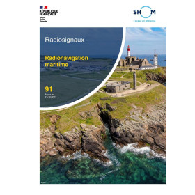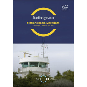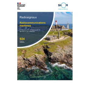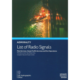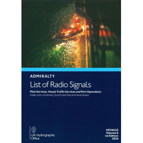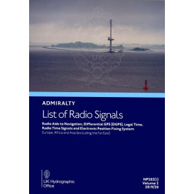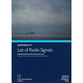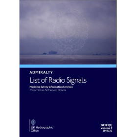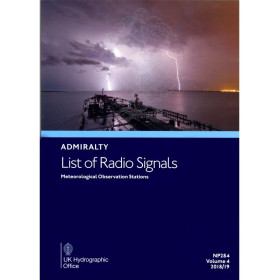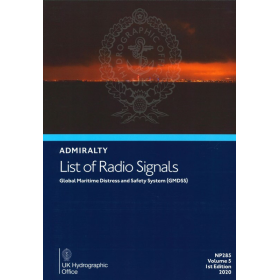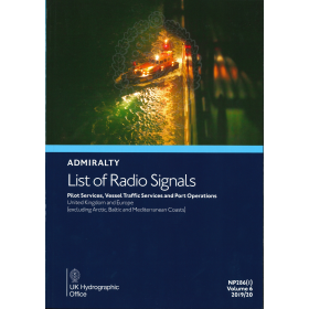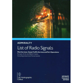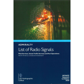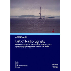





Reliable digital publication for maritime radio signals, covering 3,600+ locations in the Indian Ocean, Middle East, and Asia. Weekly updates and SOLAS-approved for seamless navigation.
Data sheet
Specific References
Navigate with Confidence Using the Digital List of Radio Signals, Volume 6 – Zone 5
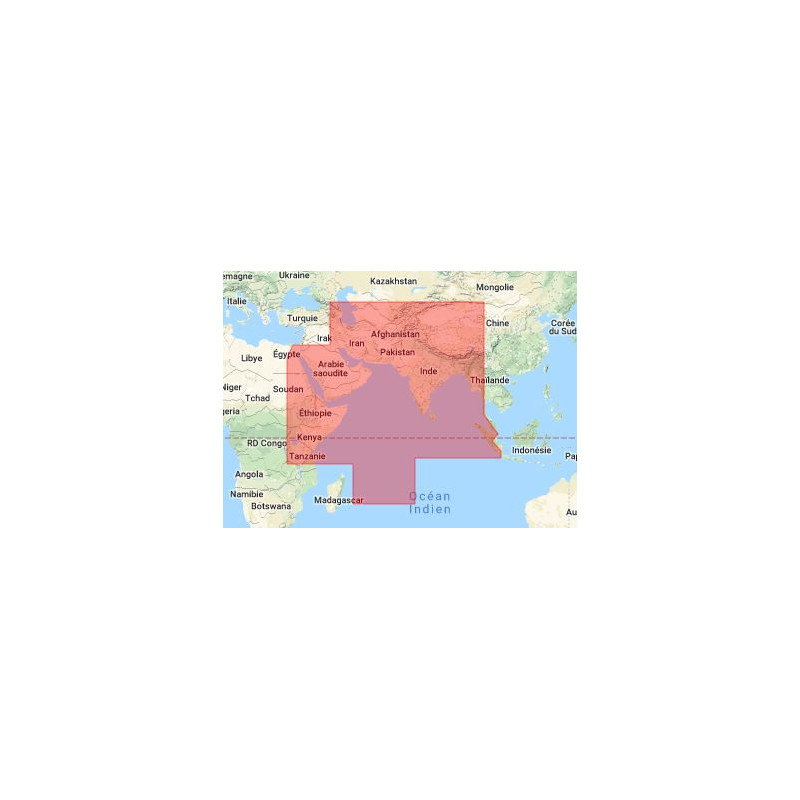
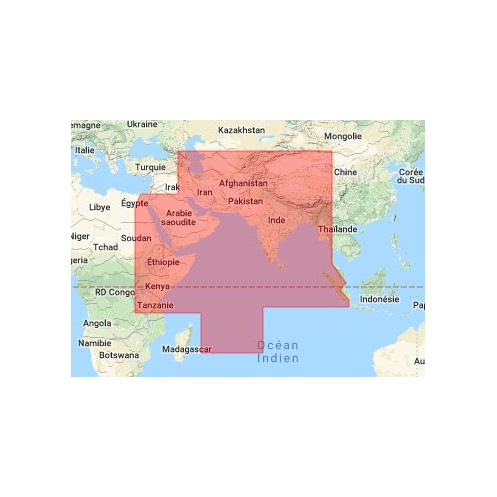
In the complex and ever-evolving world of maritime navigation, having access to accurate, up-to-date communication data isn’t just an advantage—it’s a necessity. The Digital List of Radio Signals, Volume 6 – Zone 5 is a cutting-edge digital publication designed to provide mariners with comprehensive, real-time information on radio and satellite communications across a critical region spanning the Indian Ocean, the Middle East, and parts of Asia. Covering latitudes from 43°N to 22.5°S and longitudes from 30°E to 105°E, this publication is your ultimate resource for navigating over 3,600 service locations with precision and ease. Whether you're managing port operations, coordinating with vessel traffic services (VTS), or ensuring seamless pilotage, this digital guide delivers the data you need to operate safely and efficiently in one of the world’s most dynamic maritime zones.
Designed for the Modern Mariner
Gone are the days of flipping through cumbersome paper manuals or waiting for physical updates. The Digital List of Radio Signals, Volume 6 – Zone 5 is a fully digital, searchable PDF publication that puts critical information at your fingertips. Compatible with Windows 7 and later versions, this publication is optimized for use on desktops, laptops, and tablets, ensuring you can access it wherever and whenever you need it. With a file size of approximately 15 MB, it’s lightweight enough to download quickly, even in areas with limited connectivity, yet comprehensive enough to cover every aspect of maritime communications in Zone 5. The publication is updated annually, with weekly corrections delivered via email or CD, so you can trust that your data is always current and compliant with the latest international standards.
Unmatched Coverage for Critical Maritime Operations
This publication is more than just a list of radio frequencies—it’s a complete guide to maritime communications in one of the most strategically important regions of the world. Zone 5 encompasses a vast area that includes major shipping lanes, bustling ports, and critical VTS centers. The Digital List of Radio Signals, Volume 6 – Zone 5 provides detailed information on: Pilotage Services: Access contact frequencies, operational hours, and procedural requirements for pilotage stations across the region, ensuring smooth and safe port entries and exits. Vessel Traffic Services (VTS): Stay informed about VTS centers, their coverage areas, and communication protocols to facilitate seamless coordination in high-traffic zones. Port Operations: Get critical details on port authorities, radio frequencies, and operational guidelines for ports in the Indian Ocean, Middle East, and Asia. National and International Reporting Systems: Understand mandatory reporting requirements for search and rescue (SAR), pollution prevention, and maritime security, ensuring compliance with global regulations. With this level of detail, you can navigate with confidence, knowing you have the most accurate and up-to-date information available.
Built for Compliance and Convenience
Compliance with international maritime regulations is non-negotiable, and the Digital List of Radio Signals, Volume 6 – Zone 5 is designed to meet the highest standards. Recognized by numerous flag states as a valid replacement for paper publications, this digital guide adheres to the requirements of the International Convention for the Safety of Life at Sea (SOLAS). It’s also approved for use by a majority of international flag states, giving you the peace of mind that comes with knowing your operations are fully compliant. The publication is licensed for use on two computers per vessel, allowing your crew to access the data simultaneously, whether they’re on the bridge or in the operations room. Weekly updates ensure that your information is always current, reducing the risk of non-compliance and enhancing operational safety.
Seamless Integration into Your Maritime Workflow
The Digital List of Radio Signals, Volume 6 – Zone 5 is designed to integrate effortlessly into your existing maritime operations. With minimal system requirements—compatible with PCs running Windows 7 or later—it’s accessible even on older hardware, ensuring that you don’t need to invest in new equipment to benefit from its features. The publication is delivered on a single CD, making installation quick and straightforward. Once installed, you can access it using Adobe Acrobat Reader or any compatible PDF viewer, ensuring a familiar and user-friendly experience. Whether you’re planning a voyage, coordinating with port authorities, or responding to an emergency, this digital guide provides the information you need, when you need it, without the hassle of paper manuals or outdated data.
The Digital List of Radio Signals, Volume 6 – Zone 5 is a robust digital publication tailored for maritime professionals. It covers a vast geographic area from latitudes 43°N to 22.5°S and longitudes 30°E to 105°E, encompassing over 3,600 service locations across the Indian Ocean, Middle East, and parts of Asia. Available in a fully searchable PDF format, this publication is compatible with Windows 7 and later versions, requiring minimal system resources—just 15 MB of storage space. Updated annually with weekly corrections, it ensures compliance with SOLAS regulations and is approved by numerous flag states. Licensed for use on two computers per vessel, it supports seamless maritime operations with instant access to critical radio and satellite communication data.
For over two centuries, this organization has been at the forefront of maritime navigation, providing accurate and reliable hydrographic data to mariners worldwide. Renowned for its comprehensive catalog of nautical publications, the organization sets the standard for safety and efficiency in global maritime operations. Its products are trusted by professionals across the industry, from commercial shipping fleets to naval forces, ensuring compliance with international regulations and enhancing navigational precision in even the most challenging waters.
This publication covers latitudes from 43°N to 22.5°S and longitudes from 30°E to 105°E, including parts of the Indian Ocean, the Middle East, and Asia.
The publication is updated annually with weekly corrections delivered via email, download, or CD.
It requires a PC running Windows 7 or later, Adobe Acrobat Reader or a compatible PDF viewer, and approximately 15 MB of storage space.
The license allows use on two computers per licensed application, typically for a single vessel.
Yes, it meets SOLAS transport requirements and is approved by most international flag states as a replacement for the paper version.
It includes over 3,600 service locations worldwide, covering pilotage, VTS, and port operations.
The publication is provided as a searchable PDF file, compatible with desktop, tablet, and mobile devices.
You might also like