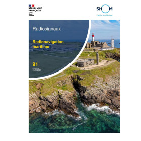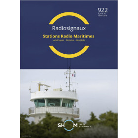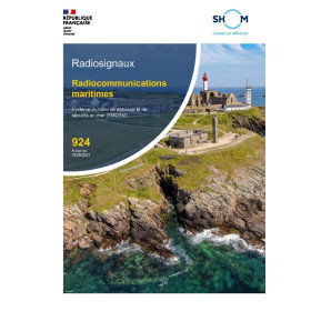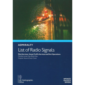





Ensure seamless maritime communication with the Digital List of Radio Signals, Volume 6. Covers Asia with critical data for ports, VTS, and pilot services, updated weekly for SOLAS compliance.
Data sheet
Specific References
Navigating the complex waters of Asia demands reliable, up-to-date information on maritime radio communications. This digital publication delivers critical data for safe and efficient voyages, covering over 3,800 service locations across the region. Designed for modern mariners, it ensures compliance with SOLAS safety standards while streamlining communication with ports, pilot services, and vessel traffic systems. Stay ahead with weekly updates that keep your navigation tools accurate and your crew informed.
This digital publication is more than just a reference—it’s a dynamic tool built for today’s fast-paced maritime environment. Whether you’re navigating congested waters, coordinating with port authorities, or ensuring compliance with international regulations, this guide provides the data you need, when you need it. With a license that allows use on two computers per vessel, it’s a flexible solution for crews who rely on precision and efficiency.
In an industry where communication is key, this digital guide ensures you’re always connected to the latest maritime radio services. From pilotage to port operations, it’s your trusted resource for navigating Asia’s waters with confidence. Upgrade to digital and experience the future of maritime navigation today.
Navigate Asia’s Waters with Confidence Using the Digital List of Radio Signals, Volume 6 – Zone 6
In the fast-paced world of maritime navigation, having instant access to accurate and up-to-date radio signal information can mean the difference between smooth sailing and costly delays. The Digital List of Radio Signals, Volume 6 – Zone 6 is your indispensable digital companion, designed to provide mariners with critical data on maritime communications across Asia’s most vital waterways. Covering over 3,800 service locations, this digital guide ensures you have the latest details on port operations, pilot services, vessel traffic systems (VTS), and emergency contacts—all at your fingertips. Whether you're navigating the bustling ports of Singapore, the intricate channels of Indonesia, or the remote coastlines of the Philippines, this tool is engineered to keep your voyage safe, efficient,, and compliant with international maritime standards.
Built for the Digital Age of Maritime Navigation
Gone are the days of flipping through cumbersome paper manuals or relying on outdated information. This digital publication is optimized for modern navigation systems, offering seamless integration with ECDIS (Electronic Chart Display and Information Systems) and other electronic charting tools. Its digital format allows for weekly updates, ensuring that your data is always current, whether you’re receiving updates via internet download, email, or disk. Compatible with Windows 7 and later, it’s designed to work effortlessly on the PCs used in today’s maritime operations, providing a reliable and user-friendly experience for crews and navigators alike.
Compliance and Safety, Simplified
Safety at sea is non-negotiable, and this digital guide is crafted to meet the stringent requirements of SOLAS (Safety of Life at Sea) regulations. By providing accurate, up-to-date information on maritime radio services, it helps vessels maintain compliance while reducing the risk of human error. The annual license ensures that your team always has access to the latest data, with the flexibility to use the guide on two computers per vessel. This makes it an ideal solution for both large commercial ships and smaller vessels that require reliable, compliant navigation tools.
A Tool for Every Voyage in Zone 6
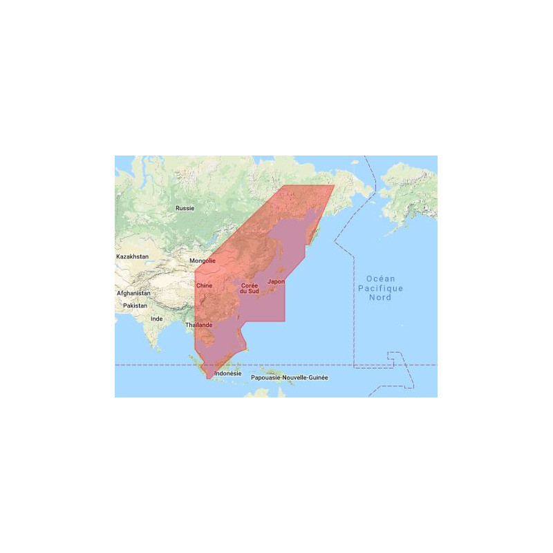
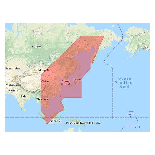
Zone 6 encompasses some of the world’s most critical maritime regions, including the Strait of Malacca, the South China Sea, and the waters surrounding Japan and the Philippines. This digital guide is tailored to address the unique challenges of these areas, offering detailed information on local radio services, port authorities, and communication protocols. Whether you’re coordinating with pilot services, managing vessel traffic, or preparing for port operations, this tool provides the precision and reliability needed to navigate with confidence. Its digital format also means no more manual corrections—just seamless, automated updates that keep your data accurate and your crew informed.
This digital publication delivers comprehensive maritime radio signal data for Zone 6, covering over 3,800 service locations across Asia. Designed for compatibility with Windows 7 and later, it integrates seamlessly with ECDIS and electronic charting systems, allowing for real-time overlays on navigation software. Updates are provided weekly via internet download, email, or disk, ensuring your data remains current. The annual license permits use on two computers per vessel, making it a flexible and compliant solution for maritime operations under SOLAS regulations.
With a legacy spanning over two centuries, this brand is a global leader in maritime navigation and hydrographic services. Renowned for its precision, reliability, and commitment to safety, it provides essential tools and publications that meet the highest international standards. From digital navigation solutions to traditional paper charts, its products are trusted by mariners worldwide to ensure safe and efficient voyages across the globe’s most challenging waters.
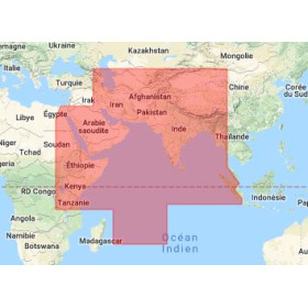
Zone 6 primarily covers the Asia region, including areas between latitudes 1.5°N to 67°N and longitudes 99°E to 170°E.
Updates are provided weekly via internet download, email, or disk to ensure the latest maritime communication information is available.
Yes, the license allows for one working copy per licensed application per vessel, usable on up to two computers.
Yes, it is compatible with ECDIS and other electronic charting systems for seamless integration into navigation workflows.
It requires a PC running Windows 7 or later versions to access and utilize the digital content.
It includes detailed information for approximately 3,800 maritime service locations worldwide.
Yes, it complies with SOLAS requirements, ensuring it meets international maritime safety standards.
You might also like