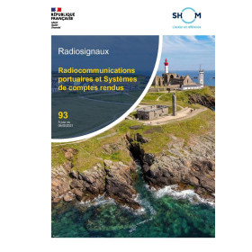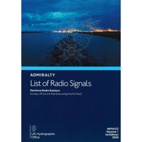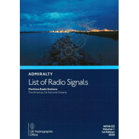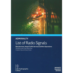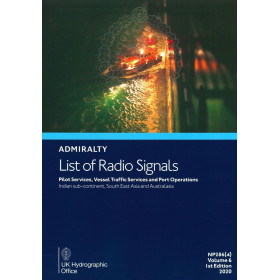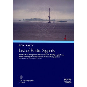





Essential digital guide for maritime radio communications, covering 3,800 global locations in Zone 8. Annual license for Windows PCs.
Ensures compliance and smooth operations.
Data sheet
Specific References
Navigate the Pacific and the Americas with confidence using the Digital List of Radio Signals, Volume 6 – Zone 8. This comprehensive digital guide delivers critical radio communication data for over 3,800 service locations worldwide, ensuring seamless and compliant maritime operations. Designed for modern vessels, this digital edition provides instant access to up-to-date information, eliminating the need for bulky paper volumes while enhancing operational efficiency.
This digital guide is engineered for today’s maritime professionals who demand reliability, accuracy, and convenience. Whether you’re navigating busy shipping lanes, coordinating port entries, or ensuring compliance with local regulations, the Digital List of Radio Signals, Volume 6 – Zone 8 provides the tools you need to operate efficiently and safely. Its intuitive design allows for quick searches, ensuring that critical information is always at your fingertips.
Developed by a globally recognized authority in hydrographic and maritime data, this publication is a trusted resource for captains, navigators, and maritime operators worldwide. Its digital format ensures that you always have the most current data, reducing the risk of outdated information and enhancing operational decision-making.
Compatible with standard PC systems, this digital guide integrates effortlessly into your existing maritime operations. Its annual licensing model ensures that you receive regular updates, keeping your data accurate and reliable throughout the year. Say goodbye to manual updates and hello to a streamlined, efficient workflow.
Unlock Seamless Maritime Communications with the Digital List of Radio Signals, Volume 6 – Zone 8
In the fast-paced world of maritime navigation, reliable and up-to-date radio communication data is non-negotiable. The Digital List of Radio Signals, Volume 6 – Zone 8 is your ultimate digital companion, designed to provide instant access to critical information for over 3,800 service locations across the Pacific and the Americas. This digital guide ensures that your vessel remains compliant with international regulations while optimizing communication efficiency for safer, smoother operations.
Precision Data for Every Voyage
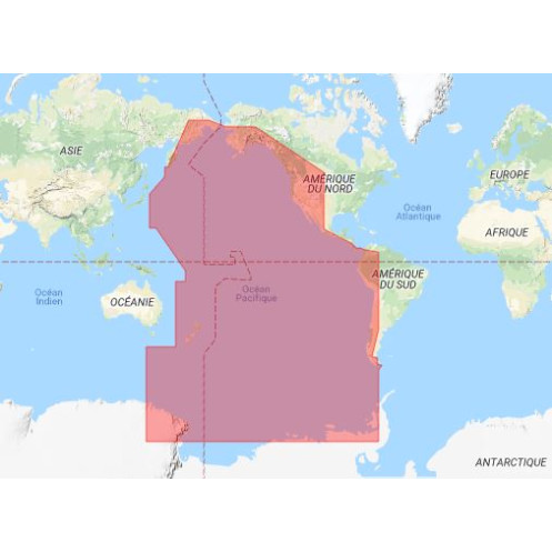
Covering Zone 8, which includes vital maritime regions such as the Pacific Ocean, the Americas, and key coastal hubs, this volume delivers unparalleled accuracy. From pilotage services to vessel traffic services (VTS) and port operations, every detail is meticulously curated to support your navigation needs. The digital format allows for quick searches, ensuring that you can access the right information at the right time, reducing delays and enhancing safety.
Designed for Modern Maritime Operations
Gone are the days of flipping through cumbersome paper volumes. This digital edition is optimized for PCs running Windows 7 and later, offering a user-friendly interface that integrates seamlessly into your workflow. With an annual license, you receive regular updates, ensuring that your data is always current and compliant with the latest maritime standards. Whether you're docking at a busy port or navigating remote waters, this guide provides the reliability you need to operate with confidence.
Enhance Compliance and Efficiency
Compliance with maritime communication regulations is critical to avoiding fines and ensuring smooth operations. The Digital List of Radio Signals, Volume 6 – Zone 8 helps you stay ahead by providing accurate, up-to-date information on reporting requirements, radio frequencies, and service protocols. Its digital nature not only reduces the risk of human error but also streamlines your processes, allowing you to focus on what matters most—safe and efficient navigation.
This digital guide provides comprehensive coverage of maritime radio signals for Zone 8, including the Pacific and the Americas. Compatible with PCs running Windows 7 and later, it offers an annual license for continuous access to updated data. With details on over 3,800 service locations, it includes critical information on pilotage, vessel traffic services (VTS), and port operations, ensuring compliance and efficiency for maritime professionals.
For over two centuries, this authority has been a cornerstone of global maritime navigation, providing accurate and reliable hydrographic data to vessels worldwide. Their publications are trusted by captains, navigators, and maritime operators for their precision, comprehensive coverage, and commitment to safety at sea. With a legacy of innovation, they continue to set the standard for maritime information, ensuring that professionals have the tools they need to navigate with confidence.
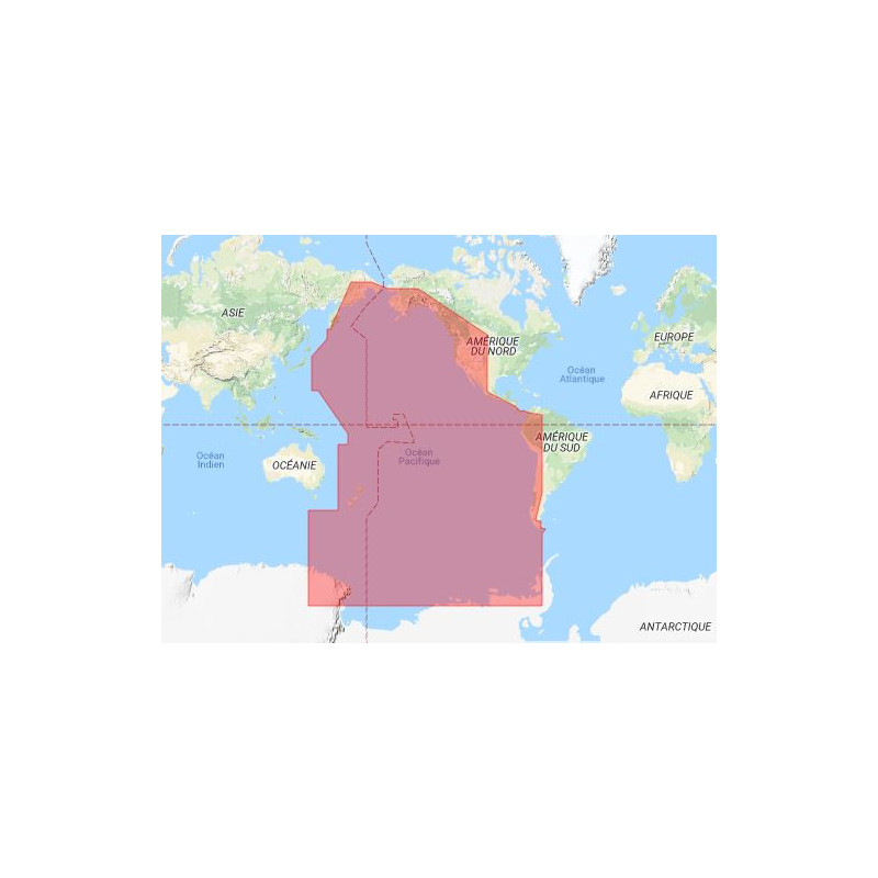
This volume covers Zone 8, primarily the Pacific and the Americas, including detailed radio signal information for approximately 3,800 service locations worldwide.
No, this digital publication is only compatible with PCs running Windows 7 or later versions.
The digital guide is updated annually as it is provided under an annual license.
The digital guide is designed for on-screen reading only and does not support printing.
It includes essential information on pilotage services, vessel traffic services (VTS), and port operations for global maritime communications.
Yes, the covered area spans specific coordinates, including latitudes from 67°N to 75°S and longitudes from 143°E to 177°W, among others.
You might also like