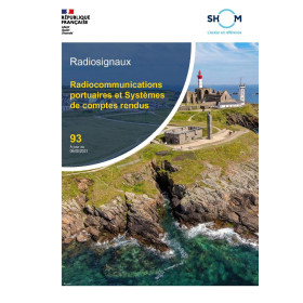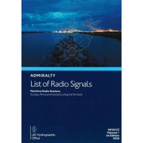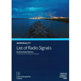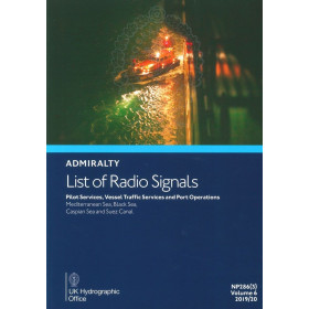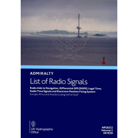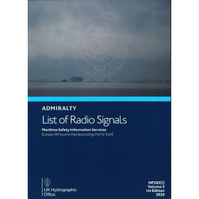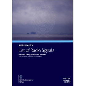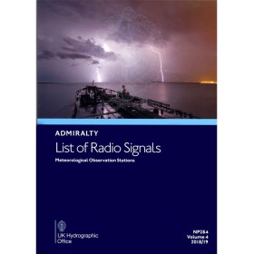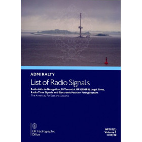



Admiralty - DLRS6-10 - Digital List of Radio Signals, volume 6 - zone 10
search
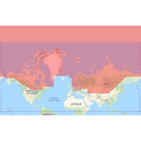
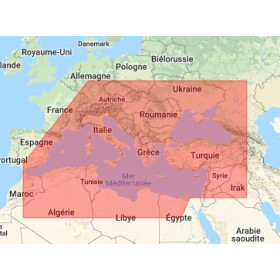
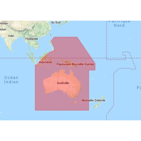
  • googlemap
  • Admiralty - DLRS6-10 - Digital List of Radio Signals, volume 6 - zone 10
  • Admiralty - DLRS6-10 - Digital List of Radio Signals, volume 6 - zone 10

Admiralty - DLRS6-10 - Digital List of Radio Signals, volume 6 - zone 10

€138.85
Tax included
Admiralty - United Kingdom Hydrographic Office
Chart or book in digital version In English language
Book programmed to order
Estimated preparation time: 0 to 3 days

Digital List of Radio Signals, Volume 6 for Zone 10. Covers IMO-compliant pilotage, vessel traffic, and port operations in the Southern Ocean. Updated weekly for accuracy.

DLRS6-10

Data sheet

Who is the publisher or the author?
Admiralty
On what digital medium is this nautical chart / book stored?
digital medium
download
What type of navigation book is this?
radio signal guide
Picto
Chart or book in digital version
In English language

Specific References

UPC
400000129754
EAN13
4000000105626
New
Book programmed to order
Description détaillée

Digital List of Radio Signals, Volume 6 – Zone 10

Publication in English
Digital version readable only on PCs with Windows 7 and later

Your Essential Guide to Maritime Radio Communications in the Southern Ocean

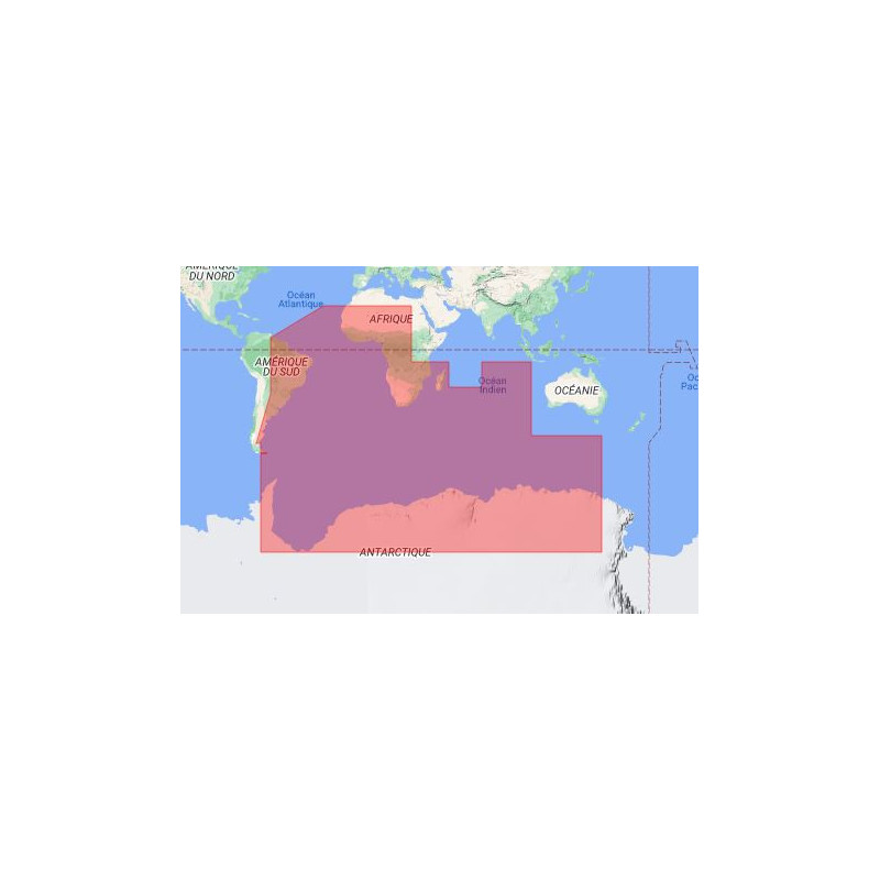
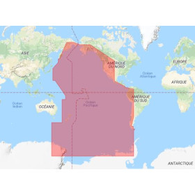
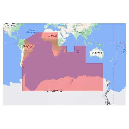
Navigate the southern seas with confidence using this comprehensive digital reference for maritime radio services. Covering critical regions from approximately 78°S to 27°S latitude and 71°W to 150°E longitude, this publication delivers up-to-date information on recognized International Maritime Organization (IMO) radio services. Whether you're managing vessel traffic, coordinating port operations, or ensuring safe pilotage, this resource is designed to meet the demands of modern maritime professionals.

Why Choose This Digital Edition?

  • Instant Access: Download and start using immediately—no waiting for physical delivery.
  • Seamless Navigation: Hyperlinked table of contents, indexes, and bookmarks for quick reference.
  • Weekly Updates: Stay current with regular updates to ensure compliance and accuracy.
  • Cross-Platform Compatibility: Optimized for Windows, macOS, iPad, and Android devices.
  • ECDIS Integration: Fully compatible with ADMIRALTY Digital Publications (ADP) and ECDIS systems.

Comprehensive Coverage for Maritime Professionals

This digital publication provides detailed information on maritime radio services, including:

  • Pilotage services and procedures
  • Vessel traffic management systems (VTS)
  • Port operations and communication protocols
  • ITU-approved radio frequencies and signal characteristics
  • Emergency and safety communication guidelines

Optimized for Modern Navigation Systems

Designed for efficiency, this digital edition integrates seamlessly with your existing navigation tools. Its compact file size (approximately 150 MB) ensures quick downloads and easy storage, while its intuitive interface allows for effortless searching and cross-referencing. Whether you're on a vessel, in a port office, or planning a voyage, this resource adapts to your workflow.

Reliable and Trusted by Maritime Experts

Published by a leading authority in hydrographic data, this publication is part of a globally recognized series trusted by mariners, port authorities, and maritime organizations. Its annual editions and frequent updates ensure you always have the most accurate and relevant information at your fingertips.

Technical Specifications at a Glance

  • File Format: Searchable PDF with hyperlinked navigation
  • System Requirements: Windows 7 or later, 1 GHz processor, 512 MB RAM, 300 MB free disk space
  • Compatibility: ADMIRALTY e-Nautical Publications (AENP) and ECDIS systems
  • Updates: Weekly updates to maintain accuracy and compliance

Unlock Precision in Maritime Radio Communications with the Digital List of Radio Signals, Volume 6 – Zone 10
In the vast and often unpredictable waters of the Southern Ocean, reliable communication is not just a necessity—it’s a lifeline. This digital publication is your go-to resource for navigating the complexities of maritime radio services, covering a critical zone spanning from approximately 78°S to 27°S latitude and 71°W to 150°E longitude. Designed for mariners, port authorities, and maritime professionals, it provides instant access to essential data on IMO-recognized radio services, ensuring seamless operations in pilotage, vessel traffic management, and port communications.

Engineered for Modern Maritime Workflows
Gone are the days of flipping through cumbersome paper manuals. This digital edition offers a streamlined, searchable PDF format with hyperlinked tables of contents, indexes, and bookmarks, allowing you to find critical information in seconds. Compatible with Windows, macOS, iPad, and Android devices, it integrates effortlessly into your existing navigation systems, including ADMIRALTY e-Nautical Publications (AENP) and ECDIS. With a compact file size of approximately 150 MB, it’s lightweight yet packed with comprehensive data, making it ideal for use on vessels, in port offices, or during voyage planning.

Stay Ahead with Weekly Updates and Annual Editions
Maritime regulations and radio frequencies evolve constantly, and this publication keeps you ahead of the curve. Updated weekly, it ensures you always have the most current information, from ITU-approved radio frequencies to emergency communication protocols. New editions are released annually, reflecting the latest advancements in maritime radio technology and regulatory changes. Whether you’re coordinating port operations or managing vessel traffic in remote regions, this resource guarantees accuracy and compliance, reducing risks and enhancing operational efficiency.

Trusted by Professionals Worldwide
Backed by a legacy of hydrographic expertise, this digital publication is part of a globally recognized series relied upon by mariners, port authorities, and maritime organizations. Its technical precision and user-friendly design make it an indispensable tool for anyone operating in the Southern Ocean’s challenging waters. From pilotage services to safety communications, it provides the clarity and reliability needed to navigate with confidence.
This digital publication delivers a robust set of features tailored for maritime professionals. Available in a searchable PDF format, it includes hyperlinked navigation tools such as a table of contents, indexes, and bookmarks for quick access to critical data. Compatible with Windows 7 and later, macOS, iPad, and Android devices, it integrates seamlessly with ADMIRALTY e-Nautical Publications (AENP) and ECDIS systems. With a file size of approximately 150 MB, it requires minimal storage space while providing comprehensive coverage of maritime radio services. Weekly updates ensure compliance with the latest regulations, and new editions are released annually to reflect advancements in technology and procedures.

With over two centuries of expertise in hydrographic data and maritime navigation, this publisher is a globally trusted authority. Renowned for delivering accurate, up-to-date, and reliable information, their publications are essential tools for mariners, port authorities, and maritime organizations worldwide. Their digital solutions are designed to enhance safety, efficiency, and compliance in even the most challenging maritime environments.

  • This digital publication offers unparalleled convenience and reliability for maritime professionals.
  • Its hyperlinked navigation tools allow for instant access to critical information, saving time and reducing operational risks.
  • Weekly updates ensure you always have the latest data, while its cross-platform compatibility makes it adaptable to any workflow.
  • Lightweight yet comprehensive, it eliminates the need for physical manuals, streamlining your navigation processes.
  • Whether you're managing vessel traffic, coordinating port operations, or ensuring safe pilotage, this resource provides the precision and efficiency needed to navigate the Southern Ocean’s demanding waters with confidence.
What regions are covered by this digital publication?

This publication covers maritime regions in the Southern Ocean, specifically between latitudes of approximately -78° to 27° and longitudes of -71° to 150°.

Can this digital publication be used on macOS or mobile devices?

Yes, it is compatible with Windows, macOS, iPad, and Android devices, provided they meet the system requirements.

How often is this digital publication updated?

The publication receives regular weekly updates to ensure the information remains current and accurate.

What are the system requirements for using this digital file?

It requires Windows 7, 8, 10, or later, a 1 GHz processor, 512 MB RAM, and at least 300 MB of free disk space.

Is this publication compatible with ECDIS systems?

Yes, it is compatible with ADMIRALTY Digital Publications (ADP) and can be used with ECDIS systems.

What navigation features are included in this digital file?

It includes a hyperlinked table of contents, index, and bookmarks for quick and easy navigation.

How large is the file size for this digital publication?

The file size is approximately 150 MB.

Loading...