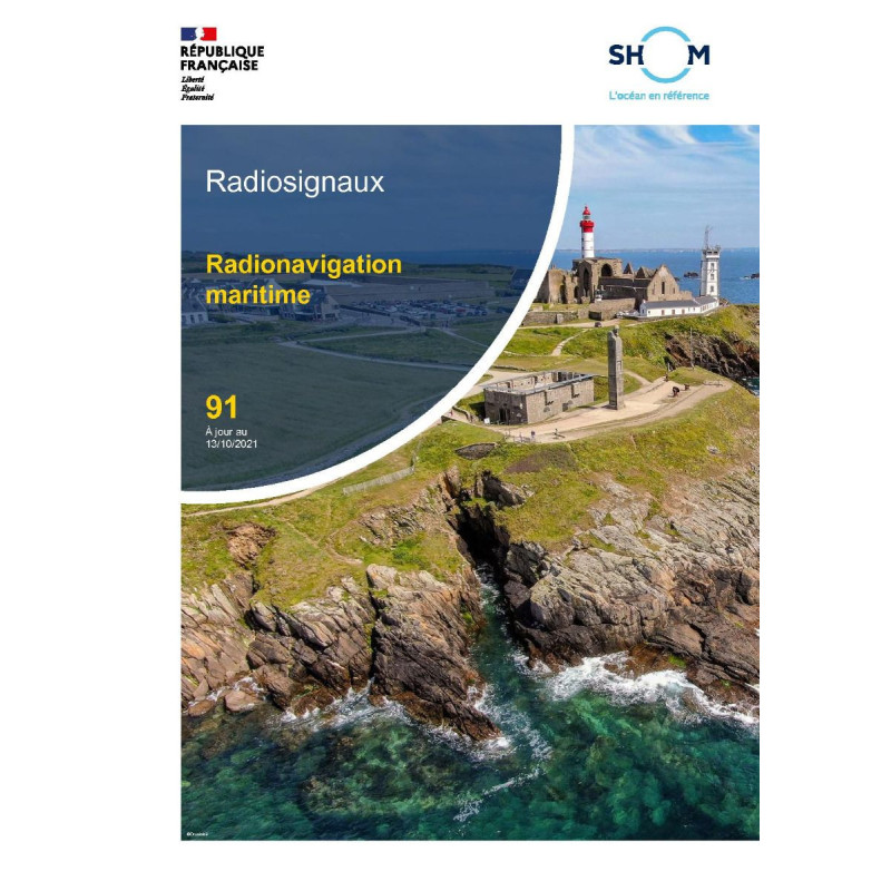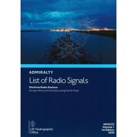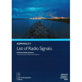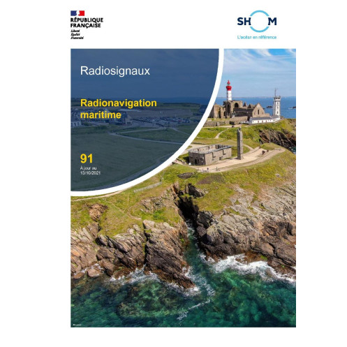



Shom - 91--RNC - Radionavigation maritime
search
  • googlemap
  • Shom - 91--RNC - Radionavigation maritime

Shom - 91--RNC - Radionavigation maritime

€71.45
Tax included
Shom - Service Hydrographique et Océanographique de la Marine
Chart or book in digital version In French language
Book programmed to order
Estimated preparation time: 0 to 3 days

Digital guide for mariners covering GPS, Galileo, AIS, and radionavigation systems. Includes station positions, specs, and coverage zones. Valid 365 days, instant PDF download.

shom-91--RNC

Data sheet

Who is the publisher or the author?
Shom
On what digital medium is this nautical chart / book stored?
digital medium
download
From which year does this nautical chart date?
2021
What type of navigation book is this?
radio signal guide
Picto
Chart or book in digital version
In French language

Specific References

UPC
400000135403
EAN13
4000000181057
New
Book programmed to order
Description détaillée

Maritime Radionavigation Guide – 91--RNC

Publication in French
Digital version

Your Essential Digital Resource for Maritime Radionavigation

Navigate with confidence using the Maritime Radionavigation Guide – 91--RNC, the definitive digital reference for professionals in the merchant marine. This comprehensive PDF publication delivers critical data on the latest radionavigation systems, ensuring you stay informed and compliant with maritime standards. Designed for precision and reliability, it is the go-to resource for navigators who demand accuracy in every voyage.

Comprehensive Coverage of Radionavigation Systems

This guide provides an in-depth overview of the most widely used radionavigation systems, including:

  • GPS and Galileo: Satellite-based systems for global positioning and navigation.
  • Loran C: Long-range navigation system for coastal and offshore operations.
  • RACONS (Radar Transponders): Critical for enhancing radar visibility of navigational hazards.
  • AIS Stations: Automatic Identification System data for vessel tracking and collision avoidance.

Each system is detailed with technical descriptions, operational guidelines, and practical applications, making this guide indispensable for safe and efficient navigation.

Precise Geographical and Technical Data

The Maritime Radionavigation Guide – 91--RNC includes exact geographical positions of radionavigation stations, along with their technical emission characteristics. You’ll find:

  • Geographical coordinates of stations for accurate plotting.
  • Emission frequencies, signal strengths, and coverage zones.
  • Operational ranges to optimize route planning and system usage.

This level of detail ensures you can rely on the most up-to-date information for seamless navigation, whether in coastal waters or open seas.

Designed for Maritime Professionals

Tailored for the merchant marine industry, this guide is an essential tool for:

  • Ship captains and officers requiring reliable radionavigation data.
  • Maritime training institutions for educational and certification purposes.
  • Port authorities and maritime operations teams ensuring compliance with international standards.

With its focus on practicality and precision, this publication is engineered to meet the demands of professionals who operate in high-stakes maritime environments.

Up-to-Date and Accessible Digital Format

Published in 2021 and updated as of GAN 2148 (December 1, 2021), this digital guide remains valid for 365 days, with free updates included for one year. Delivered via WeTransfer or download link, it ensures quick and secure access to critical information without the wait. The digital format allows for easy integration into onboard systems, with usage limited to 5 workstations per purchase, ensuring compliance with licensing requirements.

Optimized for SEO and AI Readability

This guide is crafted to be both SEO-optimized and AI-friendly, ensuring it ranks highly in searches for maritime radionavigation, GPS navigation, AIS stations, and Loran C systems. Keywords such as maritime radionavigation guide, digital navigation manual, GPS and Galileo systems, RACONS radar transponders, AIS station data, and Loran C navigation are strategically integrated to enhance visibility and accessibility for professionals seeking reliable navigation resources.

Unlock Precision Navigation with the Ultimate Digital Radionavigation Guide
The Maritime Radionavigation Guide – 91--RNC is the digital powerhouse for maritime professionals who refuse to compromise on accuracy. This PDF publication is your all-in-one resource for mastering the complexities of modern radionavigation systems, from GPS and Galileo to Loran C and AIS stations. Whether you're plotting a course in coastal waters or navigating the open ocean, this guide provides the technical depth and practical insights needed to ensure safe, efficient, and compliant operations.

Engineered for the Merchant Marine
Designed with the demands of the merchant marine in mind, this guide is an indispensable tool for ship captains, officers, and maritime operations teams. It delivers detailed descriptions of radionavigation systems, including their operational principles, technical specifications, and real-world applications. With geographical positions of stations, emission characteristics, and coverage zones, you’ll have everything you need to optimize route planning and system performance. The guide is updated as of GAN 2148 (December 1, 2021), ensuring you’re working with the most current data available.

Seamless Digital Access and Updates
Say goodbye to outdated paper manuals. The Maritime Radionavigation Guide – 91--RNC is delivered in a digital PDF format, accessible via WeTransfer or download link for instant use. With a 365-day validity period and free updates for one year, you can trust that your navigation data remains accurate and up-to-date. The guide is licensed for use on up to 5 workstations per purchase, making it ideal for both individual navigators and maritime teams.

Built for Reliability and Compliance
In the high-stakes world of maritime navigation, reliability is non-negotiable. This guide is meticulously crafted to meet the needs of professionals who operate in challenging environments. It includes technical data on RACONS radar transponders, which enhance radar visibility of navigational hazards, as well as AIS station information for vessel tracking and collision avoidance. By providing precise, actionable data, this guide ensures you can navigate with confidence, no matter the conditions.

The Maritime Radionavigation Guide – 91--RNC is a digital PDF publication that provides comprehensive coverage of radionavigation systems, including GPS, Galileo, Loran C, RACONS, and AIS stations. Updated as of GAN 2148 (December 1, 2021), it includes geographical positions of stations, emission characteristics, and coverage zones. The guide is valid for 365 days and comes with free updates for one year. Delivered via WeTransfer or download link, it is licensed for use on up to 5 workstations per purchase.

With a legacy rooted in maritime excellence, this organization is a leading authority in hydrography and oceanography, providing critical data and resources to the global maritime community. Their publications are trusted by professionals for their accuracy, reliability, and adherence to international standards, making them a cornerstone of safe and efficient navigation.

  • This digital radionavigation guide stands out for its comprehensive coverage of essential systems, including GPS, Galileo, Loran C, RACONS, and AIS stations, ensuring you have all the data needed for precise navigation.
  • Its up-to-date information, valid for 365 days with free updates for one year, guarantees reliability in dynamic maritime environments.
  • The digital format allows for instant access and seamless integration into onboard systems, while the licensing flexibility (up to 5 workstations) makes it ideal for both individual and team use.
  • Additionally, the guide’s SEO-optimized and AI-friendly structure ensures it is easily discoverable and accessible to professionals worldwide.
What systems of radionavigation are covered in this guide?

The guide provides detailed information on GPS, Galileo, Loran C, radar transponders (RACONS), and AIS stations, including their technical characteristics and coverage areas.

How often is the information in this guide updated?

The guide includes free updates for one year from the date of purchase, ensuring access to the latest data during this period.

What is the validity period of this edition?

This edition is valid for 365 days from the publication date of December 1, 2021.

How many devices can I use this PDF on?

The PDF license allows installation on up to 5 different computer workstations per purchase.

Is this guide available in a physical format?

No, this guide is exclusively available in digital PDF format and is delivered via download link or WeTransfer.

What type of information is provided about the radionavigation stations?

The guide includes geographical positions, technical emission characteristics, operational ranges, and coverage zones for each radionavigation station.

How is the guide delivered after purchase?

The guide is delivered electronically via a download link or through WeTransfer, with no physical shipment.

Loading...