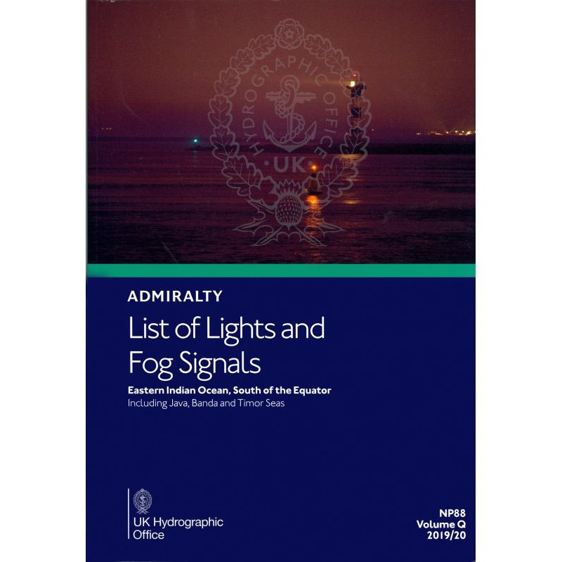




Navigate safely in the Eastern Indian Ocean with this guide to lighthouses, lighted buoys, and fog signals. Includes coordinates, technical specs, and ranges for vessels south of the equator.
Data sheet
Specific References
Navigate the Eastern Indian Ocean with confidence using this comprehensive guide to navigational lights and fog signals. Designed for commercial mariners, shipping companies, and naval officers, this publication delivers critical data on all major lighted aids to navigation in one of the world’s busiest maritime regions. Covering waters south of the equator—including the Java, Banda, and Timor Seas—this volume ensures safe passage through high-traffic corridors and remote coastal areas alike.
Precision Navigation Data for the Eastern Indian Ocean’s Most Critical Waters
When navigating the Eastern Indian Ocean—where commercial shipping lanes intersect with remote island chains—every light and fog signal becomes a vital checkpoint. This printed guide delivers verified, up-to-date information on all lighted navigational aids south of the equator, from the congested straits of Indonesia to the open waters of the Timor Sea. With coverage spanning latitudes from 0° to 26°S and longitudes from 67.7°E to 141°E, it provides the operational clarity needed for safe passage through one of the world’s most dynamic maritime environments.
Trusted by Maritime Professionals for Over a Century
Developed by the world’s leading hydrographic authority, this publication adheres to the highest standards of accuracy and reliability. Each entry is meticulously verified, including the international number, exact coordinates, light characteristics (elevation in meters, nominal range in nautical miles), and structural details. The guide also includes multilingual equivalents for key terms, ensuring accessibility for international crews. Whether you’re navigating a container vessel through the Java Sea or an offshore supply ship near Timor, this volume eliminates guesswork with data you can trust.
Built for the Demands of Modern Shipping
More than just a static reference, this guide is designed for real-world maritime operations. Its durable, water-resistant pages withstand the harsh conditions of bridge environments, while its logical geographic organization allows for rapid information retrieval during critical moments. The inclusion of range calculation tables further enhances its utility, enabling officers to assess visibility conditions at a glance. Updated weekly via Notices to Mariners, it ensures compliance with the latest IMO regulations and SOLAS requirements—making it an indispensable tool for commercial fleets, naval operations, and offshore industries.
Seamless Integration with Global Navigation Systems
While electronic navigation systems dominate modern bridge setups, this printed guide remains a critical backup and cross-reference tool. Its data aligns perfectly with Admiralty Sailing Directions and Electronic Navigational Charts (ENCs), providing a failsafe layer of redundancy. For vessels operating in areas with limited digital coverage or during system outages, this volume ensures uninterrupted access to essential navigational data. Its standardized format also facilitates quick comparisons with ECDIS displays, reducing the risk of misinterpretation during high-stress situations.
This printed guide covers the Eastern Indian Ocean south of the equator, including the Java, Banda, and Timor Seas, with detailed entries for all lighted navigational aids taller than 8 meters. Weighing 1.9 kg, it features water-resistant pages, standardized symbols, and range calculation tables. Updated weekly via Notices to Mariners, it includes geographic coordinates, light characteristics (elevation in meters, nominal range in nautical miles), and multilingual equivalents for international crews.
With over 200 years of expertise in maritime safety, the publisher behind this guide is the global benchmark for hydrographic data. Its publications are used by 90% of commercial shipping fleets worldwide, trusted for their unparalleled accuracy, rigorous update protocols, and compliance with international maritime regulations. From naval operations to offshore energy sectors, its references set the standard for navigational reliability.
The publication covers the Eastern Indian Ocean south of the equator, spanning latitudes from approximately 0° to -26° and longitudes from 67.7° to 141°.
Updates are provided via weekly Notices to Mariners issued by the Admiralty.
It includes lighthouses, lightships, illuminated floating marks (over 8 meters tall), fog signals, and other significant fixed navigation lights.
Yes, each entry includes foreign language equivalents for key navigational terms.
Each entry lists the international number, location, geographic coordinates, light characteristics (intensity, elevation in meters, range in nautical miles), and a structural description.
The guide includes tables to help calculate both the geographic and luminous ranges of lights.
Yes, it is Volume Q of a 15-volume regional series covering global navigational lights and fog signals.
You might also like