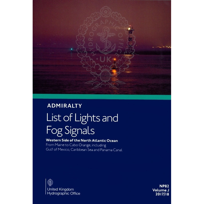




Navigate confidently from Maine to Panama with this comprehensive guide to lights and fog signals, covering 85,000+ maritime aids with precise coordinates and technical details.
Data sheet
Specific References
Navigate the coastal waters of the western North Atlantic, Gulf of Mexico, and Caribbean with confidence. This comprehensive guide delivers critical data on over 85,000 navigational aids, ensuring safe and efficient passage planning for commercial vessels, tankers, and cargo ships. Designed for mariners who demand precision, this publication is a cornerstone of maritime navigation in one of the world’s busiest shipping regions.
This publication is a vital tool for professionals in the merchant marine, providing the most authoritative and up-to-date information for safe navigation. Whether transiting the Panama Canal, navigating the Gulf of Mexico, or operating in the Caribbean, this guide ensures compliance with international maritime standards and enhances operational efficiency.
Master the Waters of the Western Atlantic, Gulf of Mexico, and Caribbean with Unrivaled Precision
This authoritative guide is the definitive resource for mariners navigating the complex coastal regions from Maine to Cabo Orange, including the Gulf of Mexico, Caribbean Sea, and approaches to the Panama Canal. With over 85,000 navigational aids documented, it provides exhaustive coverage of lighthouses, lighted buoys, fog signals, and other critical lights, ensuring safe and efficient passage planning for commercial vessels, tankers, and cargo ships. Every entry includes the international number, precise geographic coordinates, light characteristics, elevation, range, and structural details, making it an indispensable tool for professionals who demand accuracy and reliability.
Designed for the Demands of Modern Maritime Operations
Engineered to meet the needs of today’s maritime industry, this guide offers a structured and user-friendly format that allows for quick access to vital information. It includes multilingual descriptions of light and fog signal characteristics, as well as tables for calculating geographic and luminous ranges, empowering crews to make informed decisions in real time. Updated annually and supplemented by corrections in Notices to Mariners, this publication ensures that mariners always have the most current data at their fingertips, reducing risks and enhancing operational efficiency.
Built for Durability and Ease of Use at Sea
Weighing 1.9 kg, this printed guide is designed to withstand the rigors of life at sea while remaining easy to handle and reference. Its robust construction ensures longevity, even in challenging maritime environments, while its clear and concise layout allows for rapid consultation. Whether used as a primary reference or a backup to digital systems, this guide is a trusted companion for mariners operating in one of the world’s most critical shipping regions.
This printed guide covers the western North Atlantic, Gulf of Mexico, and Caribbean, providing detailed information on over 85,000 navigational aids, including lighthouses, lighted buoys, and fog signals. Each entry features international numbering, geographic coordinates, light characteristics, elevation, range, and structural descriptions. Updated annually, it includes corrections from Notices to Mariners and offers multilingual descriptions and range calculation tables for enhanced usability.
With a legacy spanning over two centuries, this publisher is a global leader in maritime navigation data, trusted by navies, commercial fleets, and maritime professionals worldwide. Renowned for its accuracy, reliability, and commitment to safety at sea, its publications are the gold standard for mariners navigating international waters.
The paper version weighs 1.9 kilograms.
The guide is published annually or updated regularly, with corrections issued in the Notices to Mariners.
It covers the west coast of the North Atlantic Ocean from Maine to Cabo Orange, including the Gulf of Mexico, Caribbean Sea, and approaches to the Panama Canal.
Yes, it includes floating navigational marks taller than 8 meters, along with lighthouses, lightships, and fog signals.
Yes, it provides equivalent descriptions of light and fog signal characteristics in foreign languages.
Each entry includes the international number, location, geographic coordinates, characteristics, intensity, elevation in meters, range in nautical miles, and a description of the structure.
Yes, a digital version is available, though it may cover different geographic zones.
You might also like