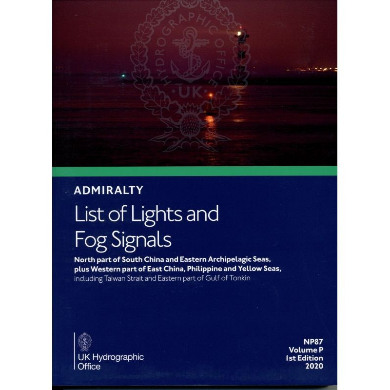




Navigate with confidence using this 2025 guide to lights and fog signals in the northern South China Sea and eastern archipelagic seas. Reliable, detailed, and updated for maritime safety.
Data sheet
Specific References
Navigate the complex waters of the North Part of the South China Sea, Eastern Archipelagic Seas, and Western Pacific with confidence. This authoritative publication delivers comprehensive, up-to-date information on navigational lights and fog signals, ensuring safe and efficient passage through some of the world’s busiest shipping lanes. Designed for mariners, shipping companies, and maritime authorities, this guide is an indispensable tool for voyage planning and real-time navigation.
In regions where precision and reliability can mean the difference between safe passage and costly delays, this guide provides the critical data mariners need to navigate with confidence. Whether charting a course through the congested waters of the South China Sea or ensuring compliance with local maritime regulations, this publication is an essential component of any professional navigator’s toolkit. Stay ahead of updates with the 2025 edition, featuring the latest corrections and enhancements for unparalleled accuracy.
Navigate High-Traffic Waters with Precision
The *List of Lights and Fog Signals – North Part of South China and Eastern Archipelagic Seas, Plus Western Part* is the definitive reference for mariners operating in one of the world’s most critical maritime regions. Covering the North Part of the South China Sea, Eastern Archipelagic Seas, and Western Pacific—including the Taiwan Strait and Eastern Gulf of Tonkin—this publication provides exhaustive details on navigational aids, ensuring safe and efficient passage through heavily trafficked and strategically vital waters.
Comprehensive Data for Professional Navigation
Every entry in this guide is meticulously curated to support professional maritime operations. It includes international numbers, exact geographic coordinates, light characteristics (such as color, period, and phase), intensities, elevations in meters, and nominal ranges in nautical miles. Structural descriptions of lighthouses, lightships, and floating beacons over 8 meters in height are also provided, along with fog signals and other critical navigational lights. This level of detail is indispensable for voyage planning, real-time navigation, and compliance with international maritime regulations.
Designed for Accuracy and Reliability
Published in the 6th edition for 2025, this guide is updated annually to incorporate the latest Notices to Mariners, ensuring mariners have access to the most current and accurate information. The paperback format is engineered for durability, with a lightweight yet sturdy construction weighing just 1.9 kg, making it ideal for use on the bridge or in the chartroom. Its standardized layout and clear presentation allow for quick reference, even in high-pressure situations, while multilingual equivalents for key terms enhance usability in international waters.
Trusted by Maritime Professionals Worldwide
This publication is a cornerstone of maritime navigation, relied upon by commercial fleets, naval operations, and maritime safety organizations. Its comprehensive coverage and adherence to international standards make it an essential tool for ensuring safe passage through some of the most challenging and congested shipping lanes in the world. Whether navigating the Philippine Seas or the Yellow Sea, this guide provides the critical data needed to make informed decisions and maintain operational efficiency.
This 2025 edition of the *List of Lights and Fog Signals* covers the North Part of the South China Sea, Eastern Archipelagic Seas, and Western Pacific, including the Taiwan Strait and Eastern Gulf of Tonkin. The paperback publication spans critical maritime zones with precise geographic coordinates, light characteristics, intensities, elevations, and nominal ranges for over 1,000 navigational aids. Weighing 1.9 kg, it is designed for durability and ease of use in professional maritime environments.
The publisher behind this essential maritime reference is a globally recognized authority in hydrographic and navigational data, trusted by commercial fleets, naval operations, and maritime safety organizations worldwide. With a legacy of precision and reliability, their publications adhere to the highest international standards, ensuring mariners have access to the most accurate and up-to-date information for safe and efficient navigation.
It covers the northern part of the South China Sea, eastern archipelagic seas, the western part of the East China Sea, the Philippine and Yellow Seas, including the Taiwan Strait and the eastern part of the Gulf of Tonkin.
The publication is updated annually with new editions and navigational notices to ensure accuracy.
Each entry provides the international number, location or name, geographic coordinates, characteristics, intensity, height in meters, range in nautical miles, and a description of the structure.
The product weighs 1.9 kg, with a shipping weight of 2.8 lb.
The primary language is English, but foreign language equivalents are included where applicable.
It is available in a paperback or softcover format.
This is the 6th edition, published in 2025.
You might also like