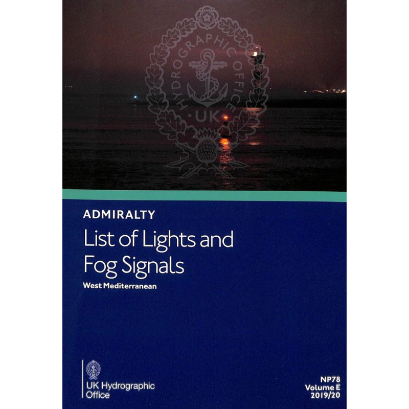




Essential for safe navigation in the Western Mediterranean, this guide details over 85,000 light structures and fog signals. Updated annually, it ensures accuracy for maritime professionals.
Data sheet
Specific References
Navigate the Western Mediterranean with confidence using this comprehensive nautical publication. Designed for merchant marine professionals, this volume provides critical data on over 85,000 light structures, including lighthouses, lightships, illuminated buoys (over 8 meters tall), fog signals, and other key navigation lights. Stay informed with the most accurate and up-to-date information to ensure safe and efficient voyages in one of the world’s busiest maritime regions.
This publication is a cornerstone for commercial shipping, port authorities, and maritime safety organizations. Its reliability and depth of information make it indispensable for professionals who demand the highest standards in navigation safety. Whether you're navigating coastal waters or major shipping lanes, this volume ensures you have the data needed to make informed decisions.
Maritime conditions evolve, and so does this publication. With weekly digital updates and annual printed revisions, you can trust that your navigation data is always current. This commitment to accuracy ensures compliance with international maritime regulations and enhances operational safety.
Navigate the Western Mediterranean with Precision and Confidence
This essential nautical publication delivers unparalleled coverage of over 85,000 light structures and fog signals across the Western Mediterranean, making it a must-have for maritime professionals. From lighthouses to illuminated buoys and fog signals, this volume provides the critical data needed to ensure safe and efficient navigation in one of the world’s most trafficked maritime regions. Designed for commercial shipping, port authorities, and safety organizations, it combines accuracy, reliability, and ease of use to support every voyage.
Comprehensive and Up-to-Date Navigation Data
Every entry in this publication is meticulously detailed, featuring international numbers, precise geographic coordinates, light characteristics, elevation in meters, range in nautical miles, and structural descriptions. With foreign language equivalents for light descriptions and tables for calculating geographic and luminous ranges, navigators can plan routes with confidence, regardless of the waters they traverse. Updated weekly through digital notices and annually in print, this volume ensures you always have the most current information at your fingertips.
Built for Professional Use
Printed in a convenient A4 format, this publication is designed for easy reference on board. Its regional organization allows for quick access to relevant data, while its inclusion in a 15-volume global series ensures consistency and completeness. Whether you're navigating coastal waters or major shipping lanes, this volume provides the reliability and depth of information that maritime professionals demand.
This printed nautical publication covers the Western Mediterranean region, providing detailed information on over 85,000 light structures and fog signals. Available in A4 format with 200-400 pages, it weighs approximately 0.5-1 kg. Updated annually in print and weekly through digital notices, it is published in English and is part of a 15-volume series covering global waters.
With a legacy of excellence in maritime navigation, this publisher is a global leader in providing accurate and reliable nautical data. Trusted by commercial shipping, port authorities, and maritime safety organizations worldwide, their publications are designed to meet the highest standards of precision and safety, ensuring navigators have the tools they need for every voyage.
This volume covers the Western Mediterranean region, including coastal areas from Spain to Italy and North Africa, with precise latitude and longitude coordinates for navigation reference.
The printed edition is updated annually, with weekly digital updates available to ensure the latest navigational information is reflected.
Each entry provides the international number, location, geographic coordinates, light characteristics, elevation in meters, range in nautical miles, and a description of the structure.
Yes, equivalent descriptions in foreign languages are provided alongside the primary English text for international navigational clarity.
The printed volume weighs approximately 0.5 to 1 kg, depending on the number of pages, which ranges between 200 and 400.
The volume includes dedicated tables to help calculate both the geographic and luminous range of lights based on provided specifications.
Yes, this is Volume E in a 15-volume series (A-Q), each covering different global regions for comprehensive navigational coverage.
You might also like