





Access over 85,000 navigation lights and fog signals for the Mediterranean and Black Sea. This digital guide delivers weekly updates, ensuring up-to-date and accurate data for maritime safety.
Data sheet
Specific References
Elevate Your Navigation with the Ultimate Digital Light List
For mariners navigating the Mediterranean and Black Sea, this digital publication is an indispensable tool for safe and precise voyage planning. Covering over 85,000 fixed navigational lights, including lighthouses, lightships, and illuminated buoys, it provides a level of detail that paper charts simply cannot match. With weekly updates and seamless integration into modern navigation systems, this guide ensures you always have the most accurate and reliable data at your fingertips.
Designed for Professional Mariners
Tailored for use with ECDIS, ECS, and ARCS systems, this digital publication is built to meet the demands of professional navigation. Its compatibility with Windows 7 and later, along with export options in XML and CSV formats, allows for effortless integration into your existing workflow. Whether you're managing a commercial vessel or a private yacht, this tool enhances operational efficiency and reduces the risk of errors.
A Global Standard for Maritime Safety
Trusted by flag states representing over 80% of international shipping, this publication is a cornerstone of maritime safety. Its annual license ensures continuous access to the latest data, while its digital format eliminates the need for cumbersome paper updates. With multilingual support and detailed coverage of navigational aids, it’s the go-to resource for mariners who prioritize accuracy and reliability.
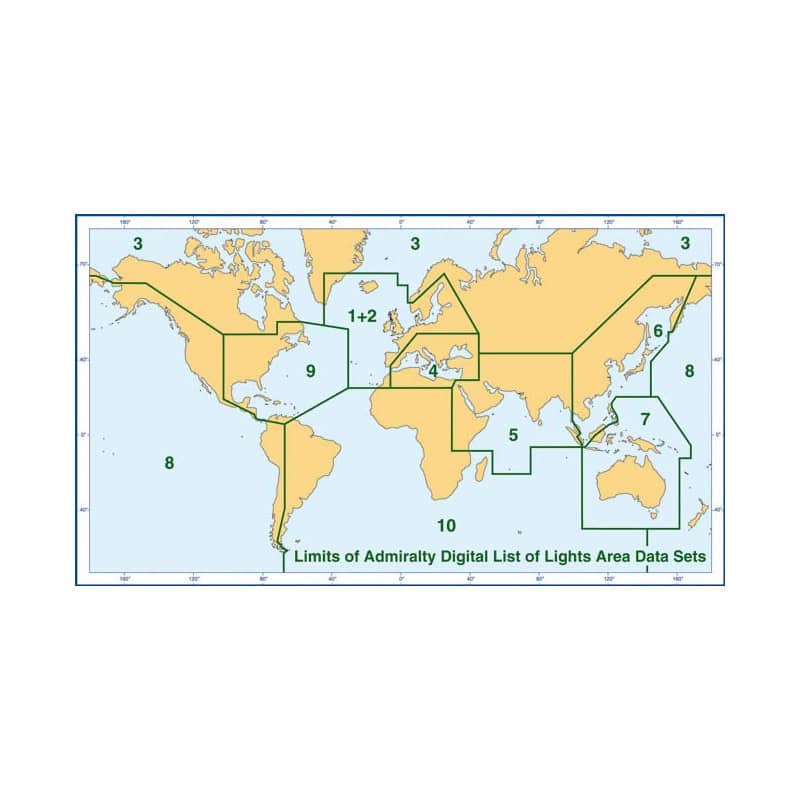
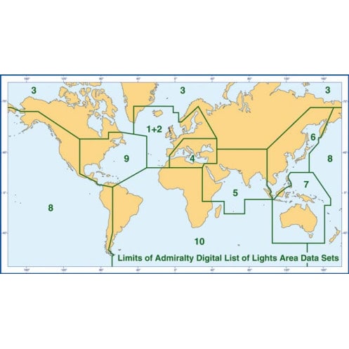
This digital publication provides comprehensive coverage of over 85,000 navigational lights and fog signals in Zone 4, encompassing the Mediterranean and Black Sea. Updated weekly via electronic Notices to Mariners, it includes detailed data fields such as international numbers, coordinates, light characteristics, intensity, elevation, and range in nautical miles. Compatible with Windows 7 and later, as well as ECDIS systems, it supports XML and CSV export formats for seamless integration into navigation workflows. The annual license ensures continuous access to the most current data, making it a reliable choice for professional mariners.
With a legacy spanning over two centuries, this brand is synonymous with precision and reliability in maritime navigation. Renowned for its authoritative publications, it sets the global standard for hydrographic data, trusted by mariners, naval forces, and commercial fleets worldwide. Its commitment to accuracy and innovation ensures that every product meets the highest standards of safety and efficiency.
This publication is compatible with Windows 7 and later versions, as well as compatible ECDIS systems.
Updates are provided weekly through electronic Notices to Mariners.
Yes, the data is available in XML format with options to export as CSV for integration with other systems.
No, the digital version does not cover exactly the same area as the equivalent paper publications.
The publication includes descriptions in English and French, along with foreign language equivalents.
It includes lighthouses, lightships, light buoys over 8 meters tall, fog signals, and other fixed navigational lights.
Yes, it is approved by the flag states of over 80% of international vessels.
You might also like