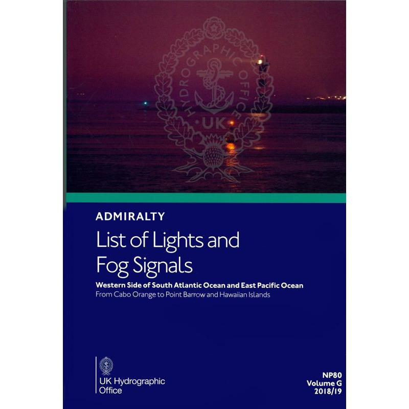




Ensure safe navigation in the South Atlantic and East Pacific with this comprehensive guide. Details over 85,000 light structures, fog signals, and key navigational aids for maritime professionals.
Data sheet
Specific References
Navigate the South Atlantic and East Pacific with confidence using this authoritative reference, designed for merchant marine officers, shipmasters, and maritime navigators. This comprehensive guide delivers precise, up-to-date information on over 85,000 light structures, including lighthouses, lightships, illuminated floating marks, fog signals, and other essential navigational lights—all critical for safe passage in these high-traffic regions.
In regions where navigational hazards are frequent and chart data may be limited, this publication provides the clarity and reliability needed to avoid risks. Whether navigating the busy shipping lanes of the Pacific, the remote coastlines of the South Atlantic, or the challenging waters around the Hawaiian Islands, this guide ensures your crew has the most accurate and actionable data at their fingertips. Equip your vessel with the same trusted resource used by maritime professionals globally—because in navigation, precision isn’t optional.
Navigate the South Atlantic and East Pacific with Unrivaled Precision
When every mile counts, this essential navigation guide delivers the critical data maritime professionals rely on. Covering the western South Atlantic and eastern Pacific—from Cabo Orange to Point Barrow, including the Hawaiian Islands—this paperback reference provides instant access to over 85,000 light structures, fog signals, and navigational aids. Designed for merchant marine officers, shipmasters, and navigators, it transforms complex coastal and open-water navigation into a streamlined, error-free process.
Engineered for High-Stakes Maritime Operations
This isn’t just a list—it’s a lifeline for vessels operating in some of the world’s most trafficked and challenging waters. Each entry includes the international number, precise geographic coordinates, light characteristics (color, period, phase), elevation in meters, nominal range in nautical miles, and a detailed structural description. Fog signals are equally comprehensive, with operational patterns and foreign language equivalents for international compliance. Tables for calculating geographic and luminous ranges ensure accurate visibility assessments, even in low-light or adverse weather conditions.
Built for the Bridge, Backed by a Legacy of Reliability
Weighing 1.9 kg, this durable paperback is designed for the rigors of daily use on the bridge or in navigation stations. Its standardized layout allows for rapid information retrieval, while regular updates via Notices to Mariners guarantee compliance with the latest maritime regulations. Whether planning a voyage, monitoring a route, or responding to an emergency, this guide provides the clarity and confidence needed to navigate safely—no matter the conditions.
Why This Guide Belongs on Every Professional Vessel
In regions where chart data may be limited or hazards are frequent, this publication fills the gap with unmatched accuracy. It’s the same trusted resource used by commercial fleets, naval operations, and maritime authorities worldwide. For vessels traversing the South Atlantic or East Pacific, this isn’t just a tool—it’s a safeguard for your crew, cargo, and vessel.
This comprehensive navigation guide covers over 85,000 light structures and fog signals across the western South Atlantic and eastern Pacific, including lighthouses, lightships, illuminated floating marks (over 8 meters tall), and other critical navigational aids. Each entry provides the international number, geographic coordinates, light characteristics (color, period, phase), elevation in meters, nominal range in nautical miles, and structural descriptions. The guide also includes fog signal details, foreign language equivalents, and tables for calculating geographic and luminous ranges. Weighing 1.9 kg, this paperback edition is updated regularly via Notices to Mariners to ensure compliance with the latest maritime standards.
With a legacy spanning over two centuries, this publisher is the gold standard in maritime navigation, trusted by commercial fleets, naval operations, and maritime authorities worldwide. Their publications are renowned for their precision, reliability, and adherence to the highest industry standards, ensuring navigators have the most accurate and up-to-date information at their fingertips. Regular updates and a global network of contributors make their guides indispensable for safe and efficient maritime operations.
The coverage spans from latitude -79.00000000 to 70.50000000 and longitude -120.00000000 to 170.00000000, including the western side of the South Atlantic and the East Pacific.
The publication is updated regularly through Notices to Mariners to ensure accuracy and relevance.
The publication includes light structures taller than 8 meters.
Yes, digital versions are available for regions not covered by this paper edition.
Each entry includes the international number, location or name, geographic coordinates, light characteristics, elevation in meters, range in nautical miles, and a description of the structure.
The paper version weighs approximately 1.9 kg.
No, the publication is only available in English, though it includes foreign language equivalents for light and fog signal characteristics.
You might also like