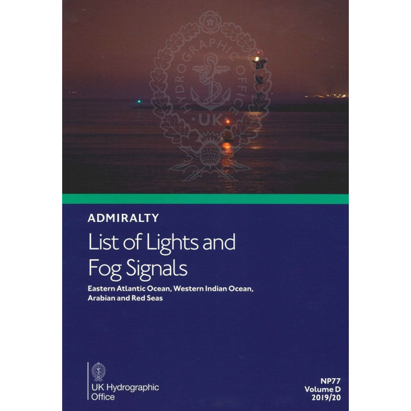




Essential for safe navigation, this guide covers over 85,000 navigation lights and fog signals across the Eastern Atlantic, Western Indian Ocean, Arabian, and Red Seas. Updated annually for accuracy.
Data sheet
Specific References
Navigate with Precision Across Critical Maritime Regions
When every mile counts, this List of Lights and Fog Signals becomes your most trusted ally. Covering the Eastern Atlantic Ocean, Western Indian Ocean, Arabian Sea, and Red Sea, this publication is the definitive reference for mariners who demand accuracy, reliability, and up-to-date navigation data. With over 85,000 entries, it provides an unmatched level of detail for lighthouses, lightships, illuminated buoys, and fog signals—ensuring you have the critical information needed to navigate safely, even in the most challenging conditions.
Engineered for Professional Mariners
Designed for the rigors of commercial shipping and offshore operations, this volume delivers more than just coordinates. Each entry includes precise light characteristics, elevation, intensity, nominal range, and structural descriptions, allowing you to assess visibility and identify navigation aids with confidence. The included geographic and luminous range tables further enhance your ability to plan safe passages, while foreign language equivalents ensure clarity in international waters. Updated annually and weighing 1.9 kg, this paper edition is built to withstand the demands of onboard use, providing a durable and dependable resource for every voyage.
Seamless Integration with Maritime Operations
This publication is more than a reference—it’s a critical component of your navigation toolkit. It aligns with Admiralty Notices to Mariners for continuous updates, ensuring you always have the latest corrections and amendments. Whether you're transiting high-risk areas like the Gulf of Aden, navigating the congested waters of the Red Sea, or operating in the Eastern Atlantic, this volume provides the data you need to maintain compliance with SOLAS regulations and enhance operational safety. With its IMPA code 370614, it also streamlines procurement and inventory management for commercial fleets, making it an essential asset for maritime professionals worldwide.
This annual publication provides comprehensive coverage of over 85,000 navigation lights and fog signals, including lighthouses, lightships, and illuminated floating marks exceeding 8 meters in height. It features precise geographic coordinates, light characteristics, elevation, intensity, nominal range, and structural descriptions, along with foreign language equivalents. The paper edition weighs 1.9 kg and includes tables for calculating geographic and luminous ranges, ensuring accurate visibility assessments. Updated via Admiralty Notices to Mariners, it covers the Eastern Atlantic Ocean, Western Indian Ocean, Arabian Sea, and Red Sea.
With over two centuries of expertise in hydrography and maritime navigation, this organization sets the global standard for nautical publications. Renowned for accuracy, reliability, and innovation, their products support safe and efficient navigation across the world’s oceans, serving commercial fleets, naval operations, and offshore industries with unparalleled precision.
The publication weighs 1.9 kilograms, making it suitable for onboard use without adding significant bulk.
This publication is updated annually, with the latest edition released in 2025 to ensure navigational data remains current.
It covers over 85,000 navigational aids, including lighthouses, lightships, floating beacons taller than 8 meters, fog signals, and other fixed lights.
Yes, the publication includes foreign language equivalents for key navigational terms to assist international mariners.
The publication includes tables that allow mariners to calculate both the geographical and luminous range of lights for precise navigation.
Yes, a digital version is available, though it may cover different geographic zones than the paper edition.
The IMPA code for this publication is 370614, which can be used for procurement and inventory purposes.
You might also like