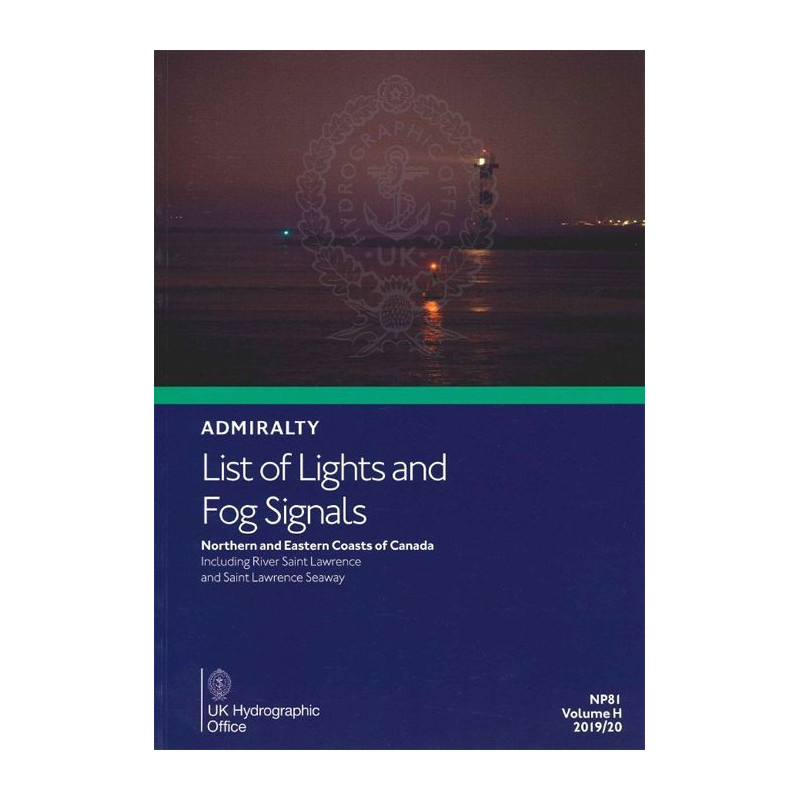




This West Atlantic guide details lighthouses, fog signals, and navigational lights along Canada’s northern and eastern coasts, including the St. Lawrence River. Updated annually for accuracy.
Data sheet
Specific References
Navigating the waters of the West Atlantic demands precision, reliability, and up-to-date information. This official nautical publication delivers exactly that—comprehensive, accurate, and indispensable data on all navigational lights and fog signals in the region. Designed for mariners who refuse to compromise on safety, it ensures you have the critical details needed to chart a secure course through some of the busiest and most challenging waters in the world.
This publication is engineered for professionals in the maritime industry—commercial ship captains, navigators, pilots, and maritime authorities who demand the highest standards of accuracy and reliability. It’s not just a book; it’s a tool that enhances safety, efficiency, and compliance with international maritime regulations. With annual updates and notices to mariners, you can trust that the information is always current, reflecting the latest changes in navigational aids and coastal infrastructure.
In the fast-paced world of maritime navigation, there’s no room for error. This publication provides the critical data you need to navigate safely, efficiently, and in compliance with international standards. Whether you’re charting a course through the St. Lawrence Seaway or the open waters of the North Atlantic, this guide is your indispensable companion for safe and successful voyages.
Navigate the West Atlantic with Unmatched Precision
When every mile counts, and safety is non-negotiable, this official List of Lights and Fog Signals for the West Atlantic is your ultimate navigational ally. Covering the northern and eastern coasts of Canada, including the St. Lawrence River and the St. Lawrence Seaway, this volume provides mariners with the most accurate and up-to-date information on all critical navigational aids. From lighthouses and lightships to floating marks and fog signals, this guide ensures you have the data needed to navigate with confidence, even in the most challenging conditions.
Comprehensive Data for Every Navigational Need
This publication leaves no stone unturned. Each entry includes the international number, precise geographic coordinates, light characteristics, intensity, elevation in meters, nominal range in nautical miles, and a detailed description of the structure. Whether you're calculating the geographic or luminous range of a light or interpreting fog signals in low-visibility conditions, the built-in tables and multilingual descriptions make it easy to access the information you need, when you need it. No more second-guessing—just clear, actionable data to keep your vessel on course.
Built for Professionals, Backed by Authority
Designed for commercial mariners, pilots, and maritime authorities, this guide is a cornerstone of safe navigation. Updated annually to reflect the latest notices to mariners, it ensures you’re always working with the most current information. Its durable softcover format is built to withstand the demands of life at sea, making it a reliable companion for every voyage. Whether you're navigating the bustling waters of the St. Lawrence Seaway or the open expanses of the North Atlantic, this publication is your trusted source for critical navigational data.
This List of Lights and Fog Signals for the West Atlantic (Volume H) is a printed publication in English, covering the northern and eastern coasts of Canada, including the St. Lawrence River and the St. Lawrence Seaway. Weighing 1.9 kg, it features a softcover format for durability and ease of use. The 2025 edition (6th edition) includes annual updates with notices to mariners, ensuring the information remains current and reliable. With precise geographic coordinates, light characteristics, and fog signal data, this guide is an essential tool for safe and efficient navigation.
For over two centuries, this organization has been the gold standard in maritime navigation, providing accurate and reliable nautical publications to mariners worldwide. Their commitment to precision, safety, and innovation has made their publications indispensable tools for commercial and recreational vessels alike. With a legacy of excellence, they continue to set the benchmark for navigational data, ensuring mariners have the information they need to navigate safely and efficiently.
This publication covers the north and east coasts of Canada, including the Saint Lawrence River and the Saint Lawrence Seaway in the West Atlantic region.
The publication is updated annually, with new editions released to include the latest navigational notices.
Each entry includes the international number, location/name, geographic coordinates, light characteristics, intensity, elevation in meters, range in nautical miles, and a description of the structure.
Yes, equivalent descriptions in foreign languages are provided alongside the primary details.
The printed publication weighs approximately 1.9 kg.
Yes, the publication includes tables to help calculate both the geographic and luminous range of lights.
Yes, a digital version is available, though it may cover different zones than the printed edition.
You might also like