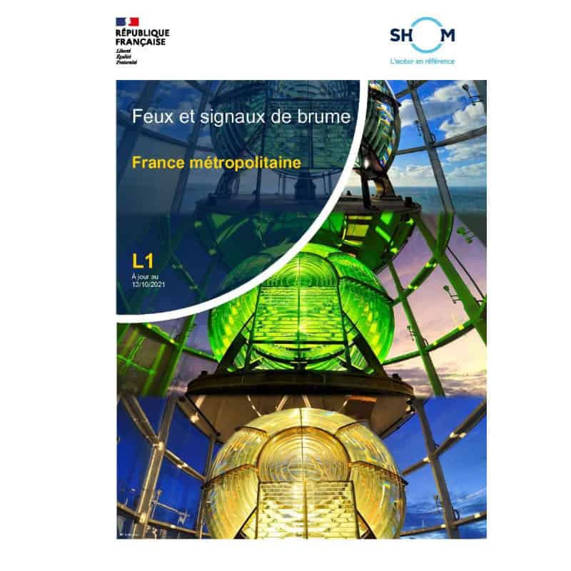
Essential for safe navigation, this digital guide covers all maritime lights and fog signals across Metropolitan France. Updated for 2021, it includes charts, indexes, and free updates for a year.
Data sheet
Specific References
Your Essential Digital Guide to French Maritime Lights and Signals
Navigate French waters with confidence using this comprehensive digital reference covering all lighted aids to navigation in Metropolitan France. This professional-grade publication provides mariners with critical information on lighthouses, lighted buoys, and fog signals across the Northeast Atlantic, English Channel, and southern North Sea regions.
Complete Coverage of Key Maritime Zones
This digital guide offers unparalleled coverage of French navigational aids, from the Scilly Islands to the Strait of Gibraltar. It includes detailed information for the English Channel, Atlantic coast, and Mediterranean approaches, making it indispensable for vessels operating in these high-traffic areas. Each entry provides precise geographic coordinates, light characteristics, and signal information for safe passage planning.
Professional Navigation Tools at Your Fingertips
The publication features geographically organized light tables, international/French numbering concordance, and standardized symbols for quick reference. Mariners benefit from an alphabetical index, illustrated data tables, and clear abbreviations that eliminate guesswork during critical navigation moments. The digital format allows for instant searches, making information retrieval faster than traditional paper publications.
Designed for Commercial Maritime Operations
Created specifically for professional mariners, this guide supports safe and efficient operations in French waters. Whether navigating coastal routes, entering ports, or planning offshore passages, the publication provides the accurate, up-to-date information needed for compliance with maritime regulations. The digital format ensures your crew always has access to current data without the bulk of paper charts.
Reliable Updates and Secure Access
Receive annual updates included with your purchase, ensuring your navigation data remains current for 12 months. Email notifications alert you to new editions, while the secure download link provides instant access to the PDF format. Licensed for use on up to 5 workstations, this digital guide offers flexibility for your entire navigation team.
This digital navigation guide provides comprehensive coverage of maritime lights and signals in Metropolitan France through a searchable PDF format. The 2021 edition (GAN 2619) includes detailed information on all lighted aids to navigation, with precise geographic coordinates spanning from 41.2°N to 51.9°N latitude and -7.6°W to 10.3°E longitude. The publication features geographically organized light tables, international/French numbering concordance, and standardized symbols for professional navigation. Updates are provided for 12 months, with email notifications for new editions, and the license permits installation on up to 5 workstations.
For over three centuries, this organization has served as France's official authority for hydrographic and oceanographic information. Specializing in maritime safety and navigation, they produce the most accurate and comprehensive nautical publications for French waters. Their digital products combine centuries of maritime expertise with modern technology, providing professional mariners with reliable, up-to-date navigation resources that meet international standards for commercial shipping operations.
It covers metropolitan France, including the Northeast Atlantic (from the Scilly Islands to the Strait of Gibraltar), the English Channel, and the southern North Sea.
The file can be accessed on up to 5 different computers per client.
Yes, free updates are provided for 12 months from the date of purchase via email notification.
It includes maritime signals from shore-based and floating structures, such as lighthouses and fog signals.
No, it is only available as a digital PDF download and cannot be returned or exchanged.
The publication is valid for 365 days from the date of purchase, with updates available for 12 months.
Yes, it features a concordance table matching international and French signal numbers.
You might also like