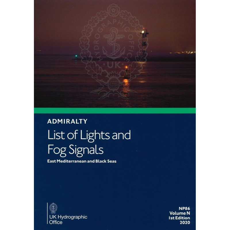




This guide covers 85,000+ lights and fog signals in the East Mediterranean and Black Sea. Includes precise coordinates, light ranges, and characteristics for safe and efficient navigation.
Data sheet
Specific References
Navigate the East Mediterranean and Black Sea with Unmatched Precision
This essential navigation guide delivers comprehensive, verified data on over 85,000 lights and fog signals across the East Mediterranean and Black Sea, ensuring safe passage through one of the world’s busiest maritime regions. Designed for merchant marine professionals, it provides critical details—from exact coordinates to light characteristics—so you can plan and execute voyages with confidence.
Trusted Data for High-Stakes Navigation
Every entry in this publication is meticulously curated to meet the demands of professional mariners. You’ll find international numbers, geographic coordinates, light intensity, elevation, nominal range, and structural descriptions for lighthouses, lightships, floating beacons, and fog signals. Multilingual descriptions and range calculation tables further enhance its utility, making it a must-have for international operations.
Built for Reliability in Any Condition
Published in a durable paper format, this guide ensures access to critical navigation data even in environments where digital systems may fail. Updated regularly via Notices to Mariners, it reflects the latest changes in navigational aids, helping you stay compliant with maritime safety standards. The 2025 edition is the most current resource available, trusted by captains, navigators, and maritime safety officers worldwide.
Seamless Integration into Maritime Workflows
Part of a 15-volume global series, this publication is designed to work alongside other navigation tools, providing a cohesive and reliable resource for voyage planning, risk assessment, and emergency response. Its standardized layout and clear presentation make it easy to reference during operations, reducing downtime and enhancing efficiency.
This navigation guide covers the East Mediterranean and Black Sea regions, providing detailed information on over 85,000 navigational aids, including lighthouses, lightships, floating beacons, and fog signals. The 2025 edition, weighing 3 lb, is published in English and features international numbers, geographic coordinates, light characteristics, elevation, nominal range, and structural descriptions. Updated regularly through Notices to Mariners, it ensures compliance with the latest maritime safety standards.
With a legacy of excellence in hydrographic data, this publisher is a global leader in maritime navigation resources. Their publications are trusted by professionals worldwide for accuracy, reliability, and compliance with international standards, making them an indispensable partner for safe and efficient maritime operations.
The coverage spans latitudes from approximately 29.25°N to 49.00°N and longitudes from 9.75°E to 44.70°E, covering the East Mediterranean and Black Sea regions.
This volume includes details on over 85,000 light structures, such as lighthouses, lightships, and floating marks.
Yes, the publication provides equivalent descriptions of light and fog signal characteristics in foreign languages.
The publication is updated regularly through Notices to Mariners to ensure accuracy and relevance.
The paper version weighs approximately 3 pounds.
Yes, it includes tables to calculate both geographical and luminous ranges of lights.
Currently, this volume is only available in paper format, though digital versions exist for other regions.
You might also like