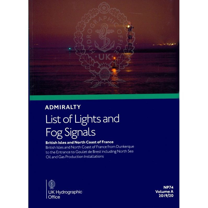




Navigate confidently with this comprehensive guide to lights and fog signals in the British Isles and Northern France. Includes coordinates, light details, and signal ranges for over 80,000 entries.
Data sheet
Specific References
Master the Waters of the British Isles and Northern France with Unrivaled Precision
When every mile counts, trust the most authoritative guide to navigational aids in one of the world’s most complex maritime regions. This essential publication delivers exhaustive, up-to-date information on over 80,000 lights, fog signals, and other critical markers, ensuring safe passage through the British Isles, the English Channel, and Northern France—from Dunkirk to the Goulet de Brest. Designed for professionals who operate in high-stakes environments, this guide is the backbone of maritime safety for merchant vessels, offshore platforms, and coastal authorities.
Comprehensive Coverage for Every Navigational Challenge
No detail is overlooked. This guide covers every lighthouse, lightship, and floating mark over 8 meters high, along with fog signals and other essential navigational lights. It includes offshore oil and gas installations in the North Sea, providing full situational awareness in industrial maritime zones. Each entry is meticulously documented with the international number, precise location, geographic coordinates, light characteristics, intensity, elevation, and nominal range in nautical miles. Whether navigating coastal waters or busy shipping lanes, this publication ensures you have the data needed to make informed decisions.
Engineered for Accuracy and Reliability
Built for professionals, this guide combines precision with practicality. It features graphical representations of sector limits, obscured sectors, and arcs of visibility, allowing for quick visual reference. Distance tables for lights with ranges over 10 nautical miles and fog signal range tables further enhance navigational planning. Weekly updates via Notices to Mariners keep the printed edition current, while digital versions offer real-time accuracy with weekly updates. This ensures compliance with international maritime regulations and best practices, making it an indispensable tool for safe and efficient operations.
Designed for the Demands of Modern Maritime Operations
This publication is more than a reference—it’s a critical asset for maritime professionals. It includes RAMARK and RACON radar beacons, pilot signals, and wreck marking systems, providing a complete navigational toolkit. The logical organization by region and type of aid ensures quick, efficient access to information, while foreign language equivalents for light and fog signal characteristics support international operations. Whether you’re navigating congested shipping lanes, planning offshore operations, or ensuring regulatory compliance, this guide delivers the reliability and precision you need.
This annual printed publication provides exhaustive coverage of navigational aids across the British Isles and Northern France, from Dunkirk to the Goulet de Brest. It includes over 80,000 entries detailing lighthouses, lightships, floating marks over 8 meters, fog signals, and other critical lights. Each entry features geographic coordinates, light characteristics, intensity, elevation in meters, and nominal range in nautical miles. The guide also includes RAMARK and RACON radar beacons, pilot signals, wreck marking systems, and distance tables for lights exceeding 10 nautical miles. Updated annually with weekly Notices to Mariners, it weighs 1.9 kg and is published in English.
For over two centuries, this organization has set the standard for maritime navigation, providing the world’s most trusted nautical publications and digital solutions. Renowned for accuracy, reliability, and innovation, their products support safe and efficient navigation across global waters, serving commercial fleets, offshore industries, and maritime authorities with unparalleled precision.
The printed version weighs 1.9 kg, making it suitable for onboard reference without taking up excessive space.
The printed edition is published annually, with weekly updates provided through Notices to Mariners to ensure accuracy.
Yes, it includes detailed information on offshore oil and gas installations in the North Sea as part of its coverage.
Yes, conspicuous sector limits are represented graphically for easier navigation and reference.
This volume covers latitudes from 48°N to 62°N, ensuring comprehensive coverage of the specified region.
Yes, it includes wreck marking systems to assist mariners in identifying and avoiding hazards.
This volume contains over 80,000 entries, providing extensive details on navigational aids and signals.
You might also like