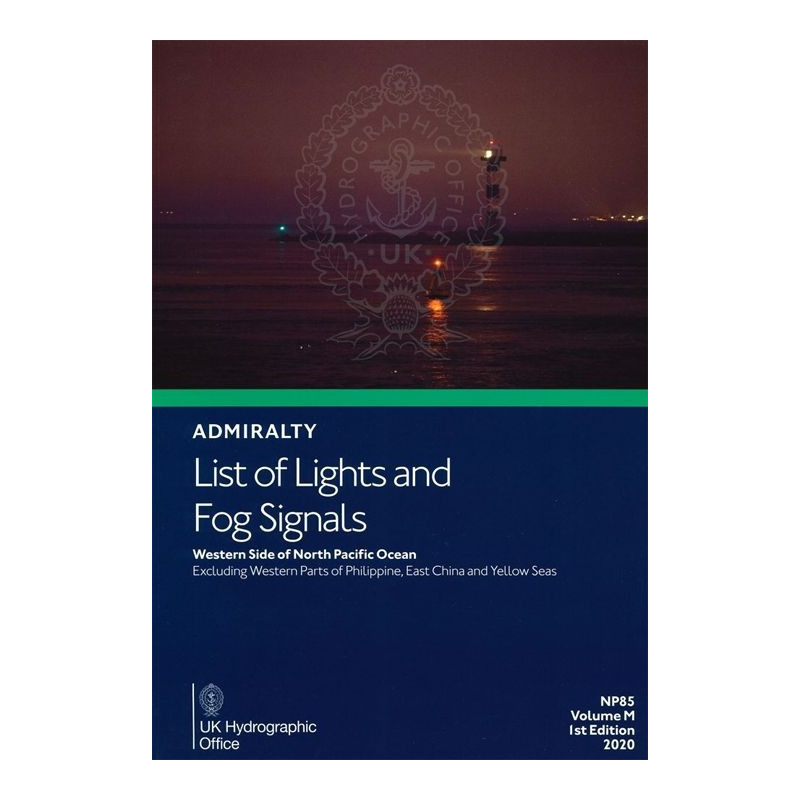


Admiralty - NP085 - List of lights and Fog Signals - West side N Pacific
search
  • googlemap
  • Admiralty - NP085 - List of lights and Fog Signals - West side N Pacific

Admiralty - NP085 - List of lights and Fog Signals - West side N Pacific

€85.25
Tax included
Admiralty - United Kingdom Hydrographic Office
In English language
Estimated preparation time: 5 to 14 days

Reliable navigation in the western North Pacific starts here. Covers lighthouses, fog signals, and navigational lights with precise coordinates, light ranges, and structural details.

NP085

Data sheet

Who is the publisher or the author?
Admiralty
On what digital medium is this nautical chart / book stored?
paper medium
From which year does this nautical chart date?
2020
What type of navigation book is this?
guide to fog lights and signals
Picto
In English language

Specific References

UPC
400000133768
EAN13
4000000107590
New
Description détaillée

List of Lights and Fog Signals – West Side North Pacific

Navigation guide in English
Paper version

Critical Navigation Data for Safe Maritime Operations

This authoritative publication delivers comprehensive details on all lighthouses, lightships, floating marks over 8 meters, fog signals, and other essential navigation lights across the western North Pacific. Designed for commercial mariners, it ensures precise, up-to-date information for safe passage in one of the world’s busiest maritime regions.

Unmatched Coverage for High-Stakes Navigation

Covering the western North Pacific—excluding the western Philippines, East China Sea, and Yellow Sea—this guide provides unparalleled accuracy for vessels navigating complex waters. It includes:
  • Detailed characteristics of lights and fog signals
  • Foreign language equivalents for international clarity
  • Tables for calculating geographic and luminous ranges
  • International light numbers, exact coordinates, and structural descriptions

Engineered for Professional Mariners

Every entry is meticulously structured to support decision-making at sea:
  • Light intensity and elevation in meters for visibility assessment
  • Range in nautical miles for distance planning
  • Geographic coordinates for precise positioning
  • Regular updates via Notices to Mariners to maintain accuracy

Trusted by the Maritime Industry

Part of a 15-volume global series, this edition (Volume M) is revised on a periodic cycle to reflect the latest navigational changes. Its paper format ensures reliability in environments where digital systems may fail, making it an indispensable tool for commercial shipping, offshore operations, and maritime authorities.

Navigate the Western North Pacific with Confidence
The *List of Lights and Fog Signals – West Side North Pacific* is the definitive paper guide for mariners operating in one of the most critical maritime corridors. This volume (NP085, Volume M) provides exhaustive data on over 1,500 navigational aids, including lighthouses, lightships, and fog signals, ensuring vessels can plot safe courses in high-traffic zones. With coverage spanning latitudes from 0° to 66.7°N and longitudes from 112.5°E to 179°W, it eliminates guesswork in regions where precision is non-negotiable.

Built for Real-World Maritime Challenges
Unlike digital alternatives, this paper guide is immune to power failures, signal loss, or cyber threats—critical advantages in remote or high-risk areas. Each entry includes the international light number, exact geographic coordinates, light characteristics (e.g., flash patterns, intensity), elevation, and range in nautical miles. The included tables for calculating visibility ranges allow crews to anticipate conditions before they arise, reducing risks in low-visibility scenarios.

Updated and Reliable for Commercial Operations
Published in 2020 as the 6th edition, this volume is part of a 15-volume series trusted by the global maritime industry. Updates are disseminated through *Notices to Mariners*, ensuring the data remains current. Weighing 1.9 kg, it’s designed for durability and ease of use on bridge decks, with a clear layout that prioritizes quick reference during critical operations.

This paper guide delivers essential navigation data for the western North Pacific, covering lighthouses, lightships, and fog signals with precise coordinates, light characteristics, and visibility ranges. Published in 2020 (6th edition), it spans latitudes 0° to 66.7°N and longitudes 112.5°E to 179°W, excluding the western Philippines, East China Sea, and Yellow Sea. The 1.9 kg volume includes tables for calculating geographic and luminous ranges, foreign language equivalents, and structural descriptions for over 1,500 navigational aids.

For over two centuries, this hydrographic authority has set the global standard for maritime navigation publications. Its data underpins safety for commercial shipping, naval operations, and offshore industries, with a legacy of precision that spans every major ocean. The organization’s paper guides remain the benchmark for reliability in environments where digital systems are impractical or vulnerable.

  • This guide ensures unmatched reliability in remote or high-risk areas where digital systems may fail, providing instant access to critical navigation data without dependency on power or connectivity.
  • Its paper format is engineered for durability, resisting water, salt, and rough handling on bridge decks.
  • Updated through *Notices to Mariners*, it guarantees current information for safe passage in the western North Pacific’s complex waters.
  • The clear, structured layout prioritizes quick reference, reducing response time during critical operations.
  • As part of a 15-volume global series, it offers consistent, standardized data trusted by commercial mariners worldwide.
What is the coverage area for this volume in the North Pacific?

This volume covers the west side of the North Pacific Ocean, excluding the western parts of the Philippines, the East China Sea, and the Yellow Sea.

How often is this publication updated?

The publication is revised on a periodic cycle, with updates provided in the Notices to Mariners.

What details are included for each navigational light?

Each entry includes the international number, location/name, geographic coordinates, light characteristics and intensity, elevation in meters, range in nautical miles, and a description of the structure.

Is there a digital version available for this specific volume?

This volume is available in paper format, but digital versions exist for other coverage areas.

What is the weight of this publication?

The publication weighs 1.9 kg in its paper format.

How many regional volumes are there in this series?

The series includes 15 regional volumes, labeled A through Q.

What edition and publication year is this volume?

This is the 6th edition, published in 2020.

Loading...