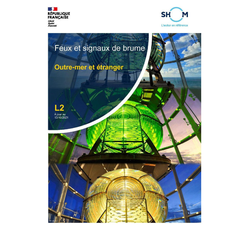



Shom - L2-FNC - Feux et signaux : Outre-mer et étranger
search
  • googlemap
  • Shom - L2-FNC - Feux et signaux : Outre-mer et étranger

Shom - L2-FNC - Feux et signaux : Outre-mer et étranger

€59.05
Tax included
Shom - Service Hydrographique et Océanographique de la Marine
Chart or book in digital version In French language
Book programmed to order
Estimated preparation time: 0 to 3 days

Navigate overseas waters safely with this digital guide to maritime lights and fog signals. Covers key data like charts and abbreviations, with 12-month access and updates for 5 devices.

shom-L2-FNC

Data sheet

Who is the publisher or the author?
Shom
On what digital medium is this nautical chart / book stored?
digital medium
download
From which year does this nautical chart date?
2021
What type of navigation book is this?
guide to fog lights and signals
Picto
Chart or book in digital version
In French language

Specific References

UPC
400000135496
EAN13
4000000181590
New
Book programmed to order
Description détaillée

Lights and Signals: Overseas and Foreign Waters – Digital Guide

Publication in French
Digital version

Your Essential Digital Companion for Maritime Navigation

Navigate overseas and foreign waters with confidence using this comprehensive digital guide to maritime lights and fog signals. Designed for professionals in the merchant marine, this resource provides critical data on lighthouses, buoys, and other navigational aids—both onshore and floating—across international and overseas zones. Whether you're charting a course through the Atlantic, the Caribbean, or the Pacific, this guide ensures you have the most accurate and up-to-date information at your fingertips.

Optimized for Digital Use

This digital guide is delivered in PDF format, offering instant access via download link, compressed file, or transfer tools like WeTransfer. With a license valid for up to 5 workstations, it’s ideal for crews, maritime offices, and training centers. Updates are automatically provided for one year, ensuring your data remains current without additional costs. Say goodbye to bulky printed manuals—this digital solution is lightweight, portable, and always within reach on your devices.

Structured for Efficiency

Organized for quick reference, the guide includes:

  • A list of abbreviations and symbols to decode maritime signals effortlessly.
  • A geographical table of lights, allowing you to locate navigational aids by region.
  • A concordance table linking international and French numbering systems for seamless cross-referencing.
  • Index maps and alphabetical indexes for rapid access to specific locations or features.
  • Illustrations and data tables that clarify complex information at a glance.

Global Coverage for International Waters

This guide covers a vast range of regions, including but not limited to:

  • The Northeast Atlantic, from Ireland to the Strait of Gibraltar.
  • The English Channel and Southern North Sea, critical for European maritime routes.
  • Overseas territories such as the French Caribbean, French Guiana, and the Pacific islands.
  • Foreign waters, including parts of Africa, South America, and the Indian Ocean.

With precise latitude and longitude coordinates, you can pinpoint navigational aids with accuracy, reducing the risk of errors in route planning.

Designed for Maritime Professionals

This guide is tailored for those who rely on precision and reliability. Whether you're a captain, navigator, or maritime safety officer, it provides the tools you need to:

  • Plan safe and efficient routes through unfamiliar waters.
  • Identify and interpret maritime signals quickly, even in low-visibility conditions.
  • Stay compliant with international maritime regulations.
  • Access critical data without internet connectivity, thanks to offline availability.

Sustainable and Cost-Effective

By opting for this digital guide, you’re choosing a sustainable alternative to printed materials. Updates are delivered automatically during the first year, eliminating the need for costly reprints. Plus, the digital format reduces waste and ensures you always have the latest version without delays.

Why This Guide Stands Out

Unlike generic navigational resources, this guide is curated by experts in hydrography and oceanography, ensuring the highest level of accuracy and relevance. It’s not just a collection of data—it’s a tool designed to enhance safety, efficiency, and decision-making at sea. Whether you're navigating commercial routes, conducting maritime operations, or training future navigators, this guide is an indispensable part of your toolkit.

Master Overseas and Foreign Waters with the Ultimate Digital Guide to Maritime Lights and Signals
Navigating international and overseas waters demands precision, and this digital guide delivers exactly that. Tailored for maritime professionals, it provides a comprehensive overview of lighthouses, buoys, and fog signals across critical regions, from the Atlantic to the Pacific. With coverage spanning the Northeast Atlantic (from Ireland to the Strait of Gibraltar), the English Channel, the Southern North Sea, and overseas territories, this guide ensures you have the most accurate and up-to-date information for safe and efficient navigation.

Instant Access to Critical Data
Delivered in PDF format, this digital guide is accessible via download link, compressed file, or transfer tools like WeTransfer, ensuring you can start using it immediately. Licensed for up to 5 workstations, it’s perfect for crews, maritime offices, and training centers. Updates are automatically provided for one year, guaranteeing that your data remains current without additional costs. No more waiting for printed updates—this digital solution keeps you ahead of the curve.

Structured for Speed and Accuracy
This guide is designed for efficiency, featuring a clear and logical structure that allows for quick reference. It includes a list of abbreviations and symbols to decode maritime signals effortlessly, a geographical table of lights for locating navigational aids by region, and a concordance table linking international and French numbering systems. Index maps and alphabetical indexes further streamline your search, while illustrations and data tables provide visual clarity for complex information.

Global Coverage for Unmatched Versatility
From the bustling shipping lanes of the English Channel to the remote waters of the Pacific, this guide covers a vast array of regions. It includes detailed information for overseas territories such as the French Caribbean, French Guiana, and Pacific islands, as well as foreign waters in Africa, South America, and the Indian Ocean. With precise latitude and longitude coordinates, you can pinpoint navigational aids with confidence, reducing the risk of errors in route planning and execution.

Built for Maritime Professionals
This guide is more than just a collection of data—it’s a tool designed to enhance safety, efficiency, and compliance. Whether you're a captain plotting a course through unfamiliar waters, a navigator interpreting signals in low-visibility conditions, or a maritime safety officer ensuring regulatory compliance, this guide provides the critical information you need. It’s also an invaluable resource for training future navigators, offering a reliable reference for both classroom and onboard use.

This digital guide is available in PDF format, ensuring compatibility with most devices and offline access. It is updated to GAN 2619 standards, with the current edition released on May 6, 2026, and valid for 365 days. The download period extends for 12 months from the date of purchase, and updates are provided free of charge for one year. Licensed for use on up to 5 workstations, it covers a wide range of regions, including the Northeast Atlantic, the English Channel, the Southern North Sea, and overseas territories. The guide includes detailed tables, indexes, and maps, all designed to provide quick and accurate access to navigational data.

With a legacy rooted in hydrography and oceanography, this publisher is a trusted name in maritime navigation. Specializing in accurate, reliable, and up-to-date navigational resources, their expertise ensures that professionals have access to the most critical data for safe and efficient voyages. Their digital guides are designed to meet the evolving needs of the maritime industry, combining technical precision with practical usability.

  • Instant Access: Delivered digitally, it’s available for immediate download and use, eliminating shipping delays.
  • Global Coverage: Provides detailed information for overseas and foreign waters, ensuring you’re prepared for any route.
  • Automatic Updates: Free updates for one year keep your data current without additional costs.
  • Multi-Device Licensing: Valid for up to 5 workstations, making it ideal for crews and maritime offices.
  • Structured for Efficiency: Includes tables, indexes, and maps for quick and accurate reference.
  • Offline Availability: Access critical data even without an internet connection, ensuring reliability in remote locations.
  • Sustainable Choice: Reduces waste by eliminating the need for printed materials.
What geographic areas are covered by this guide?

The guide covers overseas and foreign zones, including the Northeast Atlantic (from Ireland to the Strait of Gibraltar), the English Channel, the southern North Sea, and specific overseas territories.

How many devices can I use this digital guide on?

The digital guide is limited to 5 computer workstations per purchase. Additional licenses are required for more devices.

How long do I have access to updates after purchasing?

You receive free updates for one year from the date of purchase. After this period, updates are no longer provided.

What is the download period for the digital guide?

You have 12 months from the date of purchase to download the guide.

What type of content is included in the guide?

The guide includes a list of abbreviations and symbols, a table of lights by geographic order, a concordance table of international and French numbers, index maps, and alphabetical indexes.

Is the guide available in a physical format?

No, the guide is available exclusively in digital format, typically as a PDF file.

How is the digital guide delivered?

The guide is delivered via a download link, compressed file, or a transfer tool like WeTransfer.

Loading...