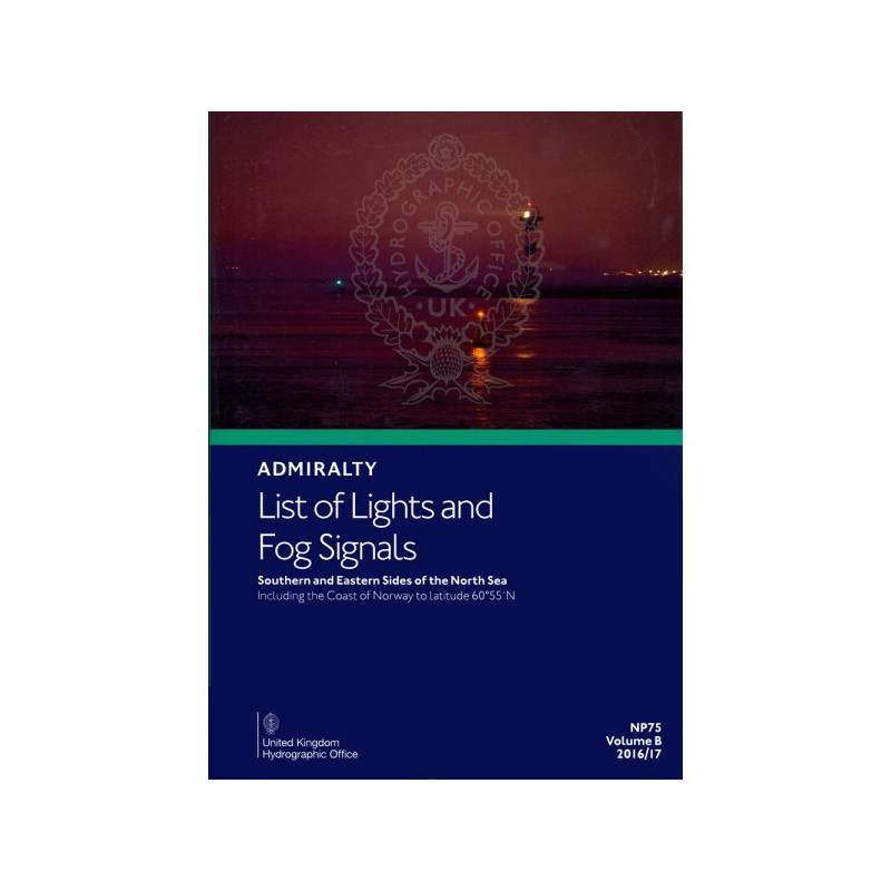


Admiralty - NP075 - List of Lights and Fog Signals - South and East sides of North Sea
search
  • googlemap
  • Admiralty - NP075 - List of Lights and Fog Signals - South and East sides of North Sea

Admiralty - NP075 - List of Lights and Fog Signals - South and East sides of North Sea

€85.25
Tax included
Admiralty - United Kingdom Hydrographic Office
In English language
Estimated preparation time: 5 to 14 days

This guide covers lighthouses, lightships, and fog signals along the southern and eastern North Sea. Includes coordinates, light characteristics, and visibility ranges for safe navigation.

NP075

Data sheet

Who is the publisher or the author?
Admiralty
On what digital medium is this nautical chart / book stored?
paper medium
From which year does this nautical chart date?
2016 / 2017
What type of navigation book is this?
guide to fog lights and signals
What is the size?
paper medium
Picto
In English language

Specific References

UPC
400000133911
EAN13
4000000107491
New
Description détaillée

List of Lights and Fog Signals – South and East Sides of the North Sea

Publication in English
Printed version

Critical Navigation Aid for Maritime Professionals

Navigate the challenging waters of the North Sea with confidence. This authoritative publication delivers comprehensive, up-to-date information on all lighthouses, lightships, illuminated floating marks (over 8 meters in height), fog signals, and other significant navigation lights along the southern and eastern coasts of the North Sea. Covering Norway’s coastline up to latitude 60°55'N, it is an indispensable tool for merchant marine professionals, ensuring safe and efficient voyages in one of the world’s busiest maritime regions.

Precision and Reliability for Safe Navigation

Every entry in this guide is meticulously detailed to support accurate navigation. You’ll find key data such as light characteristics, equivalent descriptions in foreign languages, precise geographic coordinates, light intensity, elevation in meters, and nominal range in nautical miles. The publication also includes structural descriptions of each aid to navigation, allowing mariners to identify landmarks with certainty. Additionally, tables for calculating geographic and luminous ranges empower crews to make informed decisions, even in low-visibility conditions.

Designed for the Demands of Commercial Shipping

Tailored for the merchant marine industry, this publication is built to withstand the rigors of life at sea. Its durable printed format ensures quick access to critical information without reliance on digital systems, which can be vulnerable to technical failures or connectivity issues. Updated annually and aligned with Admiralty Notices to Mariners, it guarantees that mariners always have the most current data at their fingertips, reducing risks and enhancing operational efficiency.

Comprehensive Coverage of a High-Traffic Maritime Zone

The North Sea is a vital artery for global trade, connecting major ports in Europe and beyond. This volume provides unparalleled coverage of the region’s aids to navigation, including those in Norway, the Netherlands, Germany, Denmark, and the United Kingdom. Whether navigating near busy shipping lanes, shallow waters, or complex coastal features, this guide equips mariners with the knowledge needed to avoid hazards and maintain safe passage.

Seamless Integration with Maritime Operations

As part of a series of 11 volumes, this publication is designed to complement other Admiralty navigation tools, offering a cohesive and standardized approach to maritime safety. Each entry includes an international number, place names, and consistent formatting, making it easy to cross-reference with charts and other navigational resources. The inclusion of fog signal details further enhances its utility, ensuring crews are prepared for all weather conditions.

Trusted by Mariners Worldwide

For generations, this publication has been a cornerstone of maritime navigation, relied upon by captains, officers, and navigators for its accuracy and comprehensiveness. Its annual updates reflect the latest changes in aids to navigation, ensuring that mariners can trust the data when it matters most. Whether used for voyage planning, real-time navigation, or emergency preparedness, this guide is an essential companion for anyone operating in the North Sea.

Navigate the North Sea with Unmatched Precision
This essential maritime guide is your definitive resource for navigating the southern and eastern coasts of the North Sea, one of the world’s most critical shipping regions. Designed for merchant marine professionals, it provides exhaustive details on all lighthouses, lightships, illuminated floating marks over 8 meters in height, fog signals, and other key navigation lights. Covering Norway’s coastline up to latitude 60°55'N, this publication ensures you have the most accurate and up-to-date information to navigate safely and efficiently.

Engineered for Accuracy and Reliability
Every entry in this guide is crafted to deliver precision. You’ll find light characteristics, foreign language equivalents, geographic coordinates, light intensity, elevation in meters, and nominal range in nautical miles. Structural descriptions of each aid to navigation enable quick and confident identification, while tables for calculating geographic and luminous ranges help you make informed decisions in any visibility. This level of detail is critical for avoiding hazards and maintaining safe passage in high-traffic areas.

Built for the Demands of Commercial Shipping
This printed publication is designed to meet the rigorous needs of the merchant marine industry. Its durable format ensures instant access to vital information, even in environments where digital systems may fail. Updated annually and synchronized with Admiralty Notices to Mariners, it guarantees that you always have the latest data, reducing risks and enhancing operational efficiency. Whether you’re navigating near busy ports or remote coastal areas, this guide is an indispensable tool for safe and effective voyage planning.

Comprehensive Coverage of a Vital Maritime Region
The North Sea is a hub of global trade, connecting major European ports and serving as a gateway to the Atlantic. This volume offers unparalleled coverage of the region’s aids to navigation, including those along the coasts of Norway, the Netherlands, Germany, Denmark, and the United Kingdom. With detailed entries for every significant light and fog signal, it equips mariners with the knowledge needed to navigate complex waters, avoid hazards, and ensure timely arrivals.

Trusted by Professionals Worldwide
For decades, this publication has been a trusted resource for mariners, offering consistent, standardized data that integrates seamlessly with other navigation tools. As part of a series of 11 volumes, it provides a cohesive approach to maritime safety, ensuring that crews can rely on accurate information in all conditions. Whether used for voyage planning, real-time navigation, or emergency preparedness, this guide is an essential companion for anyone operating in the North Sea.

This printed navigation guide delivers comprehensive coverage of aids to navigation along the southern and eastern sides of the North Sea, including Norway’s coastline up to latitude 60°55'N. It details lighthouses, lightships, illuminated floating marks over 8 meters in height, and fog signals, with precise data on light characteristics, geographic coordinates, elevation, and nominal range. Updated annually, the 2025 edition (6th edition) weighs 1.9 kg and is published in English, ensuring mariners have the most current and reliable information for safe navigation.

With a legacy spanning over two centuries, this publisher is a global leader in maritime navigation, providing authoritative and trusted resources for mariners worldwide. Renowned for its precision, reliability, and commitment to safety, its publications are the gold standard for commercial shipping, naval operations, and recreational boating. Each guide is meticulously updated to reflect the latest navigational data, ensuring professionals have the tools they need to navigate with confidence.

  • This navigation guide offers unparalleled accuracy and reliability, providing mariners with up-to-date details on all critical aids to navigation in the North Sea.
  • Its durable printed format ensures instant access to vital information, even in challenging conditions, while annual updates guarantee the latest data.
  • Designed for merchant marine professionals, it enhances safety, efficiency, and confidence in one of the world’s busiest maritime regions.
What is the coverage area for this publication?

It covers the south and east sides of the North Sea, including the coast of Norway up to latitude 60°55'N.

Does this guide include information on fog signals?

Yes, it provides detailed information on fog signals along with other navigational lights.

What are the dimensions or weight of this paper version?

The paper version weighs approximately 1.9 kg.

How often is this publication updated?

It is an annual edition, updated via Notices to Mariners.

Are foreign language descriptions included for navigational aids?

Yes, it includes equivalent descriptions in foreign languages for lights and signals.

What is the latest edition available?

The latest edition is the 6th edition for 2025.

Can I calculate the geographical and luminous range of lights using this guide?

Yes, it includes tables to calculate both geographical and luminous ranges of lights.

Loading...