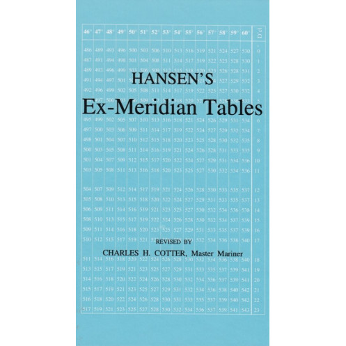



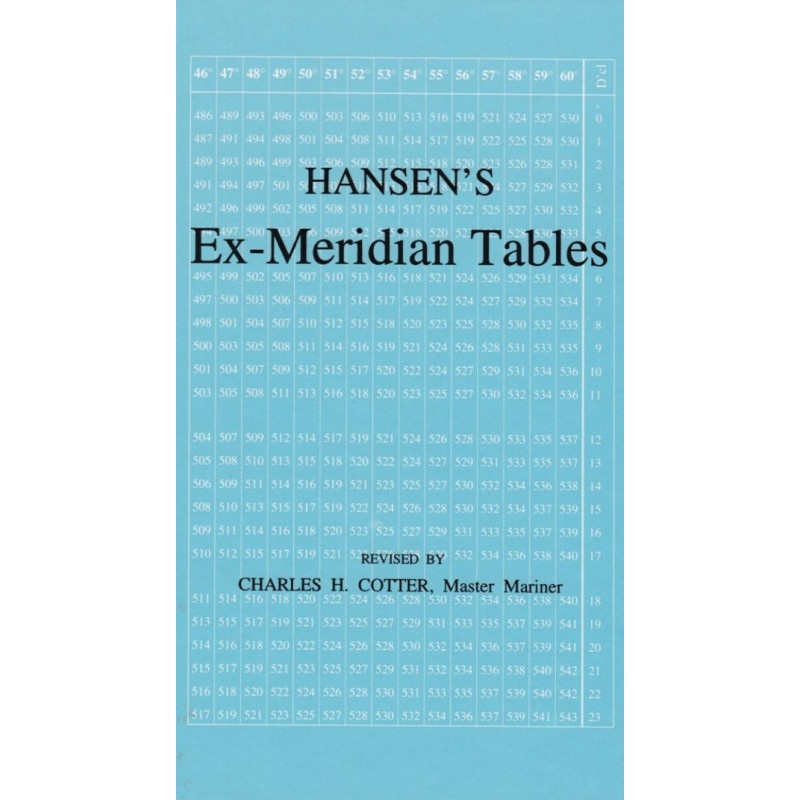
Accurate and reliable, these ex-meridian tables streamline celestial navigation by eliminating interpolation. Ideal for latitudes 60°N to 60°S, perfect for traditional navigators.
Data sheet
Specific References
Master Latitude Calculations with Time-Tested Celestial Navigation Tables
Hansen’s Improved Ex-Meridian Tables offer a proven solution for determining a vessel’s latitude at sea using ex-meridian observations of celestial bodies. First introduced in 1919 and refined through decades of use, these tables provide a straightforward, interpolation-free method for calculating latitude from the sun, moon, stars, or planets—even when observations are taken near the meridian. Designed for professionals who demand accuracy without unnecessary complexity, this resource remains a critical tool for navigators who value redundancy and precision in their operations.
Built for Real-World Maritime Conditions
Engineered to cover latitudes from 60° N to 60° S and declinations up to 23°, these tables are optimized for practical use in global waters. By utilizing local hour angle in arc rather than time, they simplify calculations, reducing the potential for errors during high-stakes navigation. The compact, 144-page volume is built to withstand the rigors of life at sea, with dimensions of 185 x 120 x 12 mm and a durable binding that ensures longevity in challenging environments.
A Legacy of Reliability in Celestial Navigation
While modern navigation systems have revolutionized maritime operations, these tables continue to serve as a trusted backup for professionals who prioritize preparedness. Updated as recently as 2023, they bridge the gap between traditional and contemporary navigation methods, offering a fail-safe solution when technology fails. Whether used for emergency navigation, training, or historical interest, this edition ensures that the principles of celestial navigation remain accessible and actionable for shipmasters, officers, and enthusiasts alike.
This edition of Hansen’s Improved Ex-Meridian Tables, revised in 2023, features a 144-page paperback format with dimensions of 185 x 120 x 12 mm and a weight of 1.5 kg. It covers latitudes from 60° N to 60° S and declinations up to 23°, applicable to the moon, stars, and planets, and simplifies calculations by using local hour angle in arc.
For over a century, this publisher has been a leading authority in maritime literature, specializing in navigation, seamanship, and celestial reference materials. Their publications are trusted by professionals worldwide for their accuracy, durability, and practicality, ensuring that critical knowledge remains accessible to mariners in all conditions.
The tables cover latitudes from 60° North to 60° South, making them suitable for global navigation.
Yes, the tables support observations for the moon, stars, or planets with declinations up to 23°.
No, the tables are designed to simplify calculations without the need for interpolation.
The book weighs 1.5 kg, making it portable yet durable for onboard use.
While primarily used as a backup, they remain a reliable tool for ex-meridian observations near the meridian.
The book measures 185 x 120 x 12 mm, fitting easily into navigation kits or bags.
The book includes 144 pages of detailed ex-meridian tables and references.
You might also like









![Admiralty - NP303(1) - Rapid Sight Reduction Tables Volume 1, Selected Stars [Epoch 2020]](https://www.nautic-way.com/86054-home_default/admiralty-np3031-rapid-sight-reduction-tables-volume-1-selected-stars-epoch-2020-maritime-bookshop-nautic-way.jpg)