


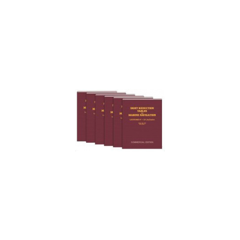
Precision matters in marine navigation. These tables provide exact altitude and azimuth calculations for latitudes 15°–30°, ensuring dependable results for celestial navigation in both hemispheres.
Data sheet
Specific References
Precision Navigation for Professional Mariners
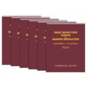
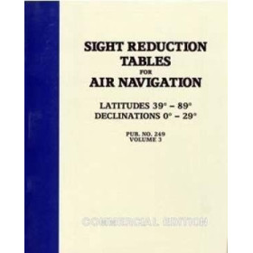
Sight Reduction Tables for Marine Navigation Volume 2 is an indispensable resource for merchant marine professionals who rely on celestial navigation. This volume, part of a six-book series, provides accurate sight reduction calculations for latitudes between 15° and 30°, ensuring precise position fixing in both the Northern and Southern Hemispheres. Whether navigating open oceans or coastal waters, these tables deliver the mathematical reliability needed to determine altitude and azimuth using the Saint-Hilaire method, a trusted technique in maritime navigation.
Engineered for Accuracy and Longevity
Unlike ephemerides that require frequent updates, the data in these tables is based on pure mathematical calculations, guaranteeing permanent validity. This means mariners can depend on Volume 2 for decades without worrying about obsolescence. The tables are derived from the official U.S. government publications by the Defense Mapping Agency, ensuring they meet the highest standards of precision. With a focus on usability, the paperback edition is designed to withstand the demands of onboard use, featuring a durable 8.5" x 11" format that fits seamlessly into any navigation station.
Optimized for Efficiency in Maritime Operations
Time is critical at sea, and these tables are structured to minimize calculation errors while maximizing speed. The clear, tabular layout allows navigators to quickly extract the necessary data for sight reduction, reducing the risk of human error. Weighing just 1.5 kg, this volume is lightweight yet comprehensive, covering all essential calculations for its designated latitude range. Whether used as a primary or backup navigation tool, it ensures mariners can confidently plot their course, even when electronic systems fail.
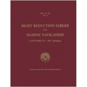
This volume of the Sight Reduction Tables for Marine Navigation covers latitudes from 15° to 30°, providing essential data for celestial navigation in both hemispheres. Part of a six-volume series, it is published in a durable paperback format measuring 8.5" x 11" and weighs 1.5 kg. The tables are based on the official HO-229 reference, ensuring mathematical precision and permanent validity for professional use.
With decades of experience in providing high-quality navigation tools, this publisher specializes in delivering reliable and accurate resources for maritime professionals. Their commercial editions of official navigation tables are trusted by mariners worldwide, ensuring compliance with international standards while offering practical, user-friendly formats.
This volume covers latitudes from 15° to 30°, suitable for use in both the Northern and Southern Hemispheres.
Yes, the tables are designed for use in either hemisphere within the specified latitude range.
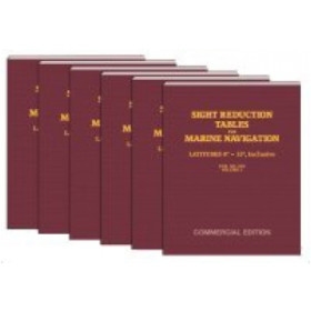
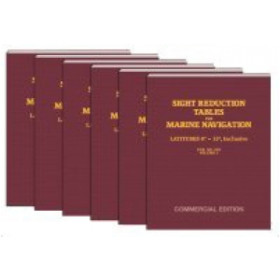
The complete set consists of six volumes, each covering different latitude ranges.
No, the tabular data is based on pure mathematical calculations and remains permanently valid without expiration.
The book measures approximately 8.5 inches by 11 inches, in a paperback format.
This volume covers latitudes from 15° to 30° only. For global navigation, you may need additional volumes from the set to cover other latitude ranges.
You might also like











![Admiralty - NP303(1) - Rapid Sight Reduction Tables Volume 1, Selected Stars [Epoch 2020]](https://www.nautic-way.com/86054-home_default/admiralty-np3031-rapid-sight-reduction-tables-volume-1-selected-stars-epoch-2020-maritime-bookshop-nautic-way.jpg)