


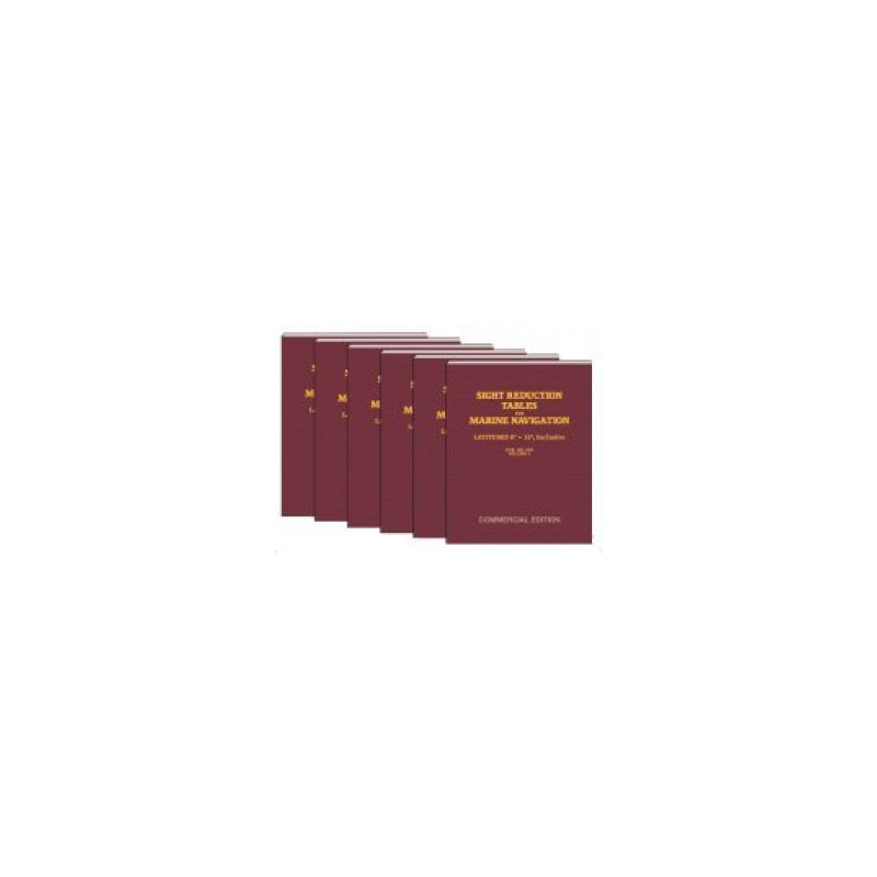
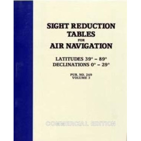
Navigate with confidence using these sight reduction tables for latitudes 0° to 15°. Reliable, accurate, and indispensable for celestial navigation in both hemispheres.
Data sheet
Specific References
Master the art of celestial navigation with the Sight Reduction Tables for Marine Navigation Volume 1, a cornerstone reference for mariners navigating the world’s oceans. Designed for precision and reliability, this volume provides critical data for calculating positions using the intercept method (Saint-Hilaire), ensuring accurate navigation in both the Northern and Southern Hemispheres. Covering latitudes from 0° to 15°, it is an indispensable resource for professional seafarers, offshore navigators, and maritime training programs.
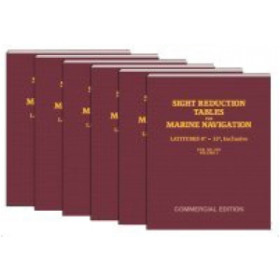
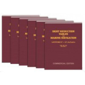
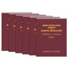
Developed by the National Imagery and Mapping Agency (NIMA) and published in a commercial paperback format, this volume delivers permanent validity for all celestial bodies and declinations. Its standardized layout simplifies the process of determining altitude and azimuth by entering key arguments: latitude, declination, and local hour angle. The tables are organized into six volumes, each tailored to specific latitude ranges, allowing navigators to select only the volumes relevant to their voyage. This streamlined approach reduces bulk while maximizing efficiency at sea.
Tailored for the demands of commercial shipping, offshore operations, and maritime education, this publication adheres to the highest standards of navigational accuracy. The 8.5" x 11" paperback format ensures easy handling and storage on board, while its clear, concise tables minimize the risk of calculation errors. Whether used for routine position fixes or emergency navigation, these tables provide the confidence and precision required for safe and efficient maritime operations.
Recognized worldwide as a trusted resource, the Sight Reduction Tables for Marine Navigation series is a staple in the toolkit of professional mariners. Volume 1, covering the equatorial and tropical latitudes, is particularly valuable for voyages in low-latitude regions, where celestial navigation remains a critical backup to electronic systems. By relying on these tables, navigators ensure compliance with international maritime standards while maintaining the skills essential for traditional navigation techniques.
Precision Navigation for Professional Mariners
Navigate with confidence using the Sight Reduction Tables for Marine Navigation Volume 1, a vital resource for celestial navigation in low-latitude regions. Designed for professional use, this volume provides accurate altitude and azimuth calculations for latitudes ranging from 0° to 15°, making it indispensable for commercial shipping, offshore operations, and maritime training. Built on the proven intercept method (Saint-Hilaire), these tables ensure reliable position fixes in both the Northern and Southern Hemispheres, offering a critical backup to electronic navigation systems.
Trusted Data for Safe and Efficient Voyages
Published by the National Imagery and Mapping Agency (NIMA), this volume is part of a six-volume series, each tailored to specific latitude ranges. The tables deliver permanent validity for all celestial bodies and declinations, eliminating the need for frequent updates. With a clear, standardized layout, navigators can quickly determine their position by entering latitude, declination, and local hour angle, reducing the risk of errors during critical operations. The 8.5" x 11" paperback format ensures durability and ease of use on board, while its lightweight design (1.5 kg) makes it practical for long voyages.
Essential for Maritime Compliance and Training
Adopted as a global standard for celestial navigation, these tables are a must-have for mariners seeking to maintain compliance with international maritime regulations. Whether used for routine position fixes or emergency scenarios, Volume 1 provides the precision and reliability required for safe navigation in equatorial and tropical waters. Its commercial edition ensures accessibility for professionals, while its focus on low latitudes makes it particularly valuable for voyages in regions where traditional navigation techniques remain essential.
The Sight Reduction Tables for Marine Navigation Volume 1 offers a robust solution for celestial navigation, featuring a latitude range of 0° to 15° for both hemispheres. Published in a durable paperback format (8.5" x 11"), this volume is part of a six-volume series, each designed for specific latitude bands. Weighing 1.5 kg, it provides permanent validity for all celestial bodies and declinations, ensuring long-term reliability without the need for updates.
With decades of expertise in maritime navigation tools, the publisher behind this essential reference has established itself as a leader in providing high-precision resources for professional mariners. Their publications are trusted worldwide for their accuracy, durability, and adherence to international standards, making them a go-to choice for commercial shipping, offshore operations, and maritime training programs.
This volume covers latitudes from 0° to 15°, suitable for use in both the Northern and Southern Hemispheres.
Yes, the tables provide permanent validity for all celestial bodies and declinations with high precision.
The tables use the intercept (Saint-Hilaire) method, requiring inputs of latitude, declination, and local hour angle to determine altitude and azimuth.
No, only the volumes corresponding to your anticipated latitudes are necessary for navigation.
The book measures 8.5 inches by 11 inches, making it a standard size for navigation tables.
The tables are published by the National Imagery and Mapping Agency (NIMA) and are part of a 6-volume set.
You might also like











![Admiralty - NP303(1) - Rapid Sight Reduction Tables Volume 1, Selected Stars [Epoch 2020]](https://www.nautic-way.com/86054-home_default/admiralty-np3031-rapid-sight-reduction-tables-volume-1-selected-stars-epoch-2020-maritime-bookshop-nautic-way.jpg)