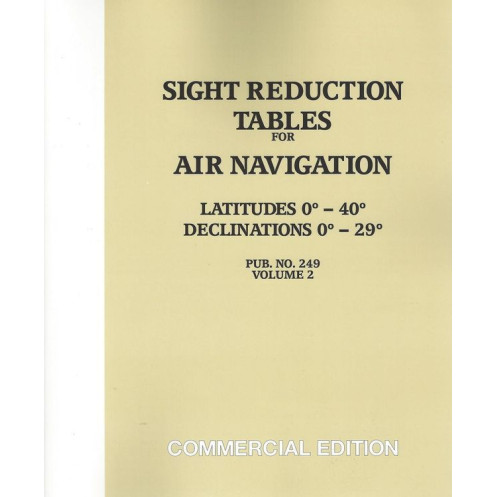



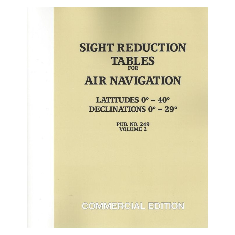
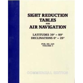
Designed for air and marine navigation, these tables cover latitudes 0°-40° and declinations 0°-29°. Lightweight and precise, they streamline celestial sight reductions for quick calculations.
Data sheet
Specific References
Master celestial navigation with the definitive reference for aviators and mariners. This volume delivers unparalleled accuracy and efficiency, designed to meet the demands of professional navigation where every second counts. Whether charting courses at sea or in the skies, these tables provide the critical data needed for swift and reliable sight reduction, ensuring you stay on course with confidence.
Originally engineered for aviation, where weight and space are at a premium, these tables have become a staple for mariners seeking a streamlined solution. The Volume 2 edition covers latitudes from 0° to 40° (North or South) and declinations from 0° to 29° (North or South), encompassing the Sun, Moon, planets, and key stars within this range. This compact yet comprehensive resource condenses the essential data of six volumes into a single, easy-to-use reference, making it an indispensable tool for professionals who demand both precision and practicality.
Time is critical in navigation, and this publication is built to deliver rapid results. The tables are structured for quick access to celestial data, allowing navigators to reduce observations efficiently without sacrificing accuracy. Valid for an eight-year period centered on the epoch date, this volume ensures long-term usability, reducing the need for frequent updates. Its lightweight, paperback format makes it ideal for use in confined spaces, whether on the bridge of a ship or in the cockpit of an aircraft.
Developed by the National Geospatial-Intelligence Agency, this publication upholds the highest standards of accuracy and reliability. It simplifies the complex calculations required for celestial navigation, providing clear, concise data that professionals can trust. Whether you're navigating the open ocean or plotting a course through the skies, this volume is designed to support your mission with unwavering precision.
Elevate your navigation with the ultimate tool for celestial precision
When accuracy and efficiency are non-negotiable, the *Sight Reduction Tables for Air Navigation Volume 2* stands as the gold standard for professionals in marine and aerial navigation. This meticulously crafted publication is engineered to deliver rapid, reliable sight reduction, ensuring you can plot your course with confidence in any environment. Designed for those who demand excellence, it bridges the gap between aviation and maritime navigation, offering a compact yet comprehensive solution for celestial observations.
Engineered for professionals, trusted by experts
Originally developed for aviation, where every ounce and inch of space matters, this volume has earned its place as an essential resource for mariners. Covering latitudes from 0° to 40° (North or South) and declinations from 0° to 29° (North or South), it provides critical data for the Sun, Moon, planets, and key stars. This streamlined reference condenses the equivalent of six volumes into a single, easy-to-navigate publication, making it ideal for professionals who need quick access to accurate celestial data without the bulk.
Built for speed, designed for durability
Time is of the essence in navigation, and this volume is optimized for rapid calculations. The tables are structured to minimize complexity, allowing you to reduce observations swiftly and accurately. Valid for an eight-year period centered on the epoch date, it ensures long-term reliability, reducing the need for frequent updates. Weighing just 1.5 kg and presented in a durable paperback format, it’s designed to withstand the rigors of both marine and aerial environments, making it a dependable companion for any mission.
Precision you can rely on, backed by authority
Published by the National Geospatial-Intelligence Agency, this volume upholds the highest standards of accuracy and trustworthiness. It simplifies the intricate calculations required for celestial navigation, providing clear, concise data that professionals can depend on. Whether you're navigating the open seas or plotting a course through the skies, this publication is engineered to support your operations with unwavering precision and efficiency.
This volume of the *Sight Reduction Tables for Air Navigation* covers latitudes from 0° to 40° (North or South) and declinations from 0° to 29° (North or South), providing essential data for the Sun, Moon, planets, and key stars. Designed for rapid sight reduction, it condenses the equivalent of six volumes into a single, lightweight paperback edition, weighing just 1.5 kg. Valid for an eight-year period centered on the epoch date, it ensures long-term usability for both marine and aerial navigation.
With a legacy of providing high-precision navigation tools, this publisher is recognized for delivering reliable and authoritative resources for professionals in aviation and maritime industries. Their publications are trusted by experts worldwide for their accuracy, durability, and practical design, making them a cornerstone in the field of celestial navigation.
The tables are applicable for a period of 8 years centered on the epoch date, ensuring accurate celestial navigation within that timeframe.
Yes, the tables cover latitudes from 0° to 40° for both northern and southern hemispheres.
The volume includes data for the Sun, Moon, planets, and the principal stars within the specified declination range of 0° to 29° north or south.
Yes, while designed for air navigation, its compact and efficient format makes it popular among marine navigators.
This volume is a simplified and condensed version of the 6-volume tables 229, offering quick and efficient sight reduction in a single book.
The volume weighs approximately 1.5 kg, optimized for portability and ease of use.
Yes, both a paperback and an e-Book version are available for this volume.
You might also like












![Admiralty - NP303(1) - Rapid Sight Reduction Tables Volume 1, Selected Stars [Epoch 2020]](https://www.nautic-way.com/86054-home_default/admiralty-np3031-rapid-sight-reduction-tables-volume-1-selected-stars-epoch-2020-maritime-bookshop-nautic-way.jpg)