


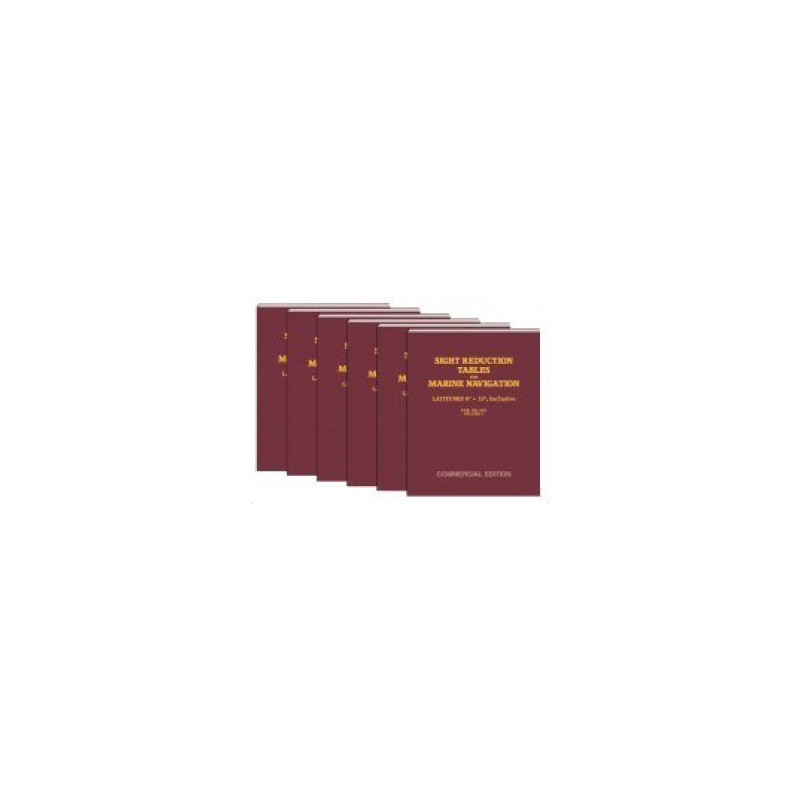
Precomputed sight reduction tables for latitudes 45° to 60°, delivering precise altitudes and azimuths for celestial navigation. Reliable, permanent, and compatible with all celestial bodies.
Data sheet
Specific References
Master Celestial Navigation with Unmatched Accuracy
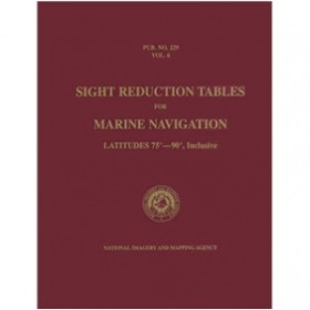
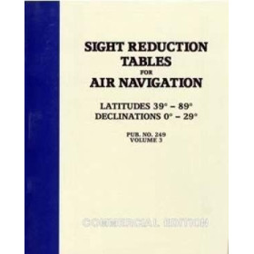
When precision is non-negotiable, the *Sight Reduction Tables for Marine Navigation Volume 4* delivers the trusted data maritime professionals rely on. This official U.S. government-approved publication provides precomputed altitude and azimuth values for latitudes 45° to 60°, eliminating the need for complex calculations and reducing the risk of human error. Whether you're navigating polar routes, transoceanic crossings, or coastal waters, these tables ensure your celestial observations translate into reliable position fixes—every time.
Engineered for Speed and Reliability
Built on the Saint-Hilaire method, these tables offer mathematically pure data that remains valid for any celestial body, regardless of declination. With 394 pages of meticulously organized values, navigators can quickly cross-reference observations without relying on electronic systems. The lightweight 1.5 kg paperback is designed for durability, resisting wear in harsh marine environments while maintaining clarity in high-pressure situations. Its tabular format minimizes misinterpretation, making it an indispensable tool for watchkeeping, emergency navigation, and training.
Tailored for Professional Use
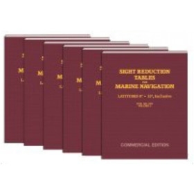
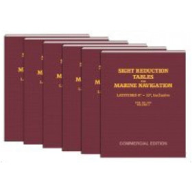
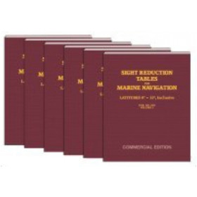
Part of a six-volume series, this edition focuses exclusively on the 45°–60° latitude band, ensuring you carry only the data you need. Published in 2007 by the National Imagery and Mapping Agency (NIMA), it adheres to the highest standards of accuracy, making it a staple in commercial shipping, offshore operations, and naval training. Whether used as a primary resource or a backup to GPS, these tables provide the confidence to navigate with precision—no matter the conditions.
This volume of the *Sight Reduction Tables for Marine Navigation* covers latitudes 45° to 60° for both northern and southern hemispheres, with 394 pages of precomputed altitude and azimuth values. Weighing 1.5 kg, the paperback edition is lightweight yet durable, designed for onboard use. Part of a six-volume series, it was published in 2007 and remains the official U.S. government-approved reference for celestial navigation.
With decades of expertise in maritime navigation, the publisher behind these tables is a trusted name in professional-grade nautical resources. Specializing in tools for celestial navigation, their publications are developed in collaboration with government agencies and industry leaders, ensuring accuracy and reliability for commercial and military applications worldwide.
This volume covers latitudes from 45° to 60°, for both the Northern and Southern Hemispheres.
Yes, the tabular data is valid for all celestial bodies and declinations, providing precise precomputed altitudes and azimuths.
This volume contains 394 pages of precomputed navigational data.
Only the volume corresponding to your planned latitudes is necessary. This volume covers 45° to 60°, so additional volumes are needed for other latitudes.
The book weighs approximately 1.5 kg.
Yes, this publication is available in both paperback and e-Book formats.
Yes, these are the official U.S. tables published by the National Imagery and Mapping Agency (NIMA).
You might also like











![Admiralty - NP303(1) - Rapid Sight Reduction Tables Volume 1, Selected Stars [Epoch 2020]](https://www.nautic-way.com/86054-home_default/admiralty-np3031-rapid-sight-reduction-tables-volume-1-selected-stars-epoch-2020-maritime-bookshop-nautic-way.jpg)