


Navigate with confidence using sight reduction tables for latitudes 30° to 45°. Ideal for celestial navigation, these standardized tables ensure accuracy for all stars and declinations.
Data sheet
Specific References
Master the art of celestial navigation with the Sight Reduction Tables for Marine Navigation Volume 3, a critical resource for mariners operating between latitudes 30° and 45°. Designed for precision and reliability, these tables simplify the calculation of celestial lines of position using the Saint-Hilaire method, ensuring accurate navigation regardless of the celestial body or declination. Whether navigating in the Northern or Southern Hemisphere, this volume provides the data needed to plot courses with confidence.
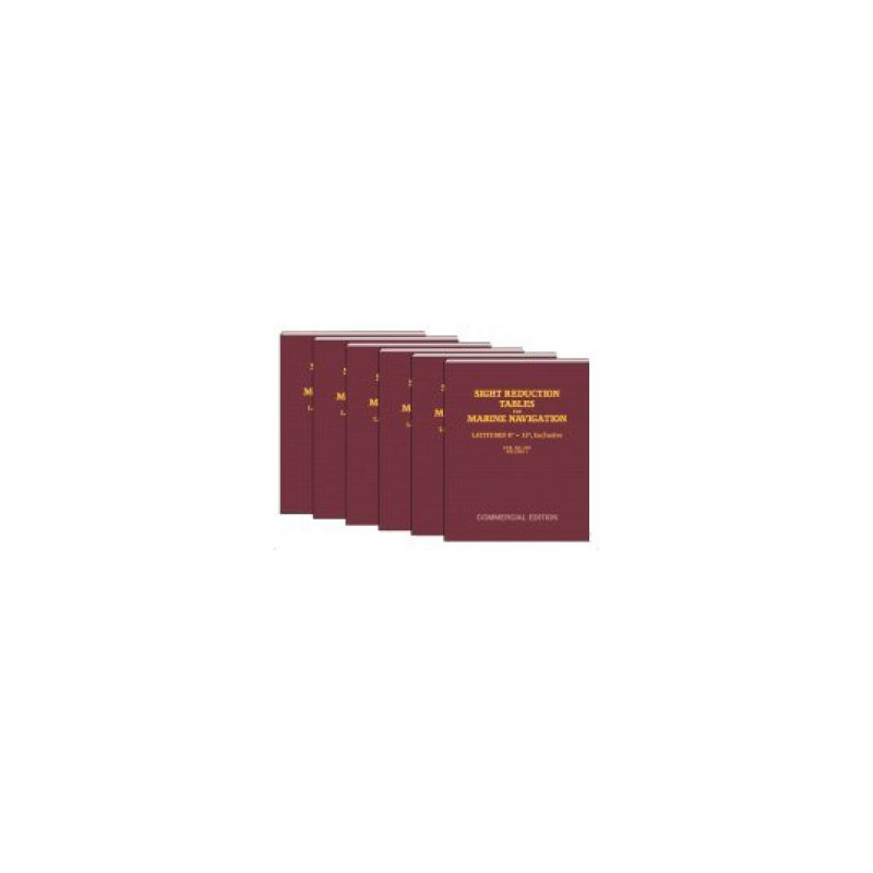
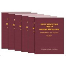
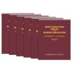
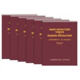
Published under the authority of the National Imagery and Mapping Agency (NIMA), these tables adhere to the highest standards of accuracy and consistency. As part of the Pub. No. 229 (HO-229) series, Volume 3 is one of six volumes, each tailored to specific latitude ranges. This ensures that mariners only need the volume relevant to their operational area, reducing bulk while maintaining comprehensive coverage. The tables are permanently valid, eliminating the need for frequent updates and making them a dependable companion for long voyages.
Engineered for efficiency, this paperback edition features a user-friendly 8.5" x 11" format, allowing for easy handling and quick reference on the bridge. The tables are structured to streamline calculations, minimizing the risk of errors during critical navigation tasks. While the complete set includes six volumes, Volume 3 is self-sufficient for mariners navigating within its specified latitude range, offering a balance between completeness and convenience.
Constructed to withstand the demanding conditions of life at sea, this volume is designed for repeated use. The sturdy paperback binding ensures durability, while the clear, legible layout enhances readability in all lighting conditions. Weighing just 1.5 kg, it is lightweight enough for easy storage yet robust enough to endure the rigors of maritime environments. This makes it an indispensable tool for commercial mariners, naval officers, and professional navigators who rely on precision and reliability.
For those responsible for the safe and efficient operation of vessels, the Sight Reduction Tables for Marine Navigation Volume 3 is more than just a reference—it is a vital component of a mariner’s toolkit. Its standardized data, combined with its ease of use, ensures that navigators can perform celestial calculations with speed and accuracy, even in challenging conditions. Whether used as a primary method or a backup to electronic systems, these tables provide the assurance needed to navigate with confidence.
Precision Navigation Made Simple with Sight Reduction Tables Volume 3
Navigate the world’s oceans with unmatched accuracy using the Sight Reduction Tables for Marine Navigation Volume 3, a cornerstone resource for professional mariners. Covering latitudes from 30° to 45°, this volume is engineered to deliver precise celestial navigation data for both the Northern and Southern Hemispheres. Whether you're plotting a course in the Atlantic, Pacific, or any other major sea route, these tables provide the critical calculations needed to determine your position using the time-tested Saint-Hilaire method. Designed for efficiency, they eliminate the guesswork from celestial navigation, ensuring reliable results in any maritime environment.
Trusted by Navies and Commercial Fleets Worldwide
As part of the Pub. No. 229 (HO-229) series, these tables are published under the authority of the National Imagery and Mapping Agency (NIMA), a name synonymous with accuracy and reliability in maritime navigation. This volume is one of six in the series, each tailored to specific latitude ranges to ensure mariners only carry the data they need. The tables are permanently valid for all celestial bodies and declinations, making them a timeless resource that doesn’t require frequent updates. This level of dependability has made them a standard reference for naval officers, commercial mariners, and offshore professionals who demand the highest standards of precision.
Designed for the Demands of Professional Navigation
The 8.5" x 11" paperback format is optimized for practical use on the bridge, offering a balance of portability and readability. Weighing just 1.5 kg, it is lightweight enough to store in a navigation station yet durable enough to withstand the wear and tear of daily use at sea. The clear, tabular layout ensures quick access to data, reducing the time spent on calculations and minimizing the risk of errors. Whether you're navigating in open waters or coastal areas, these tables provide the data needed to plot a safe and efficient course, making them an indispensable tool for any professional mariner.
Seamless Integration with Traditional and Modern Navigation Techniques
While electronic navigation systems have become commonplace, the Sight Reduction Tables for Marine Navigation Volume 3 remains a critical backup and primary resource for those who value redundancy and reliability. These tables are designed to work seamlessly with traditional celestial navigation techniques, providing a fail-safe method for determining position when electronic systems are unavailable or compromised. Their standardized format ensures consistency across all calculations, making them an ideal companion for mariners who prioritize safety and precision. Whether used as a standalone tool or in conjunction with modern technology, these tables deliver the confidence needed to navigate with accuracy.
The Sight Reduction Tables for Marine Navigation Volume 3 is a specialized publication designed for professional celestial navigation. Part of the Pub. No. 229 (HO-229) series, this volume covers latitudes from 30° to 45°, making it ideal for mariners operating in mid-latitude regions. The tables are published in a durable paperback format, measuring 8.5" x 11" and weighing 1.5 kg, ensuring ease of use and storage on board. As a standalone resource, this volume provides all the necessary data for calculating celestial lines of position using the Saint-Hilaire method, with permanent validity for all celestial bodies and declinations.
With decades of experience in providing high-quality navigation tools, the publisher behind these tables is a trusted name in the maritime industry. Specializing in resources for professional and recreational navigators, their publications are designed to meet the rigorous demands of life at sea. From celestial navigation to advanced plotting techniques, their products are built on a foundation of accuracy, reliability, and practicality, making them a go-to choice for mariners worldwide.
This volume covers latitudes between 30° and 45°, usable in both the northern and southern hemispheres.
Yes, these tables are permanently valid for all celestial bodies and declinations, ensuring accurate sight reduction calculations.
Only the volume corresponding to your anticipated latitudes is necessary, though the full set includes six volumes for global coverage.
These tables are designed for the Saint-Hilaire method, providing precise calculations for altitude intercepts in celestial navigation.
Yes, they are standardized tables published by the National Imagery and Mapping Agency (NIMA), ensuring reliability for marine navigation.
The book is in a paperback format with dimensions of 8.5 inches by 11 inches, making it practical for use on board.
This volume weighs approximately 1.5 kilograms, balancing durability with portability.
You might also like










![Admiralty - NP303(1) - Rapid Sight Reduction Tables Volume 1, Selected Stars [Epoch 2020]](https://www.nautic-way.com/86054-home_default/admiralty-np3031-rapid-sight-reduction-tables-volume-1-selected-stars-epoch-2020-maritime-bookshop-nautic-way.jpg)