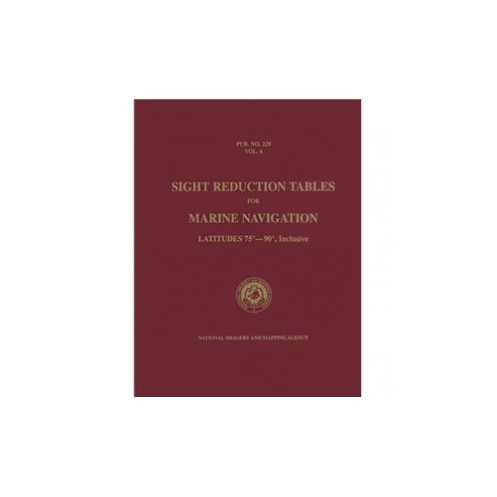



Accurate celestial navigation in polar regions requires reliable tools. This volume covers latitudes 75° to 90°, delivering precise sight reduction calculations for mariners in extreme environments.
Data sheet
Specific References
Master celestial navigation in the most extreme latitudes with this essential reference for professional mariners. Designed for polar and near-polar regions, this volume delivers unmatched accuracy for calculating lines of position using the Saint-Hilaire method. Whether navigating icy Arctic waters or remote Antarctic seas, these tables provide the critical data needed to determine your vessel’s position with confidence, even when traditional electronic systems fail.
This volume covers latitudes from 75° to 90° North or South, making it indispensable for voyages in polar regions where standard navigation tools fall short. The tables are structured to support the sight reduction process for all celestial bodies, regardless of declination, ensuring reliable results in the most challenging environments. With 396 pages of meticulously calculated data, this book is a cornerstone of safe and precise marine navigation for commercial and professional seafarers.
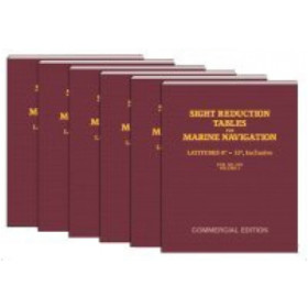
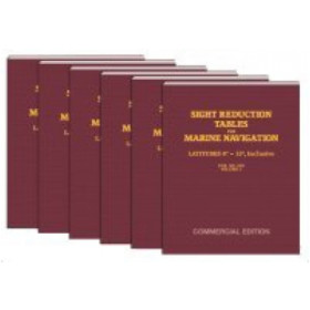
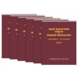
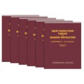
Published as part of the official Pub. No. 229 (HO-229) series by the National Imagery and Mapping Agency (NIMA), these tables are the gold standard for celestial navigation. While the complete set includes six volumes, only the volumes corresponding to your anticipated latitudes are necessary—Volume 6 is specifically tailored for high-latitude voyages. This commercial edition ensures accessibility without compromising the rigor and reliability demanded by professional navigators.
Designed for real-world conditions, this paperback edition is lightweight (1.5 kg) and portable, making it easy to store and use on board. Its compact format ensures quick reference during critical navigation tasks, while the high-quality printing guarantees clarity and durability. Whether you’re a seasoned captain or a navigation officer, this book is an indispensable tool for ensuring accuracy and safety in polar waters.
Unlock the Secrets of Polar Navigation
When electronic systems falter in the world’s most remote and extreme environments, the Sight Reduction Tables for Marine Navigation Volume 6 becomes your most reliable ally. This specialized volume is engineered for mariners navigating latitudes between 75° and 90° North or South, where precision is not just a requirement—it’s a necessity for survival. Whether you’re charting a course through the Arctic or Antarctic, these tables provide the critical data needed to calculate lines of position with unparalleled accuracy, ensuring your vessel stays on course even when modern technology fails.
Designed for the Rigors of Professional Navigation
Part of the legendary Pub. No. 229 (HO-229) series, this volume is a cornerstone of celestial navigation, trusted by the National Imagery and Mapping Agency (NIMA) and mariners worldwide. With 396 pages of meticulously calculated data, it supports the Saint-Hilaire method for sight reduction, offering consistent and reliable results for all celestial bodies, regardless of declination. This commercial edition is tailored for professional use, providing the same level of precision as the official publications but in a more accessible format.
Optimized for High-Latitude Voyages
Unlike generic navigation tools, this volume is specifically designed for the unique challenges of polar navigation. It eliminates the guesswork in extreme latitudes, where standard methods often fall short. Lightweight at just 1.5 kg and compact in size, it’s built for practical use on board, ensuring quick reference during critical moments. Whether you’re navigating through ice-filled waters or under the midnight sun, this book is your key to maintaining accuracy and safety in the most demanding conditions.
A Legacy of Reliability
Since its publication in 2007, this volume has been a trusted resource for mariners operating in high-latitude regions. While the complete set includes six volumes, only those corresponding to your anticipated latitudes are necessary—Volume 6 is indispensable for voyages near the poles. Its durable paperback format ensures it withstands the harsh conditions of life at sea, making it a must-have for any professional navigating the world’s most extreme waters.
This volume of the Sight Reduction Tables for Marine Navigation is tailored for latitudes 75° to 90° North or South, providing 396 pages of precise data for celestial navigation. Published as part of the Pub. No. 229 (HO-229) series, it weighs 1.5 kg and is available in a durable paperback format. The commercial edition ensures accessibility while maintaining the high standards of accuracy required for professional marine navigation.
With decades of experience in providing high-quality navigation tools, the publisher behind this volume is a trusted name in the maritime industry. Specializing in resources for professional mariners, their publications are designed to meet the rigorous demands of navigation in extreme environments, ensuring reliability and precision when it matters most.
This volume covers latitudes from 75° to 90°, both North and South.
This edition contains 396 pages.
Yes, these tables are designed for sight reduction calculations valid for all celestial bodies and declinations.
This edition was published on January 1, 2007.
This volume weighs 1.5 kilograms.
No, only the volumes corresponding to the anticipated latitudes are necessary for navigation.
These tables support the Saint-Hilaire method for calculating lines of position.
You might also like











![Admiralty - NP303(1) - Rapid Sight Reduction Tables Volume 1, Selected Stars [Epoch 2020]](https://www.nautic-way.com/86054-home_default/admiralty-np3031-rapid-sight-reduction-tables-volume-1-selected-stars-epoch-2020-maritime-bookshop-nautic-way.jpg)