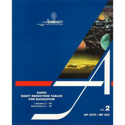




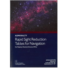
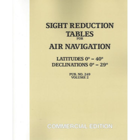
Precision meets efficiency with these sight reduction tables for latitudes 0°-39° and declinations 0°-29°. Achieve 1-minute altitude and 1° azimuth accuracy for seamless celestial navigation.
Data sheet
Specific References
Unlock Precision in Celestial Navigation
When seconds count and accuracy is non-negotiable, the Rapid Sight Reduction Tables Volume 2 delivers the critical data mariners need to navigate with confidence. This specialized publication provides pre-computed altitude and azimuth values for celestial bodies, eliminating the need for complex manual calculations at sea. Covering latitudes from 0° to 39° and declinations from 0° to 29°, it is the go-to resource for vessels operating in equatorial and mid-latitude waters, where celestial navigation remains a cornerstone of safe passage.
Engineered for Real-World Maritime Conditions
Built for the demands of professional seafaring, these tables offer altitude precision to the nearest minute (1') and azimuth to the nearest degree (1°), ensuring reliable position fixes even in challenging conditions. The volume accounts for zenith distances up to 95°—and up to 97° in polar-adjacent regions—making it versatile for a wide range of sailing routes. Whether navigating by the sun, moon, or planets, mariners can trust these tables to provide consistent, error-free results without the delays of traditional computation methods.
Designed for Efficiency and Durability
Weighing just 1270 grams, this paperback edition is lightweight yet robust, designed to withstand the rigors of life at sea. Its compact format allows for easy storage on the bridge or in navigation stations, ensuring quick access when time is of the essence. The 2018 edition reflects the latest refinements in celestial navigation data, providing up-to-date information for modern maritime operations. For professionals who rely on redundancy, this volume serves as a fail-safe alternative to electronic navigation systems, ensuring compliance with SOLAS regulations and industry best practices.
Trusted by Maritime Professionals Worldwide
Adopted by commercial fleets, offshore operators, and maritime training institutions, these tables are a benchmark for celestial navigation. They streamline the sight reduction process, reducing the risk of human error during critical navigation tasks. Whether used for routine position checks or as a backup during electronic system failures, this publication ensures mariners maintain situational awareness in all conditions. Its systematic layout minimizes interpolation, allowing for faster decision-making in dynamic environments where every second counts.
This volume of the Rapid Sight Reduction Tables provides comprehensive data for celestial navigation, covering latitudes from 0° to 39° and declinations from 0° to 29° north and south. It includes altitude values precise to 1 minute and azimuth values to 1°, supporting observations of the sun, moon, and planets for zenith distances under 95° (97° near polar regions). The 2018 paperback edition weighs 1270 grams and is designed for durability and ease of use in professional maritime settings.
For over two centuries, this organization has set the global standard for nautical publications, providing mariners with the most accurate and reliable navigation resources available. Their products are trusted by commercial fleets, naval forces, and maritime training institutions worldwide, ensuring safety and precision in all aspects of navigation. With a commitment to continuous innovation and adherence to international maritime regulations, their publications remain essential tools for professionals navigating the world's oceans.
The tables provide altitude calculations with a precision of 1 minute (1').
Yes, they cover observations for the Sun, Moon, and planets.
The maximum zenith distance is less than 95°, except between 70° and the poles, where it extends to 97°.
No, they cover latitudes from 0° to 40° north and south only.
The volume weighs 1270 grams.
No, it is only available in English.
The latest edition was published in 2018.
You might also like











![Admiralty - NP303(1) - Rapid Sight Reduction Tables Volume 1, Selected Stars [Epoch 2020]](https://www.nautic-way.com/86054-home_default/admiralty-np3031-rapid-sight-reduction-tables-volume-1-selected-stars-epoch-2020-maritime-bookshop-nautic-way.jpg)