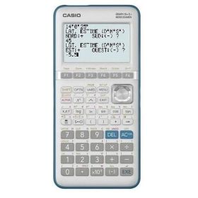



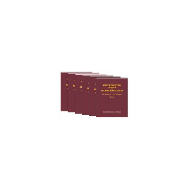
Navigate high latitudes (60°–75°) with confidence using these expert sight reduction tables. Designed for celestial navigation, they ensure accurate position fixes in polar and subpolar waters.
Data sheet
Specific References
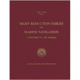
Master celestial navigation with the definitive Sight Reduction Tables for Marine Navigation Volume 5, the trusted reference for mariners navigating extreme latitudes. Designed for professional seafarers, this volume covers latitudes from 60° to 75°, both North and South, ensuring accurate sight reductions in polar and subpolar regions where traditional methods fall short. Whether you're charting Arctic waters or southern ocean routes, these tables provide the reliability needed for safe and precise navigation.
Part of a six-volume series, this publication is the gold standard for celestial navigation, widely used in commercial shipping, offshore industries, and long-distance sailing. The tables follow the Saint-Hilaire method, enabling navigators to calculate lines of position with unmatched accuracy. Unlike digital tools that rely on power and signal, these printed tables offer a fail-safe solution, ensuring navigation remains possible even in the most remote or challenging conditions.
Crafted for the demands of life at sea, this 394-page volume is printed in a sturdy paperback format, designed to withstand frequent use in harsh marine environments. The tables are permanently valid for all celestial bodies and declinations, eliminating the need for updates or recalibration. Lightweight yet comprehensive, this volume is an indispensable tool for navigators who require dependable, offline navigation aids.
Navigating near the poles presents unique challenges, from distorted compass readings to limited visibility. This volume addresses those challenges head-on, offering tailored calculations for high-latitude voyages. Whether you're a merchant mariner, an offshore explorer, or a professional navigator, these tables ensure you can plot your course with confidence, regardless of how far north or south your journey takes you.
Compatible with sextant observations and traditional navigation techniques, these tables streamline the process of converting celestial data into actionable navigation information. The clear, tabular layout minimizes errors and speeds up calculations, allowing navigators to focus on what matters most—safely reaching their destination. As part of the HO-229/Pub. 229 series, this volume adheres to international maritime standards, making it a trusted resource for professionals worldwide.
Unlock Precision in Extreme Latitudes
When navigating near the poles, accuracy isn’t just important—it’s critical. The Sight Reduction Tables for Marine Navigation Volume 5 delivers unparalleled precision for mariners operating between 60° and 75° latitude, North or South. This fifth volume in a six-part series is engineered to handle the unique challenges of high-latitude navigation, where traditional methods often fail. Whether you're charting Arctic shipping routes or exploring the Southern Ocean, these tables provide the reliable data needed to calculate lines of position with confidence.
Built for Professional Use
Designed for commercial mariners, offshore professionals, and long-distance sailors, this publication is a cornerstone of celestial navigation. The tables follow the Saint-Hilaire method, the industry-standard approach for reducing sextant observations into accurate navigational data. With 394 pages of meticulously calculated values, this volume ensures you can plot your course even when digital tools are unavailable or unreliable. Its paperback format is built to endure the rigors of life at sea, from damp conditions to frequent handling.
Permanently Valid and Universally Compatible
Unlike ephemeral digital solutions, these tables are permanently valid for all celestial bodies and declinations, requiring no updates or recalibration. This makes them an indispensable backup for modern navigation systems, ensuring you’re never left without a reliable way to determine your position. Compatible with sextant observations and traditional navigation practices, this volume integrates seamlessly into any mariner’s toolkit, adhering to the HO-229/Pub. 229 standard recognized worldwide.
Optimized for High-Latitude Challenges
Navigating near the poles introduces complexities like magnetic distortion and limited visibility, which can compromise even the most advanced instruments. This volume is specifically tailored to address these challenges, offering calculations that account for the unique conditions of high-latitude voyages. Lightweight at just 1.5 kg, it’s easy to store on board without sacrificing the depth of data needed for safe and efficient navigation.
This volume of the Sight Reduction Tables for Marine Navigation series covers latitudes from 60° to 75°, both North and South, making it ideal for high-latitude navigation. Published in 2007, this 394-page paperback edition is part of a six-volume set, adhering to the HO-229/Pub. 229 standard. Weighing 1.5 kg, it is designed for durability and ease of use in marine environments, with permanently valid data for all celestial bodies and declinations.
A leader in maritime navigation resources, this publisher specializes in high-quality tools for professional and recreational mariners. With a focus on accuracy and reliability, their publications are trusted by navigators worldwide, offering solutions that bridge traditional techniques with modern demands. Their products are designed to withstand the challenges of life at sea, ensuring dependable performance in any condition.
This volume covers latitudes from 60° to 75°, both North and South, making it ideal for high-latitude navigation.
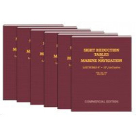
The series consists of six volumes, each covering a specific range of latitudes for marine celestial navigation.
Yes, the tables provide permanent validity for all celestial bodies and declinations.
The book weighs approximately 1.5 kilograms, making it sturdy yet manageable for onboard use.
These tables are designed for precise sight reduction calculations using the Saint-Hilaire method.
No, this edition is only available in English.
The ISBN-13 is 978-0970801074, and the ISBN-10 is 0970801076.
You might also like










![Admiralty - NP303(1) - Rapid Sight Reduction Tables Volume 1, Selected Stars [Epoch 2020]](https://www.nautic-way.com/86054-home_default/admiralty-np3031-rapid-sight-reduction-tables-volume-1-selected-stars-epoch-2020-maritime-bookshop-nautic-way.jpg)