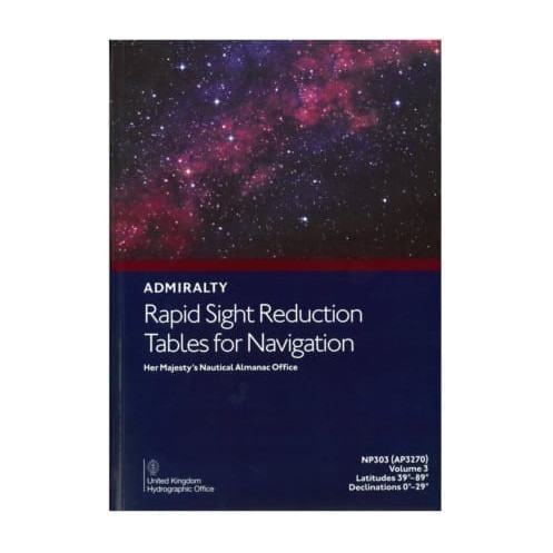




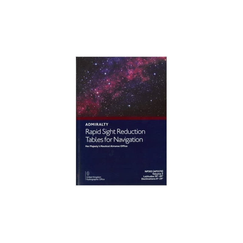
Precision tables for celestial navigation, offering 1-minute altitude and 1° azimuth data for latitudes 40°-89° and declinations 0°-29°. Ideal for Sun, Moon, and planet observations.
Data sheet
Specific References
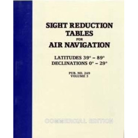
Master the art of celestial navigation with the Rapid Sight Reduction Tables Volume 3, a critical resource for mariners navigating high latitudes. Designed for professional use, this volume delivers unparalleled accuracy with altitude values precise to 1 minute and azimuth values to 1 degree. Covering latitudes from 40° to 89°, it ensures reliable data for even the most challenging polar and subpolar regions, where traditional navigation methods fall short. Whether tracking the Sun, Moon, planets, or selected stars, these tables provide the essential calculations needed to determine position at sea with confidence.
Navigating near the poles demands specialized tools, and this volume is tailored for those extreme conditions. It supports declinations from 0° to 29° (both north and south), accommodating the unique celestial dynamics of high-latitude environments. With a zenith distance limit of 95° (extended to 97° between 70° and the poles), it ensures comprehensive coverage for all relevant hour angles. This makes it indispensable for vessels operating in Arctic or Antarctic waters, where precision and reliability are non-negotiable.
Optimized for use alongside the Nautical Almanac, this volume streamlines the process of sight reduction, transforming raw celestial observations into actionable navigational data. Its structured format allows for quick reference, reducing the risk of human error during critical calculations. Ideal for merchant marine professionals, this tool bridges the gap between traditional celestial navigation and modern maritime operations, ensuring compliance with international standards while enhancing onboard safety.
Crafted for the demands of life at sea, this printed edition is designed to withstand the rigors of maritime environments. Its robust construction ensures longevity, even in harsh conditions, while its clear, concise layout facilitates rapid data retrieval. As a trusted resource for navigators worldwide, it reflects decades of expertise in hydrographic data, making it a cornerstone of any professional mariner’s toolkit. Whether for routine voyages or expeditions into remote waters, this volume delivers the accuracy and reliability needed to navigate with certainty.
Unlock Precision in Celestial Navigation with Rapid Sight Reduction Tables Volume 3
When navigating the world’s most remote and challenging waters, accuracy is everything. The Rapid Sight Reduction Tables Volume 3 is engineered to meet the exacting demands of professional mariners, offering a specialized solution for high-latitude celestial navigation. Covering latitudes from 40° to 89°, this volume is indispensable for vessels operating in polar and subpolar regions, where traditional navigation methods often prove inadequate. With altitude values precise to 1 minute and azimuth values to 1 degree, it provides the critical data needed to determine position with confidence, even in the most extreme conditions.
Tailored for High-Latitude and Polar Navigation
This volume is specifically designed to address the unique challenges of navigating near the Earth’s poles. It supports declinations from 0° to 29° (both north and south), ensuring comprehensive coverage for the Sun, Moon, planets, and selected stars. The tables account for zenith distances up to 95° (extended to 97° between 70° and the poles), making them ideal for all hour angles encountered in high-latitude voyages. Whether charting a course through the Arctic or Antarctic, mariners can rely on this resource to deliver consistent, accurate results where other tools fall short.
Optimized for Professional Use and Seamless Integration
Designed for efficiency and ease of use, this volume works in tandem with the Nautical Almanac to streamline the sight reduction process. Its structured layout allows for quick reference, minimizing the risk of errors during critical calculations. Weighing 1680 grams, this printed edition is built to endure the demands of life at sea, with a durable construction that ensures longevity even in harsh maritime environments. Its clear, concise format makes it an essential tool for merchant marine professionals, ensuring compliance with international navigation standards while enhancing onboard safety and operational efficiency.
Trusted by Mariners Worldwide for Over a Century
For generations, navigators have relied on these tables to provide the precision and reliability needed for safe passage. This 2020 edition continues that legacy, offering updated data and a format refined for modern maritime operations. Whether used for routine voyages or expeditions into uncharted waters, this volume remains a cornerstone of celestial navigation, trusted by professionals who demand nothing less than the highest standards of accuracy and performance.
The Rapid Sight Reduction Tables Volume 3 delivers specialized data for celestial navigation in high-latitude regions, covering latitudes from 40° to 89° and declinations from 0° to 29° (north and south). It provides altitude values precise to 1 minute and azimuth values to 1 degree, with a zenith distance limit of 95° (extended to 97° between 70° and the poles). This printed edition, weighing 1680 grams, is designed for professional use and supports observations of the Sun, Moon, planets, and selected stars.
With a legacy spanning over two centuries, this publisher is a global authority in hydrographic data and maritime navigation. Renowned for its precision and reliability, its publications are trusted by mariners, naval forces, and commercial fleets worldwide. Combining cutting-edge research with practical expertise, its resources set the standard for safety and accuracy in navigation, ensuring vessels can operate with confidence in even the most challenging environments.
The altitude values in these tables are precise to 1 minute.
These tables support observations of the Sun, Moon, planets, and selected stars.
This volume covers declinations from 0° to 29° North and South in whole degrees.
No, this volume covers latitudes from 39° to 89° only.
The printed volume weighs 1680 grams.
No, this edition is only available in English.
The maximum zenith distance is less than 95°, except between latitudes 70° and the poles, where it extends to 97°.
You might also like











![Admiralty - NP303(1) - Rapid Sight Reduction Tables Volume 1, Selected Stars [Epoch 2020]](https://www.nautic-way.com/86054-home_default/admiralty-np3031-rapid-sight-reduction-tables-volume-1-selected-stars-epoch-2020-maritime-bookshop-nautic-way.jpg)