I am sailing in Spain
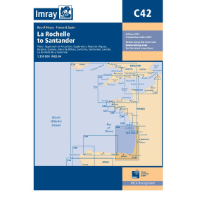
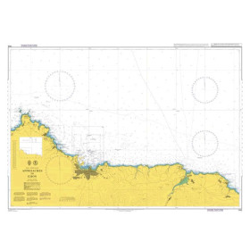
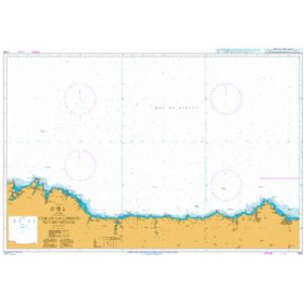
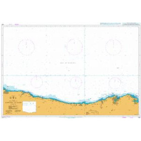
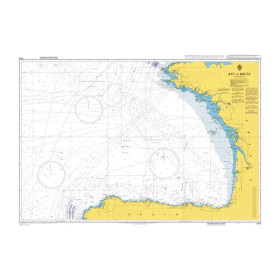
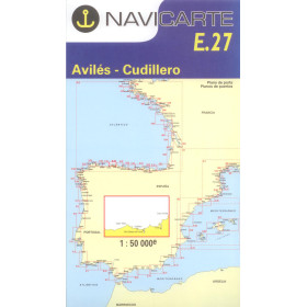
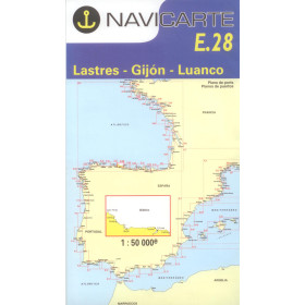
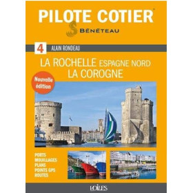
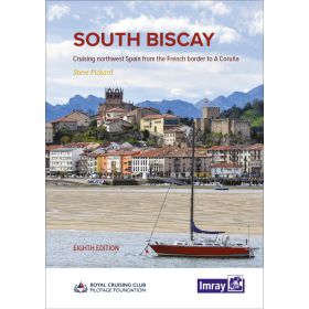
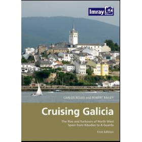
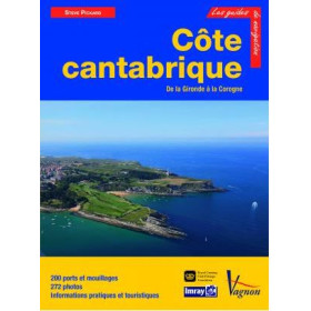
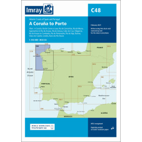
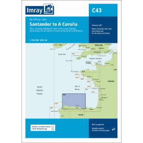
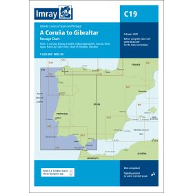
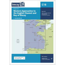
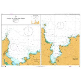
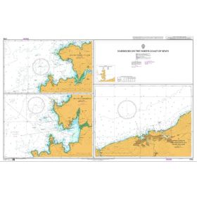
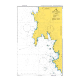
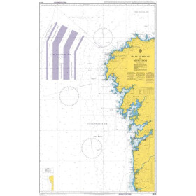
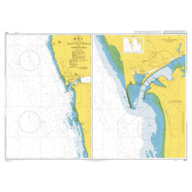
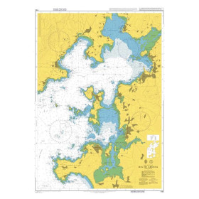
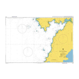
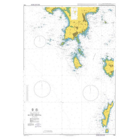
The category “I navigate in Spain” brings together nautical charts, cruising guides and essential documents for planning navigation along the Spanish coastline and islands. It covers the Mediterranean Sea, the Balearic Sea, the Alboran Sea, the Gulf of Cádiz and the Atlantic Ocean, including cruising areas such as the Costa Brava, Costa Blanca, Costa del Sol, Galicia, Asturias, the Balearic Islands and the Canary Islands. Find nautical charts covering Barcelona, Valencia, Alicante, Cartagena, Málaga, Gibraltar, Cádiz, Vigo, A Coruña, Palma de Mallorca, Ibiza, Tenerife and Las Palmas. Whether you are planning a cruise, offshore passage or coastal navigation in Spain, Nautic Way offers charts and guides from publishers and brands including Imray, Navionics, C-MAP, NV Charts and the Instituto Hidrográfico de la Marina (IHM). These publications provide essential information for planning routes, ports, anchorages, hazards, depths and other key information required for safe navigation in Spain.

 Click here to open our interactive map and select your charts