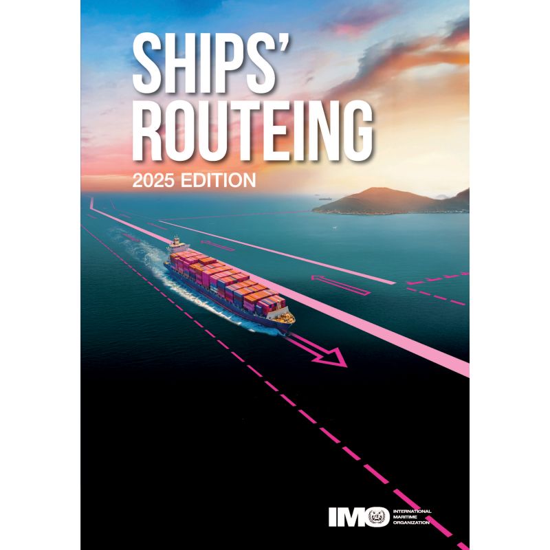





Optimize maritime safety with the essential digital guide to ships' routing. Covers traffic separation schemes, deep-water routes, and avoidance areas for secure navigation.
Data sheet
Specific References
Navigate with confidence using the most authoritative resource on ships’ routeing. This digital edition of *IMO Ships’ Routeing* is the definitive guide for maritime professionals, providing up-to-date measures to enhance navigational safety and protect ocean environments. Designed for captains, navigators, and maritime authorities, this publication ensures compliance with international standards while optimizing vessel traffic flow in high-risk areas.
This publication consolidates all routeing measures adopted by the International Maritime Organization (IMO) before July 2015, offering a complete framework for safe and efficient maritime operations. From traffic separation schemes to deep-water routes, it covers critical guidelines for navigating congested or environmentally sensitive zones. Whether managing coastal traffic, avoiding hazardous areas, or adhering to mandatory reporting systems, this resource provides the tools to mitigate risks and streamline voyages.
Tailored for the digital age, this edition delivers instant access to vital navigation data without the bulk of a physical book. Ideal for onboard use or shore-based planning, it supports real-time decision-making with clear, actionable directives. The publication includes detailed charts, recommended tracks, and rules for specific straits and archipelagic sea lanes, ensuring vessels operate within internationally recognized corridors. By standardizing routeing practices, it reduces the likelihood of collisions, groundings, and environmental incidents.
Beyond safety, *IMO Ships’ Routeing* plays a pivotal role in environmental protection. By directing vessels away from ecologically sensitive zones and optimizing fuel-efficient paths, it helps minimize the maritime industry’s carbon footprint. The inclusion of "areas to be avoided" and no-anchoring zones further safeguards marine ecosystems, aligning with global sustainability goals. For shipping companies, this translates to reduced operational costs and enhanced compliance with evolving environmental regulations.
As the official IMO publication, this digital edition is the gold standard for routeing measures, trusted by flag states, port authorities, and shipping fleets. Its structured format—divided into sections for traffic separation schemes, deep-water routes, and mandatory reporting systems—ensures quick reference during voyages. Whether navigating the English Channel, the Strait of Malacca, or Arctic waters, this resource provides the clarity and precision needed to operate safely in any maritime environment.
Unlock Precision Navigation with the Digital Edition of IMO Ships’ Routeing
In the fast-paced world of maritime operations, accuracy and compliance are non-negotiable. The *IMO Ships’ Routeing – Digital Edition* is the ultimate reference for captains, navigators, and maritime authorities, offering a complete compendium of routeing measures adopted by the International Maritime Organization (IMO) before July 2015. This 874-page digital publication is designed to enhance navigational safety, reduce environmental risks, and optimize vessel traffic in some of the world’s busiest and most sensitive waterways. With instant access to critical data, it eliminates the need for cumbersome physical manuals while ensuring that every voyage adheres to the highest international standards.
Engineered for Real-World Maritime Challenges
This digital edition is more than just a static document—it’s a dynamic tool for modern maritime operations. It consolidates a wide range of routeing measures, including traffic separation schemes, deep-water routes, and areas to be avoided, all of which are essential for preventing collisions, groundings, and environmental incidents. The publication also covers mandatory ship reporting systems, archipelagic sea lanes, and rules for navigating specific straits, providing a one-stop solution for compliance and operational efficiency. Whether you’re navigating congested coastal waters or remote ocean passages, this resource delivers the clarity and precision needed to make informed decisions in real time.
Optimized for Digital Accessibility and Onboard Use
Gone are the days of flipping through heavy paper manuals. This digital edition is designed for seamless integration into onboard navigation systems or shore-based planning tools. With a compact file size and user-friendly format, it ensures quick access to critical information without compromising on detail. The publication is compatible with the IMO’s free digital reader, making it easy to search, annotate, and reference during voyages. Its dimensions—210 mm in height and 150 mm in width—mirror the traditional paper format, ensuring familiarity for users transitioning to digital. Weighing in at just 1.2 kg in its physical form, this digital version offers all the benefits without the bulk.
Future-Proofed for Evolving Maritime Regulations
Maritime regulations are constantly evolving, and staying ahead of the curve is essential for compliance and safety. The *IMO Ships’ Routeing – Digital Edition* is updated to include all routeing measures adopted before September 2025, ensuring that users have access to the most current guidelines. This edition reflects the latest advancements in traffic management, environmental protection, and navigational best practices, making it an indispensable resource for shipping companies, port authorities, and maritime training institutions. By standardizing routeing practices, it not only enhances safety but also contributes to the sustainability of global shipping operations.
This digital edition of *IMO Ships’ Routeing* provides a comprehensive framework for maritime navigation, featuring 874 pages of detailed routeing measures, charts, and guidelines. Published by the International Maritime Organization (IMO) and updated to include measures adopted before July 2015, it covers traffic separation schemes, deep-water routes, areas to be avoided, and mandatory reporting systems. The digital format ensures instant access and compatibility with the IMO’s free reader, while its dimensions (210 mm x 150 mm) and lightweight design (1.2 kg in physical form) make it ideal for both onboard and shore-based use. The 2025 edition reflects the latest advancements in maritime safety and environmental protection.
The International Maritime Organization (IMO) is the United Nations’ specialized agency responsible for regulating global shipping. Established in 1948, the IMO sets international standards for maritime safety, security, and environmental performance, ensuring that shipping remains the most efficient and sustainable mode of transport. Its publications, including *Ships’ Routeing*, are recognized as the definitive references for maritime professionals worldwide, trusted by governments, shipping companies, and navigators for their accuracy and authority.
The publication incorporates routing measures adopted before September 2025.
The digital version is in a locked format and requires the free IMO e-reader for access.
The physical version measures 210 mm in height and 150 mm in width.
The publication contains 874 pages.
It includes traffic separation schemes, deep-water routes, areas to be avoided, recommended tracks, two-way routes, mandatory ship reporting systems, and archipelagic sea lanes.
The latest edition was published in January 2026, covering updates up to July 2015.
Yes, it provides navigation rules and recommendations for specific areas and straits.
You might also like