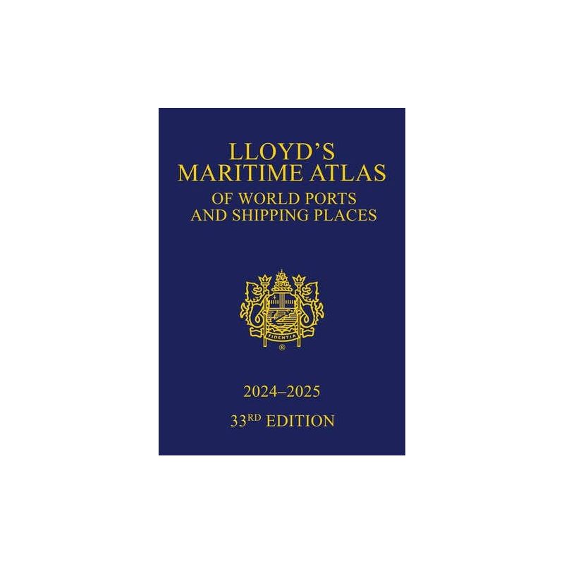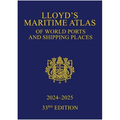




Essential for maritime professionals, this 33rd edition atlas delivers 9,000+ global ports, 70+ color maps, and critical updates on piracy, distances, and new shipping zones for 2024-2025.
Data sheet
Specific References
For over seven decades, this atlas has set the standard for maritime navigation and port logistics. Trusted by shipping companies, port authorities, and maritime professionals worldwide, it delivers unparalleled accuracy and comprehensive coverage of global ports and shipping routes. Whether you're planning voyages, assessing risks, or optimizing logistics, this atlas provides the critical data needed to navigate the complexities of international maritime trade with confidence.
Featuring over 70 full-color maps, this edition offers detailed visual representations of global, oceanic, and regional shipping zones. Each map is meticulously updated to reflect the latest changes in port infrastructure, shipping lanes, and maritime boundaries. The atlas includes precise latitude and longitude coordinates for more than 9,000 ports and shipping locations, ensuring accurate navigation and route planning. Enhanced with detailed insets for major ports and critical maritime hubs, it provides a clear and actionable overview of the world’s shipping networks.
Beyond navigation, this atlas serves as a vital tool for risk management and operational decision-making. It includes up-to-date information on maritime hazards, such as piracy hotspots, with regional summaries and incident data categorized by vessel type and deadweight tonnage (DWT). The latest MARPOL PSSA and SECA zones are clearly marked, including new emissions control areas in the Mediterranean. Additionally, the atlas features global vaccination requirements, international load line zones, and extended maritime distance tables—both global and regional—to support efficient voyage planning and compliance with international regulations.
The 2024-2025 edition introduces nearly 200 new ports, over 400 additional anchorage points, 45 new marine terminals, and 22 offshore installations. It also maps 85 new oil and gas fields, ensuring that users have access to the most current infrastructure developments. The atlas integrates seamlessly with complementary maritime references, providing a holistic view of global shipping operations. Whether you're tracking fleet statistics, planning bunkering operations, or analyzing trade routes, this edition equips you with the data needed to stay ahead in a dynamic industry.
Designed for maritime professionals, this atlas combines technical rigor with practical usability. Its unique geographic and alphabetical indexing system allows for quick and easy reference, while the inclusion of major canals, river systems, and multimodal transport links (road, rail, and air) ensures comprehensive connectivity insights. The durable hardcover format is built to withstand frequent use in both office and onboard environments, making it an indispensable resource for captains, logistics managers, insurers, and maritime consultants.
Navigate the world’s shipping networks with unmatched precision
The *Lloyd’s Maritime Atlas of World Ports and Shipping Places* is the most authoritative and comprehensive reference for maritime professionals, offering detailed insights into over 9,000 ports and shipping locations worldwide. Now in its 33rd edition (2024-2025), this atlas has been fully updated to reflect the latest developments in global maritime infrastructure, including nearly 200 new ports, 400+ anchorage points, and 85 oil and gas fields. With over 70 full-color maps—covering global, oceanic, and regional scales—it provides a visual and data-driven tool for voyage planning, risk assessment, and operational efficiency.
Critical data for modern maritime operations
This edition introduces expanded maritime distance tables, featuring a double-page global overview and 33 regional tables, enabling precise route optimization. It also includes the latest updates on piracy incidents, MARPOL PSSA/SECA zones (with new Mediterranean emissions control areas), and international load line regulations. The atlas integrates key multimodal transport links, such as major canals, river systems, and road/rail/air connections, ensuring seamless logistics planning. Whether you're a ship operator, port authority, or maritime insurer, this resource delivers the accuracy and depth required to navigate today’s complex shipping landscape.
Built for durability and ease of use
Designed to meet the demands of maritime professionals, this 218-page hardcover atlas weighs 1.5 kg, making it sturdy enough for frequent use in both office and onboard settings. Its unique dual-indexing system—geographic and alphabetical—allows for quick reference, while the inclusion of detailed insets for major ports ensures clarity in high-traffic areas. The 2024-2025 edition also aligns with *Lloyd’s List Ports of the World*, providing a complementary resource for comprehensive maritime intelligence.
The *Lloyd’s Maritime Atlas of World Ports and Shipping Places* (33rd edition, 2024-2025) is a 218-page hardcover reference featuring over 70 full-color maps, including global, oceanic, and regional scales. It provides precise latitude and longitude coordinates for more than 9,000 ports and shipping locations, alongside expanded maritime distance tables (global double-page + 33 regional tables). This edition includes nearly 200 new ports, 400+ anchorage points, 45 marine terminals, and 22 offshore installations, as well as updated data on piracy, MARPOL zones, and multimodal transport links.
With a legacy spanning over two centuries, this publisher is a cornerstone of the maritime industry, renowned for delivering authoritative and reliable references. Specializing in maritime intelligence, safety, and operational efficiency, their publications are trusted by shipping companies, port authorities, and maritime professionals worldwide. Their commitment to accuracy and innovation ensures that each edition of their atlases and guides remains an indispensable resource for global trade and navigation.
The atlas weighs 1.5 kg, making it suitable for both office and field use.
It provides latitude and longitude coordinates for over 9,000 ports and shipping places worldwide.
Yes, this edition includes an expanded global distance table on a double-page spread and 33 detailed regional tables.
Yes, it features the latest data on piracy incidents, including regional summaries, vessel type, and DWT, with graduated symbols on maps.
This edition includes over 400 new anchorages, 45 new marine terminals, 22 new offshore facilities, and 85 new oil and gas fields, along with nearly 200 new ports.
No, this edition does not include a CD-ROM, but it is designed to integrate with complementary maritime databases and tools.
The atlas is bound in a hardcover format, ensuring durability for frequent use.
You might also like