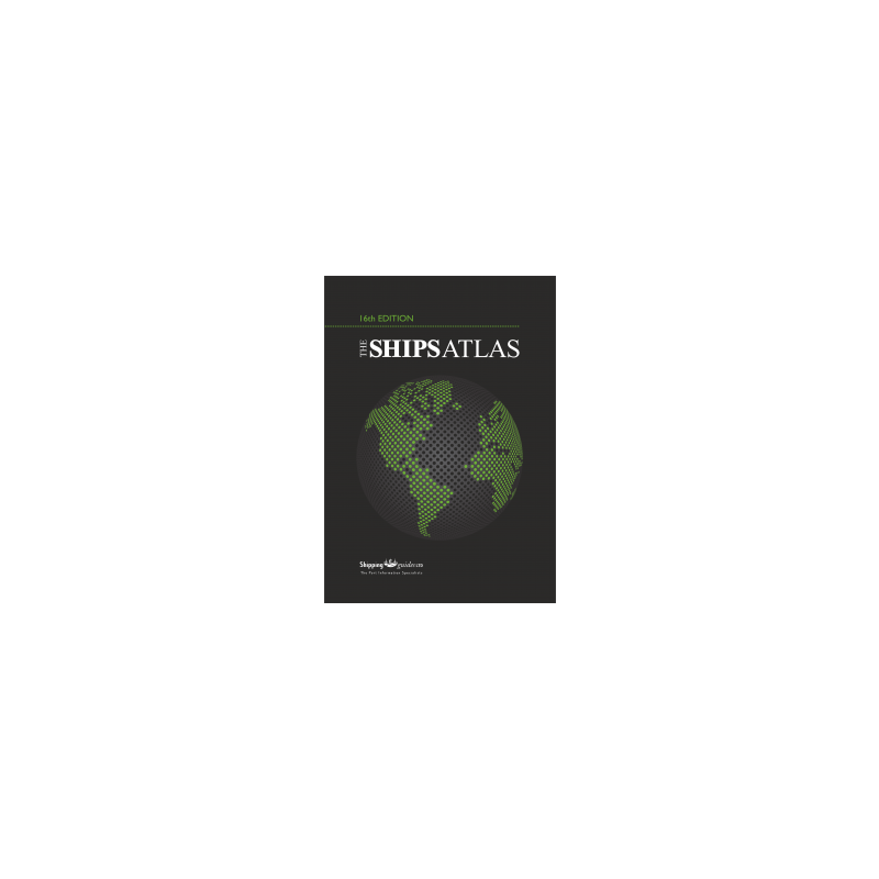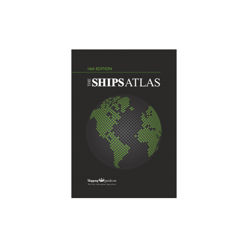



Explore 16,000+ global ports with precise coordinates, port details, and distance tables. This atlas also highlights piracy trends and critical maritime data for professionals.
Data sheet
Specific References
Navigate the World’s Waters with Unmatched Precision
The *Ships Atlas* redefines maritime reference tools, offering an unparalleled database of over 16,000 ports, terminals, and maritime facilities across the globe. Designed for professionals who demand accuracy and efficiency, this hardcover atlas combines detailed cartography with critical operational data, making it a cornerstone for route optimization, port planning, and risk assessment. Whether charting a course through high-traffic shipping lanes or identifying safe harbors in remote regions, this resource delivers the intelligence needed to make informed decisions.
Engineered for Operational Excellence
Weighing 1.5 kg, this 19th edition (2022) is built to withstand the rigors of onboard use while providing instant access to vital information. Each of its 60+ map pages is meticulously crafted to display port locations with exact coordinates, UN/LOCODE identifiers, and key infrastructure details—from maximum vessel drafts to nearby medical facilities. Thematic overlays, such as MARPOL regulatory zones, ensure compliance with international maritime laws, while distance tables streamline voyage planning. This atlas doesn’t just map the world’s ports; it transforms raw data into actionable insights.
Beyond Maps: A Strategic Asset for Maritime Operations
More than a navigational aid, the *Ships Atlas* serves as a strategic tool for mitigating risks and enhancing operational efficiency. It includes up-to-date piracy incident reports, enabling crews to avoid high-risk zones, and provides facility symbols to quickly assess port capabilities—such as bunkering, repairs, and dry dock availability. The exhaustive index, featuring LOCODEs and regional statistics, ensures rapid retrieval of information, reducing delays and improving turnaround times. For professionals who cannot afford guesswork, this atlas is the gold standard in maritime reference.
The *Ships Atlas* is a hardcover reference book in English, weighing 1.5 kg. It covers over 16,000 ports, harbors, and maritime facilities worldwide, with more than 60 pages of detailed maps. The 19th edition (2022) includes exact coordinates, UN/LOCODE identifiers, and key operational data such as maximum vessel size, regional airports, and facility availability.
With decades of expertise in maritime publishing, this brand is a trusted name in the shipping industry. Its publications are relied upon by professionals worldwide for their accuracy, comprehensiveness, and practical utility in navigation, port operations, and compliance. Each edition is meticulously updated to reflect the latest developments in global maritime infrastructure.
The atlas weighs 1.5 kg, making it suitable for both office use and onboard reference without adding significant weight.
The latest edition covers over 16,000 ports, harbors, terminals, and maritime facilities worldwide with precise locations and details.
Yes, the atlas includes exact coordinates for all listed ports, along with the official LOCODE for standardized reference.
Yes, it provides details on regional airports near ports, along with other critical facilities like medical services and dry docks.
Absolutely, it is designed to complement other guides, such as the Guide to Port Entry, for quick and comprehensive reference.
Yes, the 2022 edition includes thematic maps, such as MARPOL regulations, to provide additional context and compliance information.
The atlas specifies the maximum vessel size for each port, ensuring users can plan routes and operations accordingly.
You might also like