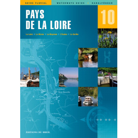
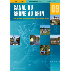
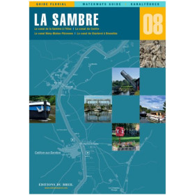
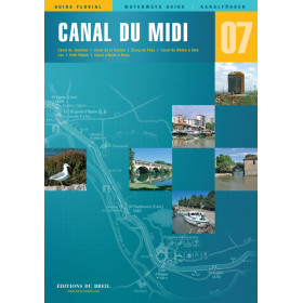
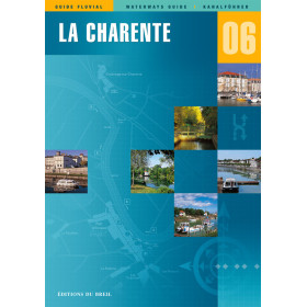
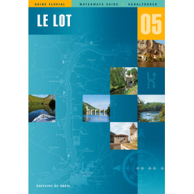
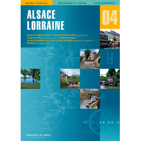
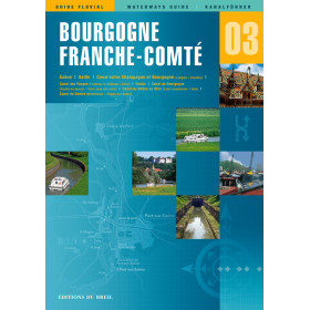
I am sailing on the rivers and canals of Europe
Voici la traduction anglaise, en conservant l’orientation SEO et les mots-clés longue traîne.
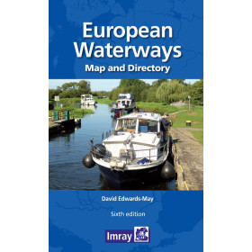
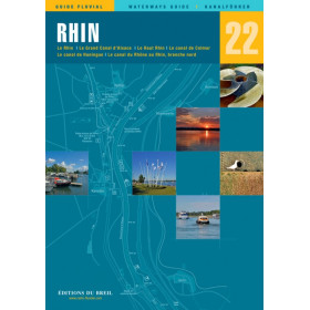
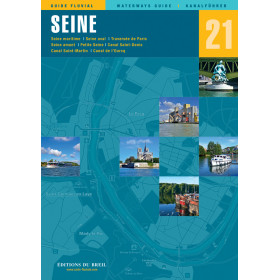
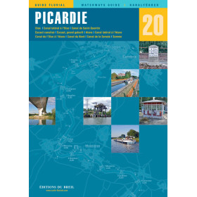
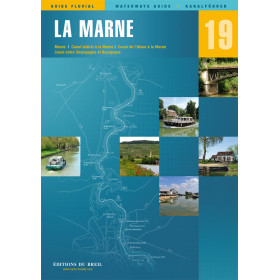
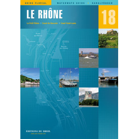
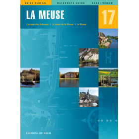
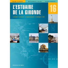
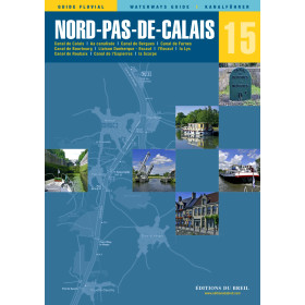
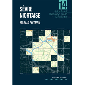
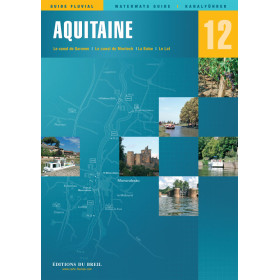
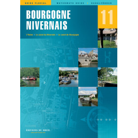
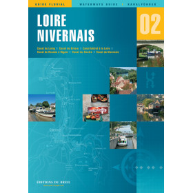
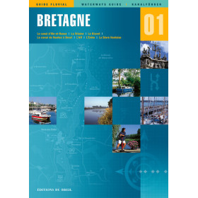
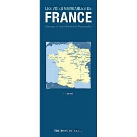
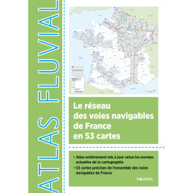
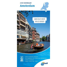
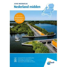
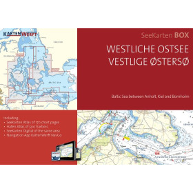
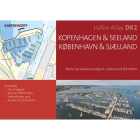
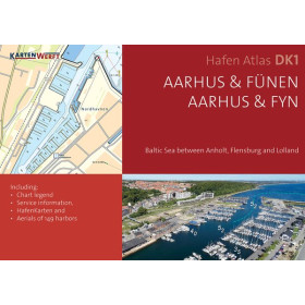
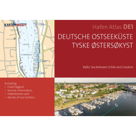
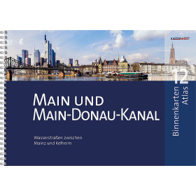
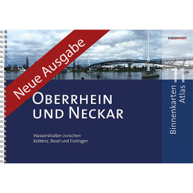
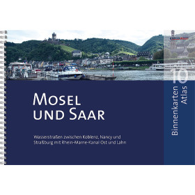
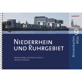
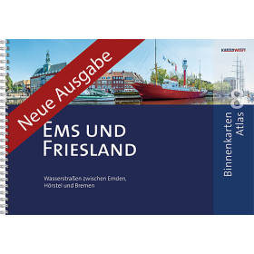
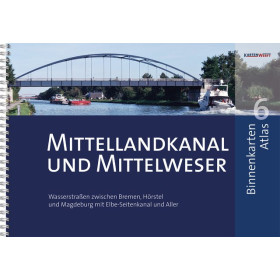
The category “I navigate on European rivers, waterways and canals” brings together inland waterway charts, nautical guides and essential documents for planning navigation in France and throughout Europe. It covers the Seine, Loire, Rhône, Saône, Rhine, Danube, Moselle and Elbe, as well as the main canals of France, Germany, the Netherlands, Belgium and the United Kingdom. Find charts and guides covering inland waterways leading to Paris, Lyon, Strasbourg, Amsterdam, Rotterdam, Antwerp, Brussels, Berlin, Hamburg, Vienna and Budapest. Whether you are planning an inland waterway itinerary, a canal boat cruise or a recreational boating trip on European canals, publishers such as Imray, NV Charts, BSH and other specialist nautical publishers provide charts and guides adapted to different European regions. These publications include information on locks, bridges, water depths, ports, marinas, moorings, navigation hazards and regulations useful for inland navigation.
Je peux également vous proposer une version anglaise encore plus orientée SEO/GEO, avec davantage de termes recherchés comme “European inland waterways”, “river navigation charts”, “canal charts” et “European canal boating guides”.

 Click here to open our interactive map and select your charts