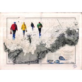
- -5%
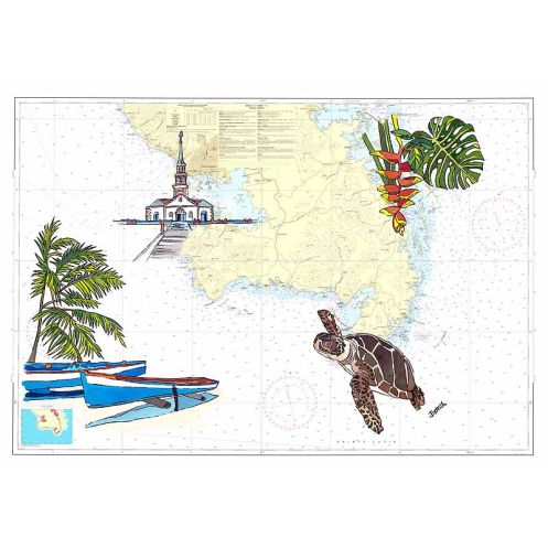




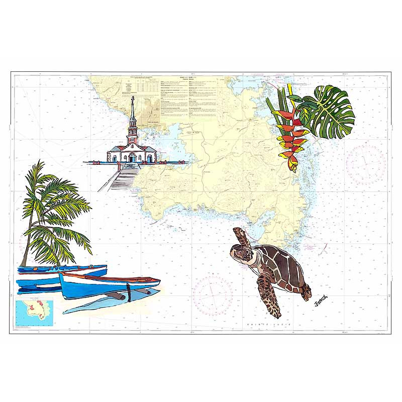
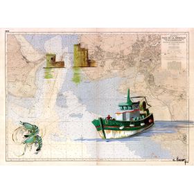
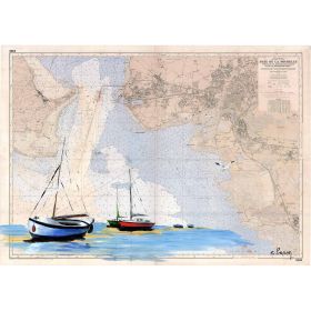
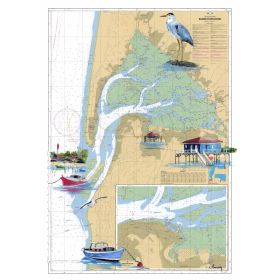
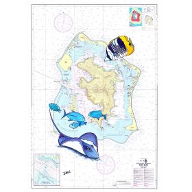
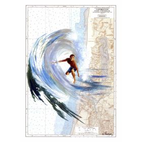
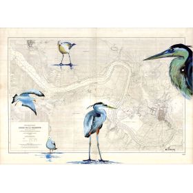
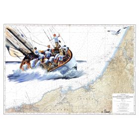
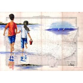
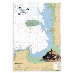
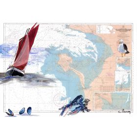
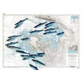
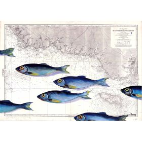
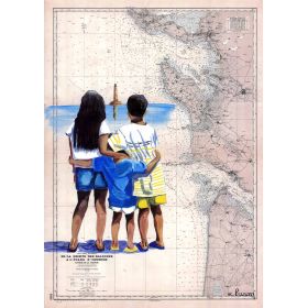
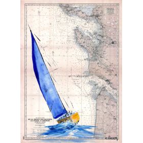
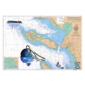
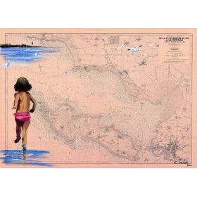
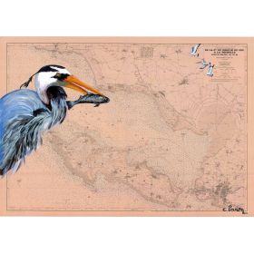
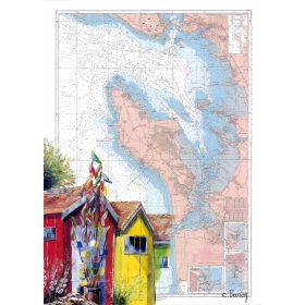
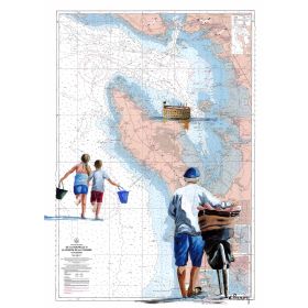
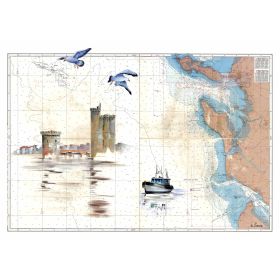
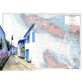
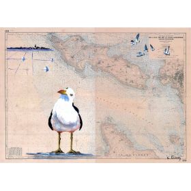
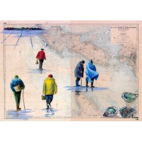
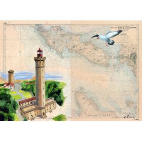
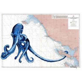
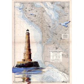
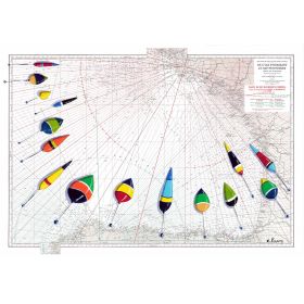
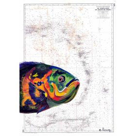
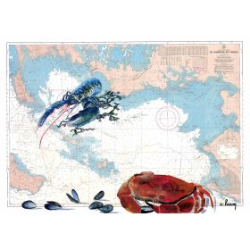
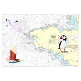
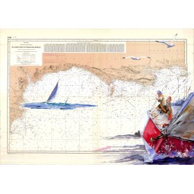
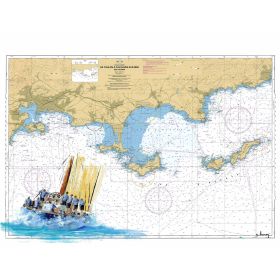
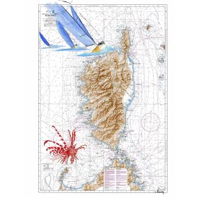
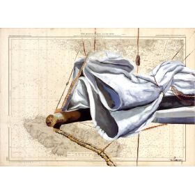
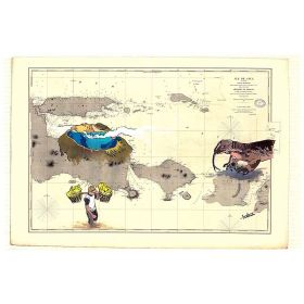
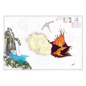
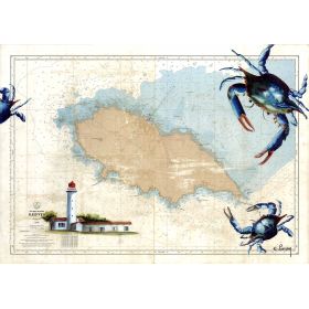
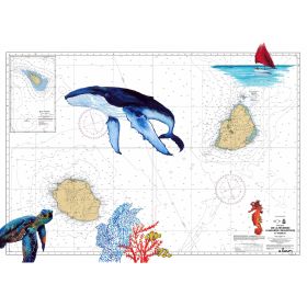
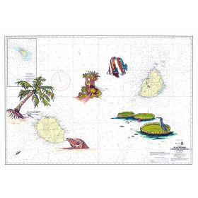
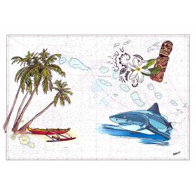
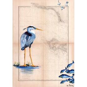
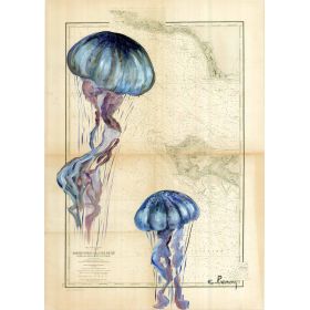
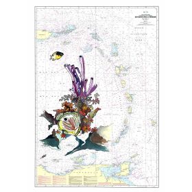
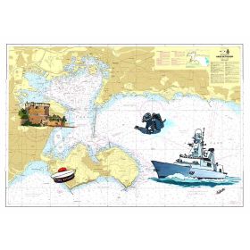
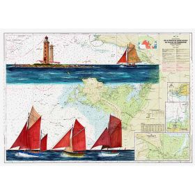
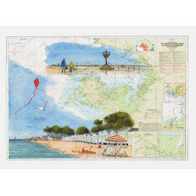
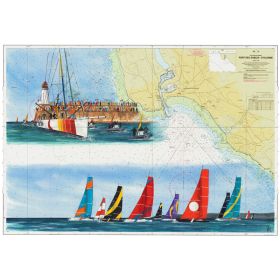
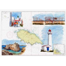
Bring the coastal allure of Fort-de-France into your space with this painted marine map. A high-quality print on sturdy 200 g paper, offered in sizes to suit any decor, from 30 x 40 cm to 65 x 90 cm.
Data sheet
Specific References
Embark on a visual journey to the turquoise waters of Fort-de-France with this stunning painted nautical chart. This artistic reproduction captures the essence of Martinique’s coastal beauty, blending cartographic precision with vibrant, hand-painted details. Perfect for sailors, travel enthusiasts, or anyone who cherishes the sea, this piece brings a touch of tropical elegance to any space.
Transform Your Space with a Piece of the Caribbean
This painted nautical chart is more than just a decorative piece—it’s a celebration of maritime artistry and the breathtaking beauty of Fort-de-France. Designed to evoke the spirit of adventure, it brings the allure of the sea into your home or office with unmatched elegance. Whether you’re a seasoned sailor or simply drawn to the charm of coastal landscapes, this chart offers a unique way to connect with the ocean’s timeless appeal.
A Masterpiece of Precision and Creativity
At the heart of this nautical chart lies a perfect balance between technical accuracy and artistic expression. The original artwork, crafted by a skilled artist, captures the intricate details of Martinique’s coastline, from the bustling harbor of Fort-de-France to the serene bays that dot the island. The reproduction is printed on premium 200 g paper or canvas, ensuring that every hue and contour is faithfully preserved. The result is a piece that not only serves as a functional map but also as a stunning work of art that sparks conversation and admiration.
Versatile Formats for Every Setting
This nautical chart is available in two distinct formats, each tailored to different aesthetic and practical needs. The paper version, shipped rolled in a protective tube, is ideal for those who enjoy the flexibility of framing it themselves or displaying it in a minimalist setting. For a more polished look, the canvas version comes mounted on a sturdy wooden frame, ready to hang and instantly elevate any space. Both options are designed to showcase the chart’s vibrant colors and intricate details, making it a versatile choice for any interior.
French Craftsmanship You Can Trust
Every aspect of this nautical chart reflects the dedication to quality that comes with being made in France. From the selection of premium materials to the precision of the printing process, no detail is overlooked. The result is a durable, fade-resistant piece that retains its beauty for years to come. Whether you’re adding it to a collection or gifting it to a fellow ocean lover, this chart is a testament to the art of fine craftsmanship.
This painted nautical chart is available in two premium formats: high-quality 200 g paper, shipped rolled in a protective tube, or canvas mounted on a sturdy wooden frame for immediate display. Both versions are crafted in France, ensuring exceptional durability and vibrant, long-lasting colors. The chart is designed to capture the coastal beauty of Fort-de-France with precision and artistic flair, making it a standout addition to any decor.
The map is printed on high-quality 200 g paper, ensuring durability and a premium finish.
Yes, a canvas version with a wooden stretcher is available as an alternative to the paper option.
The 30 x 40 cm size is shipped in a protective sleeve, while larger sizes (35 x 50 cm, 50 x 70 cm, and 65 x 90 cm) are rolled and shipped in a protective tube.
The map depicts the area around Fort-de-France in Martinique, with coordinates spanning latitudes 14.2783417 to 14.6850067 and longitudes -61.2913383 to -60.6796317.
No, the product does not include a frame, allowing you to choose a custom framing option that suits your decor.
The 30 x 40 cm size weighs approximately 0.4 kg.
You might also like