- -5%
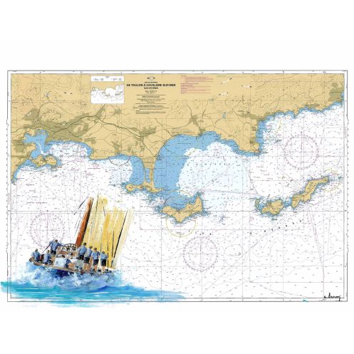




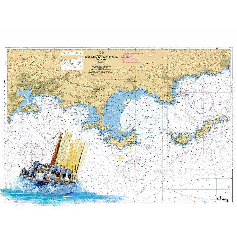
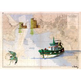
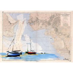
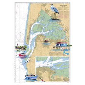
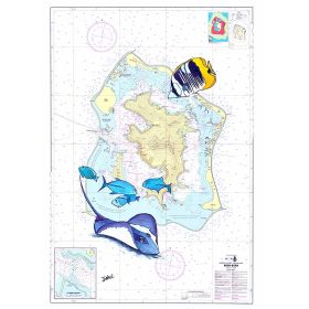
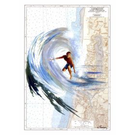
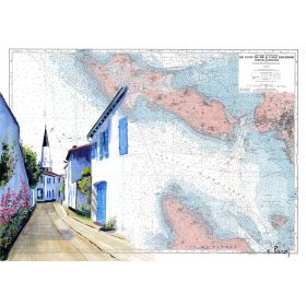
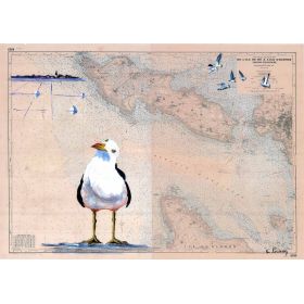
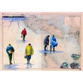
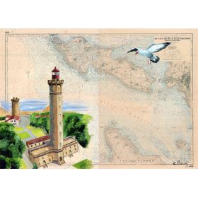
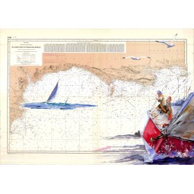
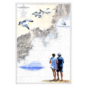
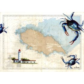
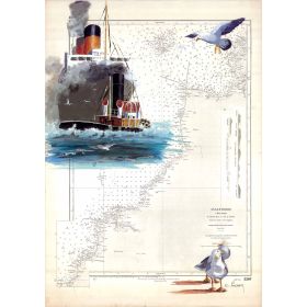
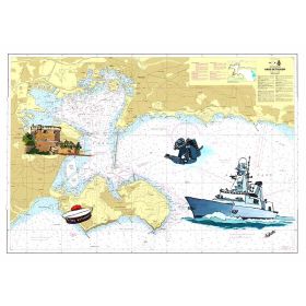
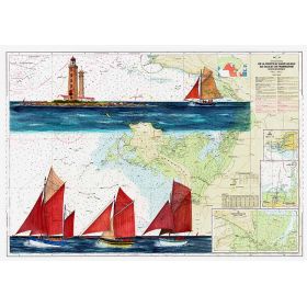
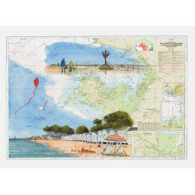
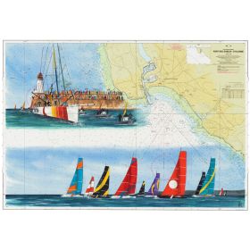
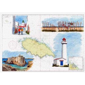
This hand-painted nautical chart reproduces the coastline from Toulon to Cavalaire-sur-Mer, featuring Porquerolles. Premium 200 g paper print, available in multiple sizes.
Data sheet
Specific References
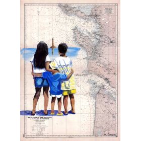
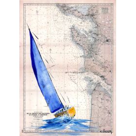
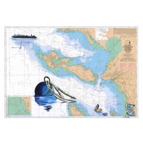
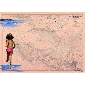
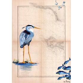
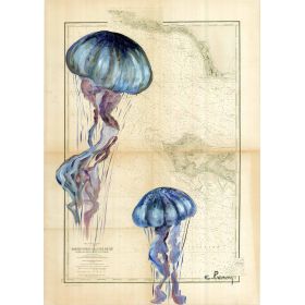
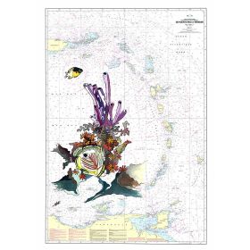
This hand-painted marine chart is a stunning reproduction of the coastal waters stretching from Toulon to Cavalaire-sur-Mer, with a focus on the iconic Porquerolles island. Crafted by a renowned artist, this piece merges the accuracy of traditional marine cartography with the elegance of fine art, making it a must-have for sailors, maritime enthusiasts, and art lovers alike.
Whether you're a seasoned sailor, a coastal dweller, or simply someone who appreciates the beauty of the sea, this hand-painted marine chart is more than just a decorative piece—it’s a celebration of maritime history and artistry. Each reproduction is a tribute to the timeless craft of marine cartography, brought to life with modern precision and care.
Elevate Your Space with a Hand-Painted Marine Chart
Bring the allure of the Mediterranean into your home or office with this exquisite hand-painted marine chart, a faithful reproduction of the coastal waters from Toulon to Cavalaire-sur-Mer. This piece is not just a map—it’s a work of art, meticulously crafted to capture the essence of nautical exploration and the beauty of the sea. Whether you're a sailor, a maritime history buff, or an art enthusiast, this chart adds a touch of sophistication and adventure to any setting.
Artistry Meets Cartography
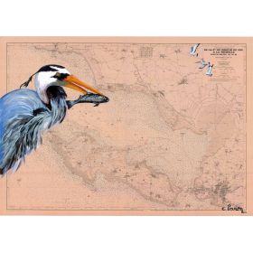
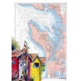
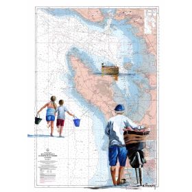
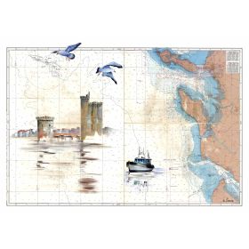
Created by a skilled artist, this marine chart is a testament to the fusion of art and science. Every detail, from the intricate coastal outlines to the subtle shading of the waters, is rendered with precision, reflecting the artist’s deep appreciation for maritime heritage. The chart focuses on the stunning Porquerolles island, a jewel of the French Riviera, making it a captivating centerpiece for any room. The high-quality printing process ensures that the depth and texture of the original painting are preserved, delivering a piece that is as visually striking as it is accurate.
Premium Materials for Lasting Beauty
This marine chart is available in two premium formats to suit your display needs. Opt for the heavyweight 200 g paper, which is perfect for custom framing and offers a sleek, professional look. Alternatively, choose the canvas version, mounted on a sturdy wooden stretcher, for a ready-to-hang gallery finish. Both options are crafted in France, ensuring exceptional quality and durability. Each piece is printed to order, guaranteeing that you receive a product that is as unique as it is beautiful.
Designed for Convenience and Protection
We understand that preserving the integrity of your artwork is paramount. That’s why the paper version is carefully shipped either flat or rolled in a protective tube, depending on the size, to prevent damage during transit. The canvas version is securely packaged in high-resistance cardboard, ensuring it arrives in perfect condition. With multiple sizes available, you can easily find the perfect fit for your space, whether it’s a cozy study or a spacious living room.
This hand-painted marine chart is a high-quality reproduction printed on premium 200 g paper or canvas mounted on a wooden stretcher. Made in France, each piece is printed to order, ensuring exceptional craftsmanship and attention to detail. The chart covers the maritime zone from Toulon to Cavalaire-sur-Mer, with a focus on Porquerolles island, and is available in various sizes to suit different display needs.
The map is printed on high-quality 200 g paper, ensuring durability and a premium finish.
The canvas option includes a wooden stretcher frame, but the price varies depending on the size selected.
The 30 x 40 cm size is shipped in a protective sleeve, while larger sizes are rolled and sent in a protective tube.
The total weight of the 65 x 90 cm map is approximately 0.4 kg, excluding packaging.
Each map is printed to order to ensure the highest quality and accuracy.
The map depicts the maritime area from Toulon to Cavalaire-sur-Mer, including the approach to Porquerolles.
You might also like