- -5%
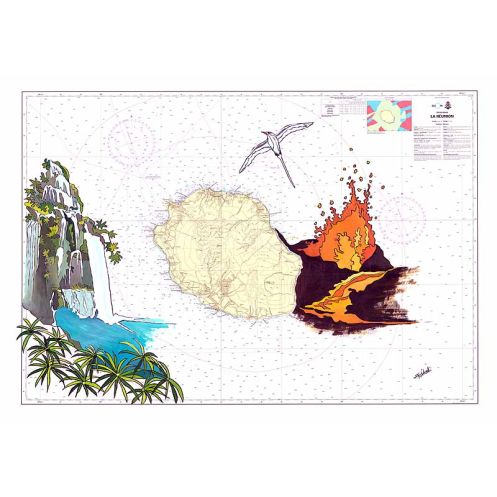




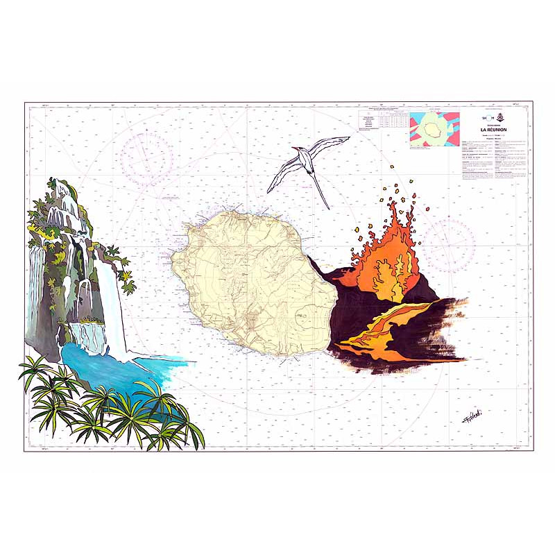
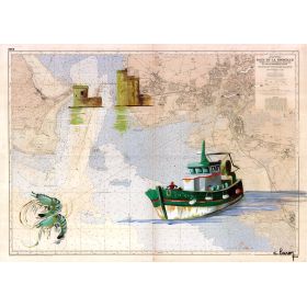
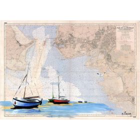
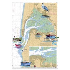
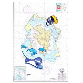
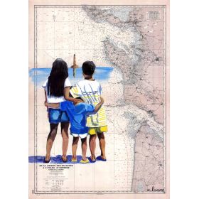
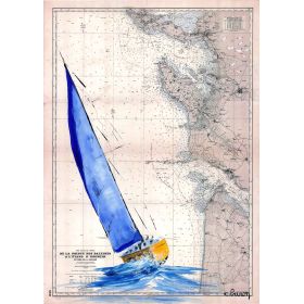
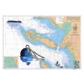
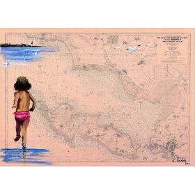
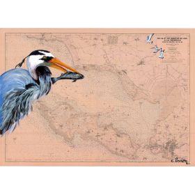
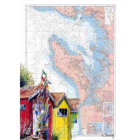
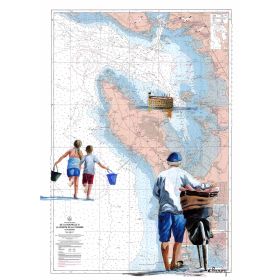
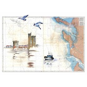
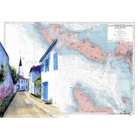
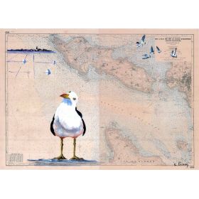
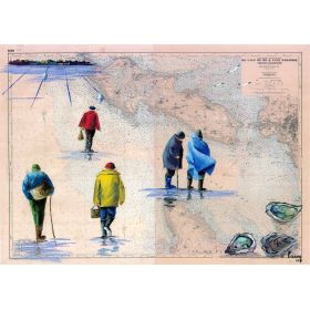
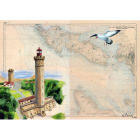
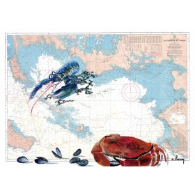
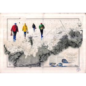
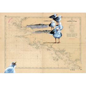
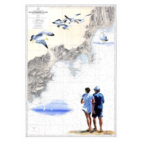
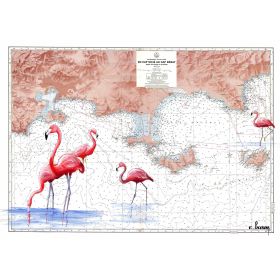
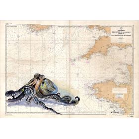
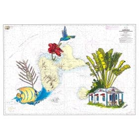
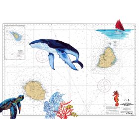
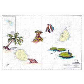
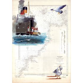
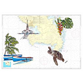
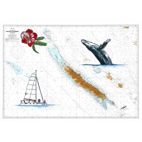
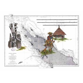
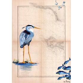
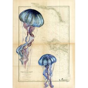
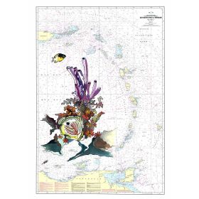
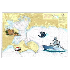
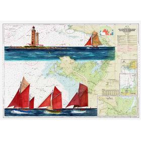
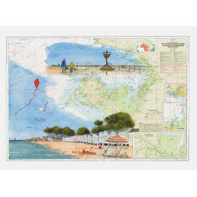
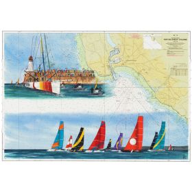
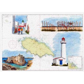
This painted nautical map of Réunion Island merges artistry and cartography in a high-quality print on 200 g paper. Four sizes available for a unique maritime touch.
Made in France.
Data sheet
Specific References
Discover a stunning reproduction of a hand-painted nautical chart, capturing the breathtaking beauty of Réunion Island. This artistic masterpiece blends cartographic precision with creative flair, making it a must-have for maritime enthusiasts, collectors, and lovers of unique decor.
Elevate Your Space with a Nautical Masterpiece
This hand-painted nautical chart of Réunion Island is more than just a decorative piece—it’s a celebration of maritime artistry and cartographic heritage. Designed for those who seek both beauty and authenticity, this reproduction captures the essence of the island’s coastal charm with unparalleled precision. Whether you’re a sailor, a collector, or simply someone who appreciates fine art, this chart brings a touch of the ocean’s allure into your home or office.
Art Meets Cartography
Every detail of this nautical chart has been carefully rendered to reflect the unique geography of Réunion Island. The artist’s hand-painted touch ensures that each line and contour tells a story, making this piece a true conversation starter. The chart is not just a map; it’s a work of art that bridges the gap between functionality and creativity, perfect for those who value both aesthetics and history.
Premium Materials for Lasting Beauty
Crafted on high-quality 200 g paper, this nautical chart is designed to stand the test of time. The paper’s weight and texture ensure vibrant colors and sharp details, while the option to choose between a rolled paper version or a canvas-mounted frame allows you to customize the display to fit your space. Each piece is printed on demand, guaranteeing a fresh and flawless finish every time.
Proudly Made in France
This nautical chart is a testament to French craftsmanship, produced with care and precision in France. The attention to detail and commitment to quality are evident in every aspect of the product, from the choice of materials to the final print. Whether you’re gifting it or keeping it for yourself, this chart is a piece you’ll cherish for years to come.
This hand-painted nautical chart is printed on premium 200 g paper, offering a durable and vibrant finish. Available in multiple sizes, it can be purchased as a rolled paper print or as a canvas-mounted piece stretched on a sturdy wooden frame. Each reproduction is made to order in France, ensuring top-tier quality and craftsmanship.
The map is printed on high-quality paper with a weight of 200 gsm (grams per square meter).
Sizes 35 x 50 cm, 50 x 70 cm, and 65 x 90 cm are shipped rolled in a protective tube to prevent damage.
Yes, the canvas version comes stretched on a wooden stretcher frame, ready for hanging.
The map covers the area between latitudes -20.5133333 to -21.6966667 and longitudes 54.6933333 to 56.5433333.
The map is printed on demand to ensure the highest quality and freshness of the reproduction.
Yes, the 30 x 40 cm size is shipped in a protective sleeve to prevent creasing or damage during transit.
You might also like