- -5%
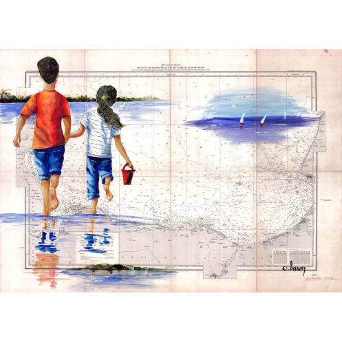




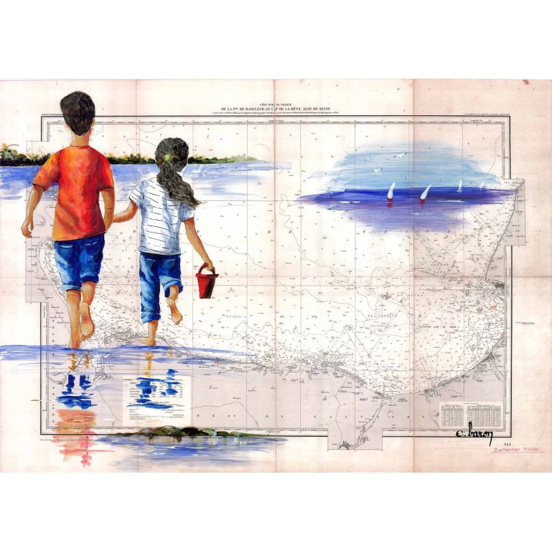
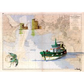
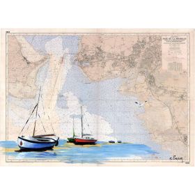
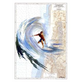
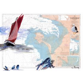
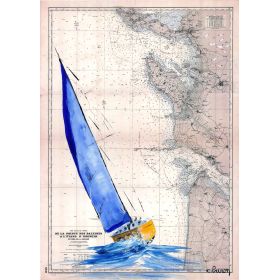
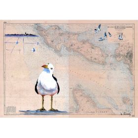
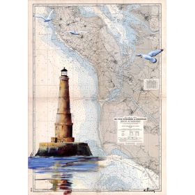
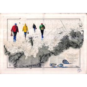
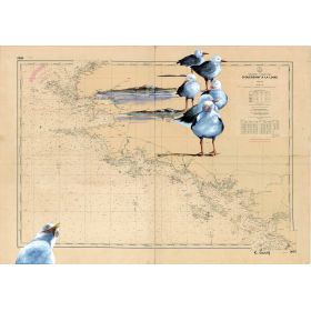
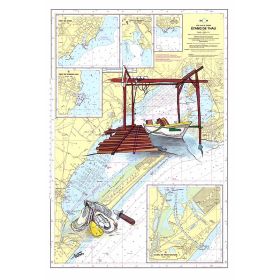
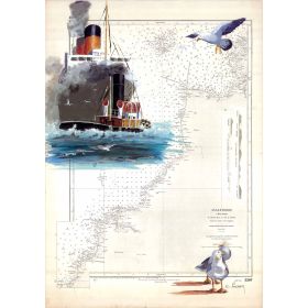
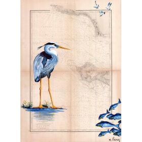
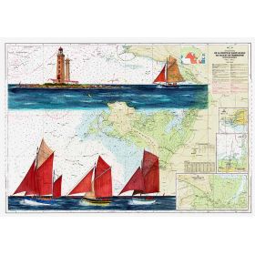
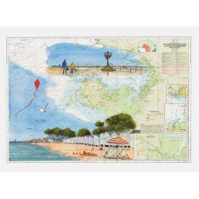
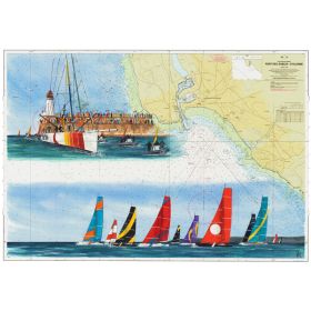
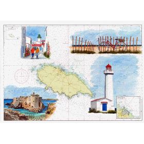
A hand-painted nautical map reproduction showcasing the stunning coastline from Barfleur Point to Le Havre Cape, featuring Cabourg. High-quality print on 200 g paper, made in France.
Data sheet
Specific References
Bring the timeless charm of Normandy’s coastline into your home with this exquisite hand-painted marine chart. Capturing the rugged beauty of the Bay of Seine, from the Pointe de Barfleur to the Cap de la Hève, this piece is a celebration of maritime heritage and artistic craftsmanship. Each reproduction is a faithful homage to the original artwork, meticulously recreated to preserve the authenticity and character of the coastal landscape.
Elevate Your Space with a Piece of Normandy’s Maritime Legacy
This hand-painted marine chart is more than a decorative piece—it’s a tribute to the storied coastline of Cabourg and the Bay of Seine. Reproduced with precision, it captures the essence of traditional maritime cartography while offering a touch of artistic elegance. Whether you’re drawn to its historical significance or its visual appeal, this chart is designed to inspire and captivate.
Premium Quality for Lasting Impact
Printed on thick 200 g paper, this reproduction ensures exceptional clarity and depth, with colors that remain vivid over time. For those who prefer a more tactile experience, the canvas version is mounted on a robust wooden frame, ready to hang and transform any room into a coastal retreat. Each piece is crafted to order, ensuring the highest standards of quality and attention to detail.
Designed for Flexibility and Convenience
Available in a range of sizes, this marine chart adapts effortlessly to any setting, from a cozy study to a spacious living area. The paper version is shipped rolled in protective packaging, making it easy to frame or display as you wish. The canvas edition arrives securely boxed, ensuring it reaches you in perfect condition, ready to make a statement in your home or office.
Proudly Made in France
Rooted in French craftsmanship, this marine chart reflects the country’s deep connection to the sea and its dedication to artisanal excellence. Each reproduction is a celebration of maritime heritage, offering a unique blend of history, art, and functionality. Whether you’re a collector, a sailor, or simply someone who appreciates fine design, this piece is a meaningful addition to your space.
This hand-painted marine chart is a high-quality reproduction of an original artwork, printed on premium 200 g paper or canvas mounted on a wooden frame. Made in France, each piece is produced on demand, ensuring freshness and precision. The chart is available in multiple sizes and shipped with care to preserve its integrity, whether rolled in protective packaging or securely boxed for the canvas version.
The paper used for this map reproduction has a weight of 200 grams per square meter (gsm).
No, the map is available either unframed on 200 g paper or on canvas with a wooden stretcher, but not pre-framed.
The 30 x 40 cm size is shipped in a protective sleeve to ensure it arrives in perfect condition.
Yes, sizes 35 x 50 cm, 50 x 70 cm, and 65 x 90 cm are rolled and shipped in a protective tube.
The map covers the maritime zone from the Barfleur point to the Cape of La Hève in the Seine Bay, including Cabourg.
Yes, each map is printed to order to ensure the highest quality and accuracy.
Yes, the map is available on canvas with a wooden stretcher as an alternative to the 200 g paper option.
You might also like