- -5%
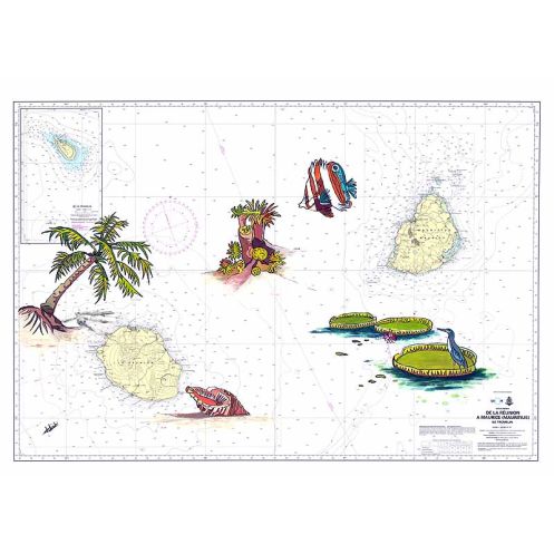




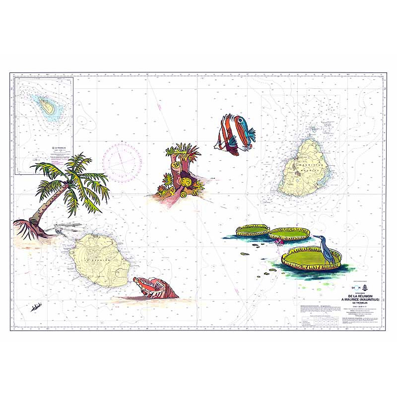
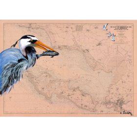
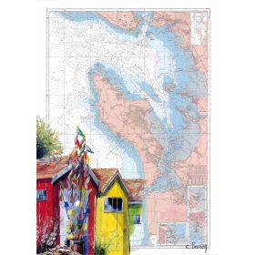
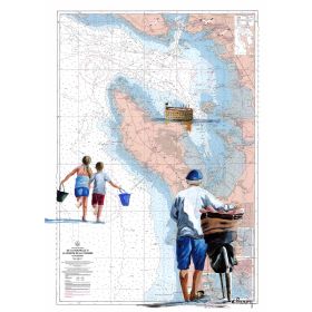
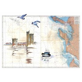
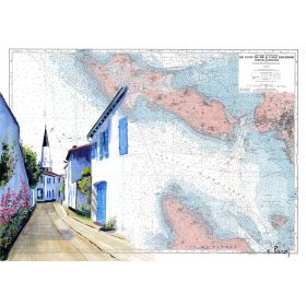
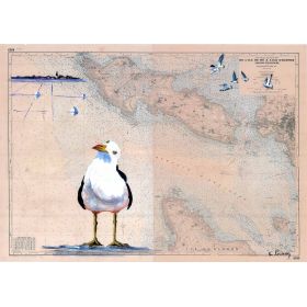
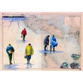
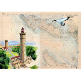
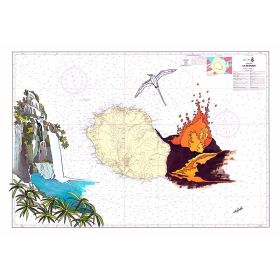
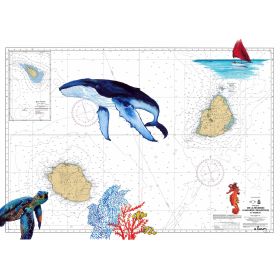
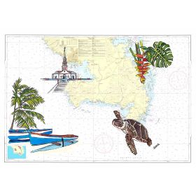
A hand-painted nautical map of the islands from Réunion to Mauritius, featuring a delicate palm tree. High-quality print on 200 g paper, available in multiple sizes for a touch of tropical elegance.
Data sheet
Specific References
This painted nautical chart is a stunning reproduction that captures the essence of the Indian Ocean’s most breathtaking islands. From Réunion’s dramatic volcanic landscapes to Mauritius’ pristine beaches, this piece blends the precision of maritime cartography with the elegance of hand-painted art. Each detail is meticulously crafted to evoke the spirit of exploration and the timeless beauty of these tropical paradises.
More than just a map, this painted nautical chart is a window to the Indian Ocean’s most enchanting destinations. Whether you’re a seasoned sailor, a lover of tropical landscapes, or simply someone who appreciates fine art, this piece will transport you to the shores of Réunion and Mauritius with every glance. Let it inspire your next adventure or become the centerpiece of your collection.
Elevate Your Space with a Nautical Masterpiece
Discover this exquisite painted nautical chart, a harmonious blend of maritime precision and artistic flair. This reproduction captures the allure of the Indian Ocean, stretching from the rugged beauty of Réunion Island to the idyllic shores of Mauritius. Each piece is a testament to craftsmanship, designed to bring a touch of adventure and elegance to any setting.
Artistry Meets Cartography
This nautical chart is more than a map—it’s a work of art. Hand-painted details, such as a graceful palm tree, enhance the visual appeal, making it a perfect addition to both nautical-themed spaces and contemporary interiors. Whether you’re a sailor, a traveler, or an art enthusiast, this piece will captivate your imagination and spark conversations.
Uncompromising Quality and Versatility
Crafted in France, this chart is available in two premium formats: printed on thick 200 g paper or stretched on a canvas mounted on a sturdy wooden frame. The high-quality printing ensures vibrant colors and exceptional durability, while the unmounted option allows you to personalize the framing to match your decor. Smaller sizes are shipped in protective sleeves, while larger formats are carefully rolled in a tube for safe delivery.
A Thoughtful Gift for Every Occasion
Looking for a unique and meaningful gift? This nautical chart is an ideal choice for sailors, travelers, and art lovers. Its timeless design and high-quality craftsmanship make it a cherished addition to any collection. Whether displayed in a home, office, or boat, it brings a sense of adventure and sophistication to any space.
This painted nautical chart is a high-quality reproduction on 200 g paper, offering vibrant colors and exceptional durability. Available in multiple sizes, it can be purchased unmounted for custom framing or as a canvas stretched on a wooden frame. Each piece is crafted in France, ensuring superior quality and attention to detail.
The chart is printed on high-quality 200 g paper, ensuring durability and a premium finish.
The 30 x 40 cm size is shipped in a protective sleeve, while larger sizes (35 x 50 cm, 50 x 70 cm, and 65 x 90 cm) are rolled and shipped in a protective tube.
The canvas option with a wooden stretcher is available as an alternative to the 200 g paper but may come at an additional cost depending on the size.
The 30 x 40 cm size weighs approximately 0.4 kg.
Yes, the chart is unframed, allowing you to choose a frame that matches your decor.
The chart covers the region from Réunion Island to Mauritius, including precise latitude and longitude coordinates for navigation reference.
You might also like