- -5%
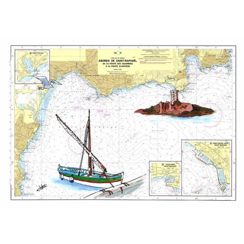




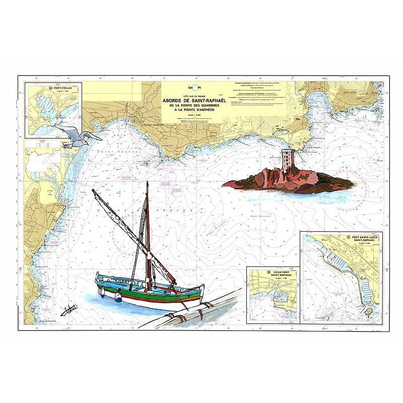
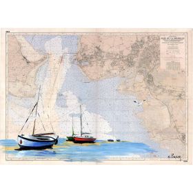
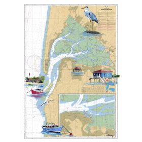
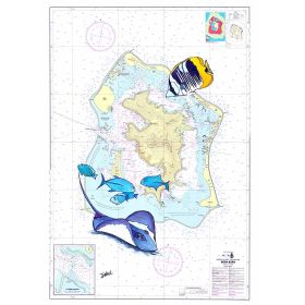
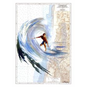
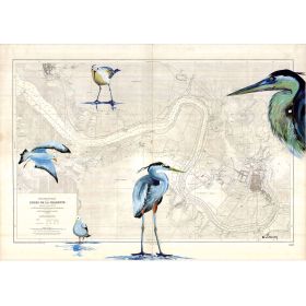
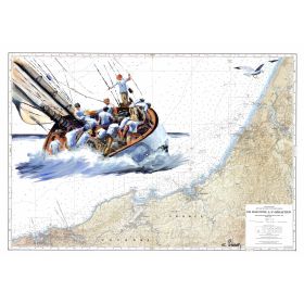
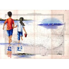
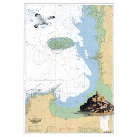
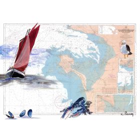
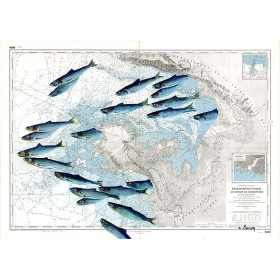
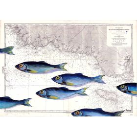
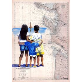
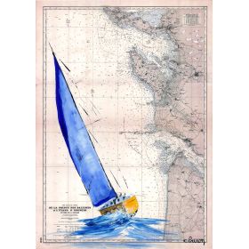
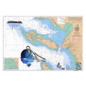
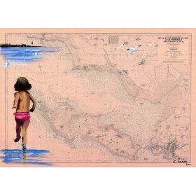
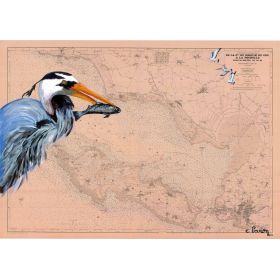
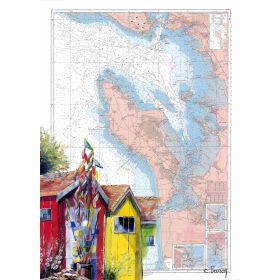
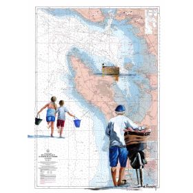
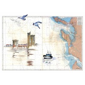
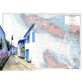
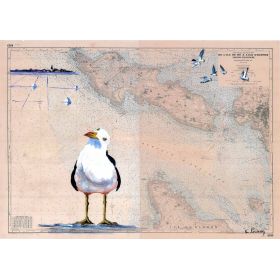
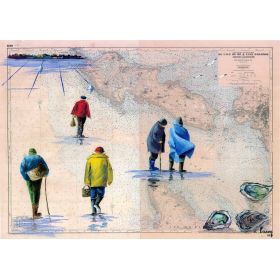
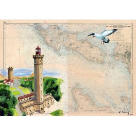
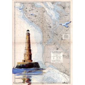
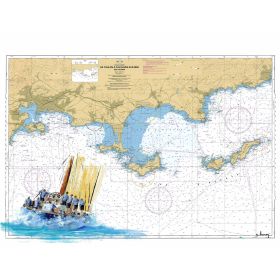
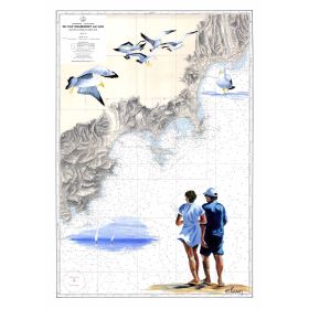
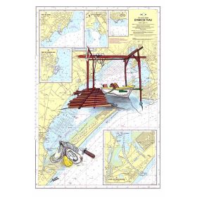
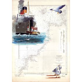
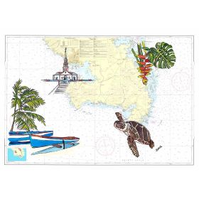
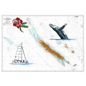
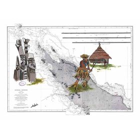
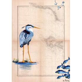
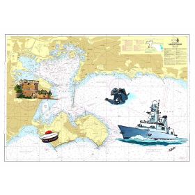
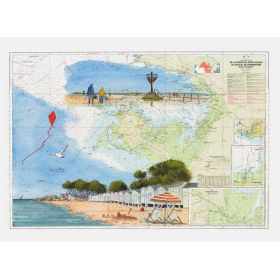
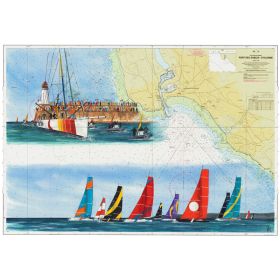
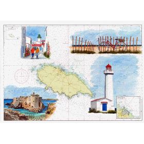
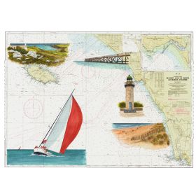
A hand-painted nautical chart of the Saint Raphaël coastline, blending artistic elegance with maritime precision. Printed on premium 200 g paper for a refined finish.
Data sheet
Specific References
Transform your space with this exquisite painted nautical chart, a stunning reproduction of the coastal waters around Saint Raphaël. Perfect for maritime enthusiasts and interior design lovers alike, this piece blends artistic elegance with cartographic precision, making it a unique addition to any home or office.
Elevate your decor with this stunning painted nautical chart of Saint Raphaël’s shores
A perfect blend of art and cartography, this piece brings the beauty of the Mediterranean coastline into your home. Designed for those who love the sea, this chart is more than just a decorative element—it’s a conversation starter, a nod to maritime history, and a work of art all in one. Printed on premium 200 g paper or luxurious canvas, it offers a refined finish that enhances any space, from a cozy study to a modern living room.
Crafted with precision and passion
Each nautical chart is a faithful reproduction of the coastal waters around Saint Raphaël, capturing the intricate details of the shoreline, depths, and landmarks. The artist’s touch adds a layer of elegance, transforming a functional map into a piece of art. Whether you choose the paper version for a sleek, frameless look or the canvas option for a gallery-ready finish, you’re investing in a product that combines tradition with contemporary style. Made to order, every chart is produced with care, ensuring a unique and high-quality addition to your decor.
Designed for versatility and durability
This nautical chart is available in multiple sizes, allowing you to find the perfect fit for your space. The paper version is lightweight and easy to frame, while the canvas option comes mounted on a sturdy wooden frame, ready to hang. Both versions are designed to last, with materials that resist fading and wear, ensuring your chart remains a focal point for years to come. Whether you’re decorating a nautical-themed room or adding a touch of sophistication to a minimalist space, this chart adapts effortlessly to your style.
This painted nautical chart is crafted on premium 200 g paper or high-quality canvas, offering two distinct presentation options. The paper version is shipped rolled in a protective tube, while the canvas version is mounted on a wooden frame and packaged in high-resistance cardboard. Made in France, each piece is printed to order, ensuring a product that is both unique and meticulously crafted.
The paper used has a weight of 200 grams per square meter, ensuring durability and a premium feel.
Yes, the canvas option comes with a wooden stretcher frame included.
The 30 x 40 cm size is shipped in a protective sleeve, while larger sizes (35 x 50 cm, 50 x 70 cm, and 65 x 90 cm) are rolled and shipped in a protective tube.
This product is printed to order, ensuring freshness and customization for each purchase.
The chart covers the area around Saint Raphaël, with latitude coordinates ranging from approximately 43.3456 to 43.4380 and longitude coordinates from approximately 6.7099 to 6.7844.
The product can be framed after purchase, but it is recommended to use a professional framer to handle the paper or canvas properly, especially for larger sizes.
You might also like