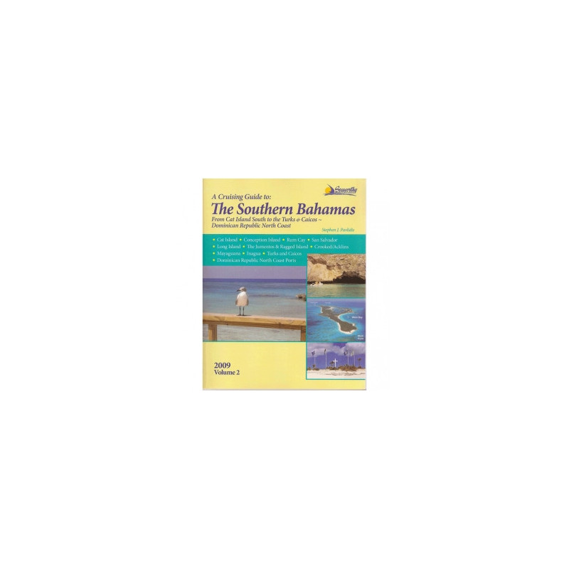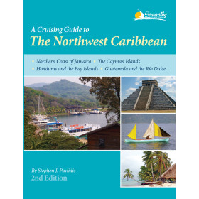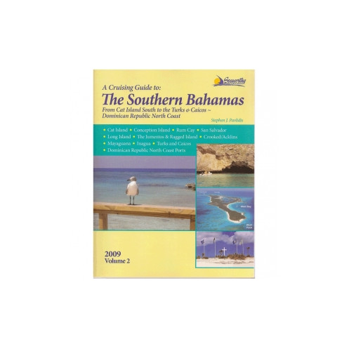




Navigate the southern Bahamas and beyond with confidence using this comprehensive guide. Includes aerial photos, color sketch charts, and expert cruising tips for a seamless sailing experience.
Data sheet
Specific References
Explore the stunning waters of the southern Bahamas and beyond with confidence using this meticulously crafted cruising guide. Designed for sailors and adventurers, this volume delivers unparalleled precision and detail for navigating some of the most breathtaking yet challenging cruising grounds in the Caribbean. From hidden coves to bustling ports, this guide ensures you have the most accurate and up-to-date information at your fingertips.
This guide stands out with its extremely precise hydrographic data, based on independent surveys conducted by author Stephen J. Pavlidis. Unlike generic charts, this book provides over 100 color sketch charts that highlight safe passages, potential hazards, and optimal routes. Whether you're plotting a course through the Jumentos or approaching the Turks and Caicos, these charts offer clarity where traditional maps fall short.
Navigate with ease thanks to detailed waypoints, GPS coordinates, and step-by-step approach instructions. Each section includes:
Discover the best spots to drop anchor with color aerial photos of ports and anchorages. This guide covers:
This guide goes beyond charts and coordinates to offer a holistic cruising experience. Inside, you'll find:
Written by a sailor for sailors, this guide is tailored to the needs of pleasure boaters. The 2012 revised edition ensures that all information is current and relevant, with updates on:
Unlock the Secrets of the Northwest Caribbean with This Essential Cruising Guide
Embark on your next sailing adventure with confidence using *Seaworthy - The Northwest Caribbean - Volume 2*, the definitive guide for cruisers exploring the southern Bahamas and beyond. This comprehensive resource is packed with over 100 color sketch charts, aerial photos of ports, and GPS waypoints to ensure safe and seamless navigation through some of the Caribbean’s most stunning yet challenging waters. Whether you're navigating the shallow banks of the Jumentos or docking in the bustling ports of the Dominican Republic, this guide provides the precision and detail you need to sail with ease.
Precision Hydrographic Data for Safe Navigation
What sets this guide apart is its unmatched hydrographic accuracy, derived from independent surveys conducted by author Stephen J. Pavlidis. Unlike standard charts, this book offers detailed depth readings, hazard warnings, and optimal routes tailored specifically for cruisers. With 296 pages of expertly curated content, including color aerial imagery and step-by-step approach instructions, you’ll have all the tools to avoid shallow waters, navigate tricky passages, and anchor securely in even the most remote locations.
More Than Just a Navigation Tool
Beyond its technical prowess, this guide is a complete cruising companion. It includes detailed descriptions of services at each port—from fuel and water to repairs and provisions—as well as recommended anchorages with seabed conditions and depth readings. Dive enthusiasts will appreciate the detailed dive site descriptions, while history buffs can explore the rich cultural and historical insights provided for each island. The guide also features practical advice for cruising in the Bahamas, including customs procedures, local regulations, and tips for interacting with island communities.
Updated and Reliable Information for Modern Cruisers
The 2012 revised edition ensures that all information is current and relevant, with updates on new marinas, changes in local regulations, and revised waypoints. Whether you're a seasoned sailor or a first-time cruiser, this guide is designed to help you plan your journey efficiently and navigate with confidence. Lightweight and portable at just 2 lbs, it’s the perfect addition to your onboard library, ready to assist you in making the most of your time on the water.
This essential cruising guide is designed for practicality and precision, featuring 296 pages of detailed navigation instructions, color sketch charts, and aerial photos. Measuring 11 × 9 × 1 inches and weighing just 2 lbs, it’s lightweight and easy to store onboard. The paperback edition is durable and portable, making it ideal for use in the cockpit or at the navigation table. With GPS waypoints, hydrographic data, and updated port information, this guide is your trusted resource for exploring the Northwest Caribbean safely and efficiently.
With decades of experience in creating specialized cruising guides, this publisher is renowned for its commitment to accuracy and detail. Their guides are crafted by sailors, for sailors, ensuring that every piece of information is practical, reliable, and tailored to the unique challenges of navigating the Caribbean and beyond. Trusted by cruisers worldwide, their publications are the gold standard for safe and enjoyable sailing adventures.
This guide covers the waters around Cat and Conception Islands, Rum Cay, San Salvador, Long Island, the Jumentos & Ragged Island, Crooked/Acklins, Mayaguana, Inagua, the Turks and Caicos Islands, and northern Dominican Republic ports.
Yes, the guide provides detailed GPS waypoints for navigation, approaches, and routes throughout the covered regions.
The hydrographic data is based on independent surveys conducted by the author, ensuring high precision for safe navigation.
Yes, it features details on diving sites along with other essential cruising information like anchorages and local services.
The guide has 296 pages and is available in a paperback format, measuring 11 × 9 × 1 inches.
This is the revised 2012 edition, incorporating the most current navigational data and updates available at the time of publication.
Yes, the guide includes color aerial photos of ports to assist with navigation and planning.
You might also like