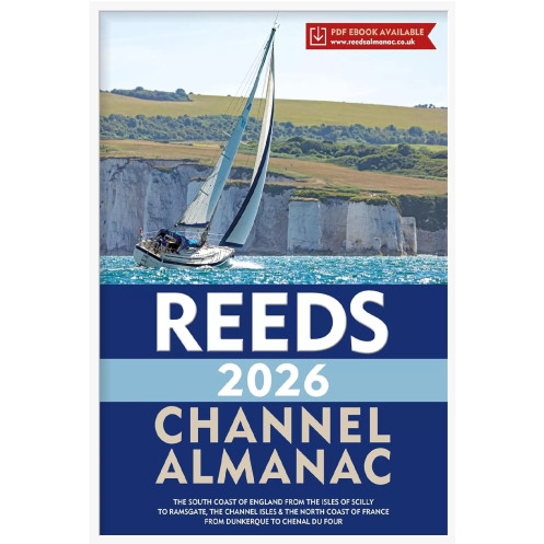





Plan your Channel crossings with the 2026 Almanac. Includes updated tidal data, weather forecasts, safety guidelines, and color harbor charts for southern England and northern France.
Data sheet
Specific References
Navigating the English Channel demands precision, up-to-date information, and reliable references—this almanac delivers all three. Designed for recreational boaters, it provides a comprehensive guide to the waters stretching from the Isles of Scilly to Dover, the Channel Islands, and the northern French coast from Calais to L’Aberwrac’h. Whether you're planning a leisurely coastal cruise or a cross-Channel voyage, this almanac ensures you have the critical data needed for safe and confident navigation.
Stay ahead of the elements with detailed tidal and current tables, essential for plotting efficient and safe routes. The almanac includes clear, easy-to-read charts and diagrams, ensuring you can quickly interpret vital information, even in challenging conditions. With waypoints, buoyage systems, and light characteristics, you’ll have everything required to navigate with accuracy and avoid hazards.
Safety is paramount on the water, and this guide covers all the essentials—from distress procedures and Mayday protocols to radio communication guidelines. It also provides insights into weather forecasting, helping you make informed decisions before setting sail. With this almanac on board, you’ll be prepared for any situation, ensuring peace of mind throughout your journey.
Explore harbors with confidence using full-color port plans that offer clear, detailed layouts of marinas, anchorages, and facilities. The included Reeds Marina Guide 2026 covers the UK, Ireland, and the Channel Islands, providing additional insights into berthing options, services, and local amenities. Whether you're docking for the night or seeking shelter from rough seas, these resources make planning effortless.
Built for real-world conditions, this almanac features a large, legible font and durable paperback binding, making it easy to use even in rough weather. Its compact dimensions ensure it fits comfortably in a navigation station or chart table, while its lightweight design won’t weigh down your vessel. With 320 pages of expertly curated information, it’s the ultimate reference for boaters who demand reliability and precision.
Every edition is meticulously revised to reflect the latest navigational data, regulatory changes, and safety updates. For 2026, you can trust that this almanac provides the most current information available, giving you the confidence to navigate one of the world’s busiest waterways with ease.
Navigate the English Channel with Confidence
The Reeds Channel Almanac 2026 is the definitive guide for boaters tackling the waters between southern England, the Channel Islands, and northern France. Packed with essential navigation data, this almanac is your go-to resource for safe and efficient voyages, whether you're a seasoned sailor or a weekend cruiser. With 320 pages of expertly curated information, it covers everything from tidal streams and waypoints to port plans and emergency procedures, ensuring you’re prepared for every aspect of your journey.
Precision Navigation for Every Voyage
Designed for practical use, this almanac includes detailed tidal and current tables, allowing you to plan routes with accuracy and avoid potential hazards. The full-color port plans and diagrams provide clear visual references, while the large, easy-to-read font ensures information is accessible even in challenging conditions. Whether you're navigating busy shipping lanes or seeking shelter in a quiet harbor, this guide equips you with the tools needed for a smooth and safe passage.
Safety and Convenience in One Compact Guide
Beyond navigation, the Reeds Channel Almanac 2026 prioritizes safety with comprehensive coverage of distress procedures, radio communication protocols, and weather forecasting. The included Reeds Marina Guide 2026 offers additional insights into marinas across the UK, Ireland, and the Channel Islands, making it easier to find berthing options and local services. Lightweight yet durable, this paperback edition is built to withstand the rigors of life on the water, fitting seamlessly into any navigation station.
The Reeds Channel Almanac 2026 is a paperback publication with 320 pages, measuring 10 x 8 inches (26.5 x 19.2 cm) and weighing 2.2 kg. It features full-color port plans and diagrams, a large, legible font for easy reading, and covers the southern coast of England, the Channel Islands, and northern France. The almanac includes tidal and current tables, waypoints, safety procedures, and a free Reeds Marina Guide 2026 for the UK, Ireland, and the Channel Islands.
For decades, this imprint has been a trusted name in maritime publishing, delivering high-quality navigation guides and almanacs tailored to the needs of recreational boaters. Known for their accuracy, reliability, and practicality, their publications are designed to support safe and enjoyable voyages, whether along coastal waters or across open seas. Each edition is meticulously updated to reflect the latest navigational data, ensuring boaters have the most current information at their fingertips.
The tidal and current tables cover the southern coast of England from the Isles of Scilly to Ramsgate, the northern coast of France from Dunkerque to Ouessant, and the English Channel.
All port plans and diagrams are in full color throughout the almanac.
The almanac features a large font size designed for easy reading even in poor weather conditions.
Yes, it comes with a free Reeds Marina Guide 2026, covering marinas in the UK, Ireland, and the Channel Islands.
The almanac measures 10 x 8 inches (19.2 x 26.5 cm) and weighs approximately 2.2 kg.
The primary format is paperback, though some sources indicate a spiral-bound version may also be available.
It includes procedures for Mayday and distress calls, navigation safety advice, radio communications, and weather forecasting.
You might also like