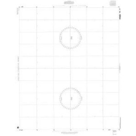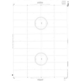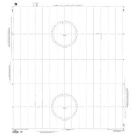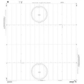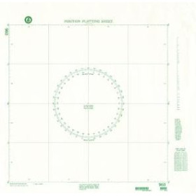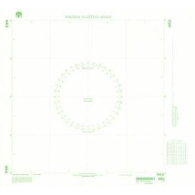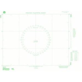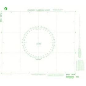



Shom - 0101NQA - Great Circle Chart for Planispheres 0101HSA and 0102HSA
search
  • googlemap
  • Shom - 0101NQA - Great Circle Chart for Planispheres 0101HSA and 0102HSA

Shom - 0101NQA - Great Circle Chart for Planispheres 0101HSA and 0102HSA

€17.25
Tax included
Shom - Service Hydrographique et Océanographique de la Marine
Rolled paper chart In French language
chart printed to order
Estimated preparation time: 0 to 5 days
Shom is the Hydrographic and Oceanographic Service of the French Navy.
shom-0101NQA

Data sheet

Who is the publisher or the author?
Shom
What type of nautical chart is this?
orthodromy chart
On what digital medium is this nautical chart / book stored?
paper medium
What type of format does this paper nautical chart have?
flat chart (rolled in a tube)
From which year does this nautical chart date?
Chart printed or programmed upon order, incorporating the latest updates
Picto
In French language
Rolled paper chart

Specific References

UPC
400000186702
EAN13
4000000180371
New
chart printed to order
Description détaillée
Shom - 0101NQA - Abaque orthodromique pour les planisphères 0101HSA et 0102HSA.

Format : A0

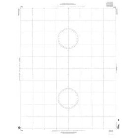
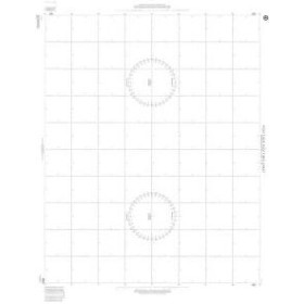
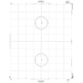
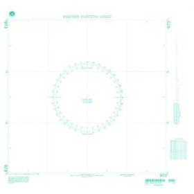
The orthodromic abacus associated with the 0101HSA and 0102HSA planispheres is an essential tool in maritime navigation for determining the shortest routes between two points on the Earth’s surface. An orthodrome corresponds to an arc of a great circle, which represents the shortest possible path. Using this abacus, the navigator can quickly estimate the main elements of the route: initial course, final course, and orthodromic distance, without resorting to complex calculations. The 0101HSA and 0102HSA planispheres, constructed using the Mercator projection, then allow this route to be plotted as loxodromic segments that are easier to follow. The abacus thus serves as a bridge between geometric theory and practical navigation. When used properly, it improves navigational accuracy and helps optimize voyages in terms of time and fuel consumption.

Loading...