




Data sheet
Specific References
Format : GA
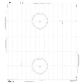
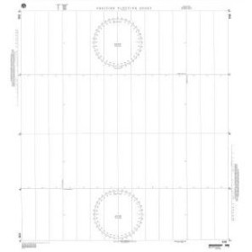
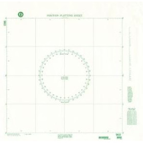
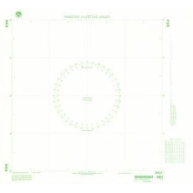
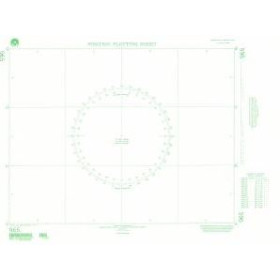
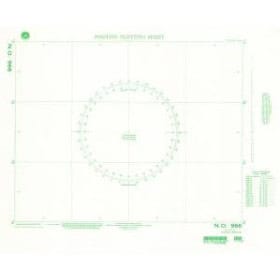
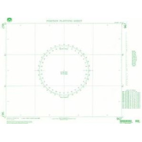
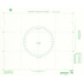
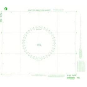
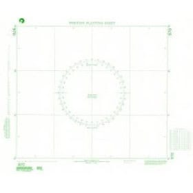
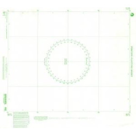
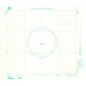
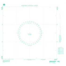
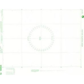
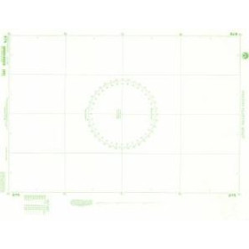
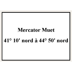
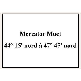
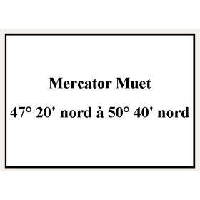
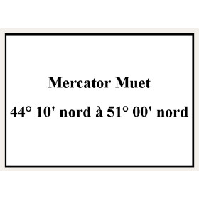
Mercator projection charts produced by the Shom play a vital role in modern maritime navigation. Designed using the projection de Mercator, they allow loxodromic routes to be represented as straight lines, making it easier to maintain a constant course. Produced with high accuracy, these charts include essential information such as depths, hazards, buoys, and navigational aids. The Shom ensures regular updates to guarantee the safety of mariners in response to changes in seabeds and maritime infrastructure. Used by both professional sailors and recreational boaters, they are an indispensable tool for route planning and vessel operation. Despite the rise of digital navigation systems, these paper charts remain strategically important in case of electronic failure, ensuring reliable and continuous navigation at sea.
You might also like