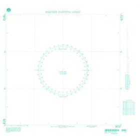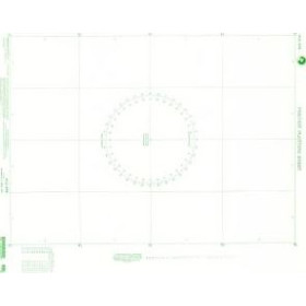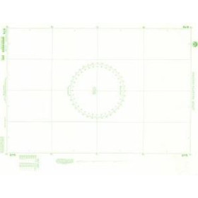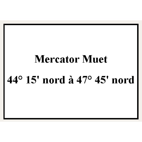



Shom - 9610NQG - Mercator Muet 44° 15' nord à 47° 45' nord
search
  • googlemap
  • Shom - 9610NQG - Mercator Muet 44° 15' nord à 47° 45' nord

Shom - 9610NQG - Mercator Muet 44° 15' nord à 47° 45' nord

€17.25
Tax included
Shom - Service Hydrographique et Océanographique de la Marine
Rolled paper chart In French language
chart printed to order
Estimated preparation time: 0 to 5 days
Shom is the Hydrographic and Oceanographic Service of the French Navy.
shom-9610NQG

Data sheet

Who is the publisher or the author?
Shom
What type of nautical chart is this?
mercator projection chart
On what digital medium is this nautical chart / book stored?
paper medium
What type of format does this paper nautical chart have?
flat chart (rolled in a tube)
From which year does this nautical chart date?
Chart printed or programmed upon order, incorporating the latest updates
Picto
In French language
Rolled paper chart

Specific References

UPC
400000187570
EAN13
4000000181248
New
chart printed to order
Description détaillée

Shom - 9610NQG - Mercator Muet 44° 15' nord à 47° 45' nord

Format : GA

Mercator projection charts produced by the Shom play a vital role in modern maritime navigation. Designed using the projection de Mercator, they allow loxodromic routes to be represented as straight lines, making it easier to maintain a constant course. Produced with high accuracy, these charts include essential information such as depths, hazards, buoys, and navigational aids. The Shom ensures regular updates to guarantee the safety of mariners in response to changes in seabeds and maritime infrastructure. Used by both professional sailors and recreational boaters, they are an indispensable tool for route planning and vessel operation. Despite the rise of digital navigation systems, these paper charts remain strategically important in case of electronic failure, ensuring reliable and continuous navigation at sea.

Loading...