



Data sheet
Specific References
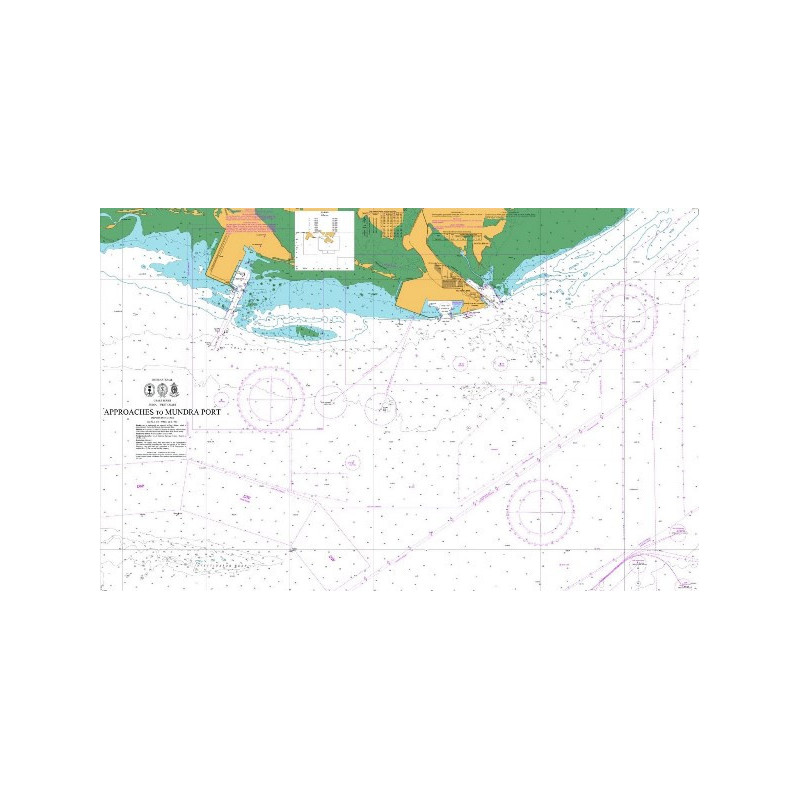
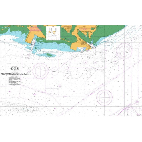
Nautical charts produced by the National Hydrographic Office India (NHO India), part of the Indian Navy, cover a vast maritime area including the Indian coastline, the Arabian Sea, the Bay of Bengal, and key regions across the Indian Ocean.
This region presents highly diverse navigation conditions: tropical waters, monsoon systems, dense maritime traffic, major port hubs (Mumbai, Chennai, Kolkata), and more remote or complex areas such as the Andaman and Nicobar Islands.
These charts are designed for coastal sailors, offshore navigators, and maritime professionals. In such a vast and dynamic environment, selecting the right nautical chart is essential to ensure safety, compliance, and efficiency at sea.
National Hydrographic Office India charts are designed for a wide range of real-world navigation scenarios, from local sailing to international routes.
Indian coastlines include shallow areas, estuaries, and busy port zones. Charts allow safe navigation by identifying channels, hazards, and restricted areas.
India’s ports are among the busiest in Asia. Charts provide detailed information on access routes, traffic zones, and infrastructure.
For merchant vessels and offshore sailors, these charts support reliable route planning across one of the world’s most strategic maritime regions.
Certain zones require special attention due to seasonal weather (monsoons), regulatory constraints, or heavy traffic.
Compared to digital-only navigation, paper charts provide a comprehensive overview essential for anticipating routes and constraints.
In a supervised context, these charts help introduce navigation in tropical and high-traffic environments.
Autonomous skippers rely on these charts for precise route planning and hazard management.
Shipping, fishing, and port operations depend on the accuracy and reliability of these charts.
Detailed buoyage and light information enable use in all visibility conditions.
They enhance GPS, chartplotters, and ECDIS by offering a strategic, big-picture perspective.
These charts help users clearly understand how they fit into real navigation practices.
NHO India charts are available at various scales:
Choosing the appropriate scale is essential depending on your navigation zone.
Proper chart reading is critical to anticipate local constraints and navigate safely.
Charts are produced by the National Hydrographic Office India, ensuring reliable data aligned with international standards.
Changes in buoyage, infrastructure, and routes are communicated through Notices to Mariners.
Using an up-to-date chart is essential, especially in high-traffic and rapidly evolving areas.
Charts are compatible with global reference systems such as WGS 84, ensuring accurate GPS positioning.
Safety relies on both chart quality and disciplined usage.
Electronic systems provide:
However, they do not replace the strategic understanding provided by paper charts.
In the Indian Ocean, combining both formats is essential for safe navigation.
A combination of charts is recommended: general charts for offshore navigation and detailed charts for coastal areas.
No. It should be used alongside GPS, weather data, and other navigation resources.
Whenever a new edition is released or significant updates occur.
Yes. These charts are compatible with modern GPS systems using the WGS 84 reference.
Each hydrographic office covers a specific region. NHO India charts are the official reference for Indian waters.
They provide a global overview and a reliable backup in case of electronic system failure.
National Hydrographic Office India nautical charts are essential tools for navigating Indian waters and the wider Indian Ocean. Their accuracy, reliability, and depth of information make them indispensable for any serious navigation project.
Choosing the right chart, keeping it updated, and using it correctly ensures safer, more efficient, and better-controlled navigation. Nautic Way supports this approach by offering a carefully curated selection tailored to the needs of demanding sailors.
National Hydrographic Office India nautical charts are updated daily and printed only on demand. On the day of printing, they incorporate the latest updates. The chart's publication year is indicated on it.
We strive to offer only the latest versions of nautical charts incorporating the most recent updates.
All nautical charts, whether paper or digital, are printed on demand and include the latest updates. In accordance with Article L221-28 of the French Consumer Code, the right of withdrawal cannot be exercised for goods liable to become obsolete rapidly. Paper charts and digital charts are neither returnable nor exchangeable. Consequently, these orders are final upon placement by the Customer, according to the terms and conditions specified in these General Terms and Conditions of Sale.
You might also like