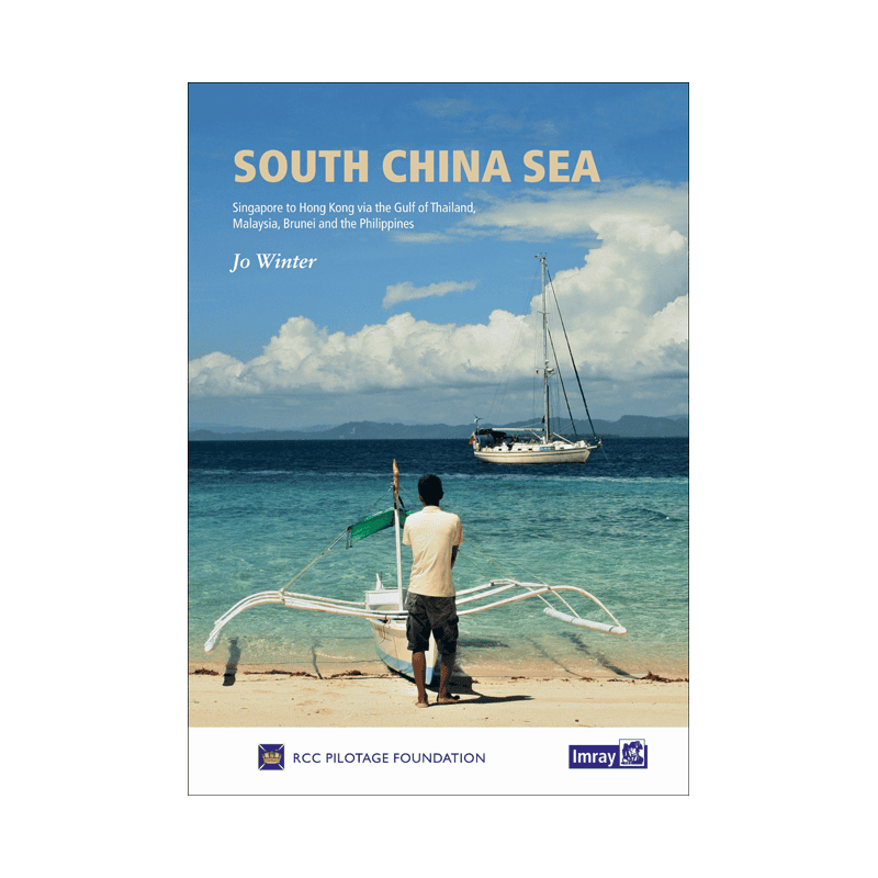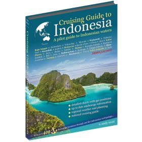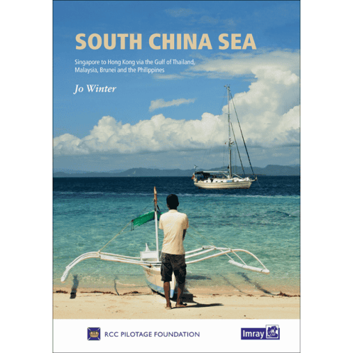




Cruise the South China Sea with this expert guide, covering Singapore to Hong Kong. Includes detailed charts, weather tips, and safe routing for Thailand, Malaysia, the Philippines, and more.
Data sheet
Specific References
Navigate the South China Sea with confidence using this comprehensive nautical guide, meticulously crafted for sailors seeking adventure in one of the planet’s most breathtaking yet under-explored regions. Spanning from Singapore to Hong Kong, this guide covers the Gulf of Thailand, Malaysia, Brunei, the Philippines, Taiwan, and Cambodia—offering unparalleled insights into thousands of miles of pristine coastlines, hidden islands, and navigable rivers. Whether you're planning a transit or an extended cruise, this book is your indispensable companion for safe and unforgettable voyages.
Written by Jo Winter for the Royal Cruising Club Pilotage Foundation, this guide builds on the legacy of the acclaimed *Cruising Guide to Southeast Asia, Volume I* by Stephen Davies and Elaine Morgan. Updated and expanded, it reflects 12 years of sailing experience aboard *Brother Wind*, a 45-foot Island Packet, ensuring practical, real-world advice for every mariner. From weather patterns—including typhoon preparedness—to piracy risk zones and cultural considerations, this guide equips you with the knowledge to plan your journey strategically and safely.
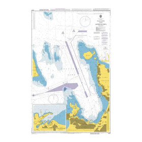
Navigate with ease thanks to clear, full-color navigation directions, small-scale overview plans, and large-scale detailed charts for ports and anchorages. Every page is designed to enhance situational awareness, with vibrant photos highlighting key landmarks, hazards, and points of interest. Whether you're threading through narrow straits or anchoring in secluded bays, the guide’s visual aids ensure you stay on course and make informed decisions at every turn.
This isn’t just a guide—it’s a trusted advisor for sailors who demand accuracy and depth. Praised by *Yachting Monthly* as an "impressive book" with "practical advice, cultural sensitivity, and a focus on remote areas," it bridges the gap between technical precision and real-world usability. Whether you're a seasoned sailor or a first-time visitor to the region, you’ll find invaluable tips for everything from provisioning to local customs, ensuring a smooth and enriching experience.
Covering over 600,000 square miles of ocean, this guide transforms the South China Sea from a daunting expanse into a navigable paradise. Discover hidden gems, avoid common pitfalls, and immerse yourself in the region’s natural beauty and cultural richness. Available in print for easy reference on deck or as a PDF for digital convenience, it’s the ultimate tool for sailors ready to explore one of the world’s last great cruising frontiers.
Explore the South China Sea with Unmatched Confidence and Detail
This nautical guide is your ultimate resource for navigating one of the most diverse and captivating cruising regions on Earth. Designed for sailors who seek both adventure and precision, it covers an expansive area from Singapore to Hong Kong, including the Gulf of Thailand, Malaysia, Brunei, the Philippines, Taiwan, and Cambodia. With over 600,000 square miles of coastline, islands, and navigable rivers, this guide provides the tools you need to explore safely and efficiently.
Built on a Decade of Sailing Expertise
Created by Jo Winter for the Royal Cruising Club Pilotage Foundation, this guide is the successor to the renowned *Cruising Guide to Southeast Asia, Volume I*. It incorporates 12 years of firsthand experience sailing aboard *Brother Wind*, a 45-foot Island Packet, ensuring that every piece of advice is practical, tested, and reliable. Whether you're planning a short transit or an extended cruise, you'll benefit from insights on weather patterns, including typhoon preparedness, piracy risk zones, and cultural tips to enhance your journey.
Navigate with Precision Using Full-Color Charts and Visuals
This guide stands out with its full-color navigation directions, small-scale overview plans, and large-scale detailed charts for ports and anchorages. Every page is designed to provide clarity and confidence, with vibrant photos illustrating key landmarks, hazards, and points of interest. Whether you're navigating narrow straits or anchoring in secluded bays, the visual aids ensure you stay on course and make informed decisions.
Practical Advice for Every Sailor
Praised by *Yachting Monthly* for its "practical advice, cultural sensitivity, and focus on remote areas," this guide is more than just a navigational tool—it’s a trusted companion for sailors. It offers invaluable tips on provisioning, local customs, and safety measures, ensuring a smooth and enriching experience. Available in print for easy reference on deck or as a PDF for digital convenience, it’s the perfect blend of technical precision and real-world usability.
This nautical guide is a printed book, published in 2019 as the first edition, weighing 1600 grams. It covers an expansive area of over 600,000 square miles, from Singapore to Hong Kong, including the Gulf of Thailand, Malaysia, Brunei, the Philippines, Taiwan, and Cambodia. The guide features full-color navigation directions, detailed charts, and vibrant photos, all based on 12 years of sailing experience aboard a 45-foot Island Packet. It is available in both print and PDF formats for added convenience.
With a legacy of providing high-quality nautical publications, this publisher is renowned for its detailed and reliable guides tailored for sailors. Their works are trusted by mariners worldwide for their accuracy, practical insights, and comprehensive coverage of some of the most challenging and beautiful cruising grounds on the planet.
The guide covers an area of approximately 600,000 square miles, including coastlines, islands, and navigable rivers.
Yes, it includes small-scale orientation plans and large-scale detailed plans for ports and anchorages.
Yes, it features an introductory section on weather patterns, typhoon risks, piracy hotspots, and cruising planning advice.
Yes, a PDF version is available on Google Play Books.
The printed guide weighs approximately 1600 grams.
The research was conducted using a 45-foot Island Packet sailboat named Brother Wind.
Yes, it provides cultural sensitivity tips and highlights lesser-known, isolated areas.
You might also like