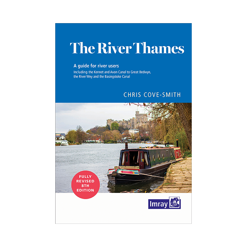


Imray - The river Thames book
search
  • googlemap
  • Imray - The river Thames book
  • Imray - The river Thames book

Imray - The river Thames book

€19.65
Tax included
Imray
In English language
Estimated preparation time: 5 to 14 days

Navigate the River Thames with confidence using this essential 2022 guide, covering Teddington to Cricklade. Packed with detailed maps, navigation tips, and facility listings for a seamless journey.

INL0262

Data sheet

What is the classification?
navigation book
Who is the publisher or the author?
Chris Cove-Smith
On what digital medium is this nautical chart / book stored?
paper medium
From which year does this nautical chart date?
2022
What type of navigation book is this?
pilot
Picto
In English language

Specific References

UPC
400000055442
EAN13
9781786791849
New
Description détaillée

The River Thames Book

Guide in English
Paperback edition

Your Essential Companion for Navigating the River Thames

Discover the most trusted and comprehensive guide for boaters exploring the non-tidal stretches of the River Thames. Whether you're a seasoned sailor or a weekend cruiser, this meticulously updated guide ensures you navigate with confidence from Teddington to the river’s source in Gloucestershire. Covering over 150 miles of waterways, including key tributaries like the River Wey, Basingstoke Canal, and Kennet & Avon Canal, this book is your go-to resource for safe and enjoyable journeys.

Expert Navigation Insights at Your Fingertips

Written by renowned author Chris Cove-Smith, this guide combines decades of nautical expertise with practical, up-to-date information. Every page is designed to enhance your boating experience, featuring clear, detailed maps that highlight navigation routes, hazards, and points of interest. The spiral-bound format ensures durability and ease of use, allowing you to lay the book flat while referencing critical details on the go. With full-color illustrations and precise descriptions, you’ll effortlessly plan your route and avoid common pitfalls.

Comprehensive Amenities and Local Knowledge

Beyond navigation, this guide is an indispensable almanac for life on the water. It provides an exhaustive directory of facilities along each section of the river, including marinas, moorings, fuel stations, water points, and waste disposal sites. Whether you need a quiet anchorage, a repair service, or a nearby pub, you’ll find everything you need to make your trip seamless. The 2022 edition also includes updated information on locks, bridges, and local regulations, ensuring you stay compliant and informed.

Designed for Boaters, by Boaters

Tailored specifically for recreational boaters, this guide strikes the perfect balance between technical precision and user-friendly readability. Its compact A5 size fits easily in a cockpit or backpack, while the spiral binding keeps pages secure in windy conditions. The book’s lightweight yet robust design makes it ideal for both day trips and extended cruises. With coverage extending from the Thames Barrier to Cricklade and beyond, it’s the only guide you’ll need to explore one of England’s most iconic waterways.

Stay Ahead with the Latest Updates

The 8th edition reflects the most current data, including changes to navigation channels, new facilities, and updated local contacts. Whether you’re plotting a leisurely cruise or a multi-day adventure, this guide ensures you have the most accurate and reliable information at your fingertips. Trusted by thousands of boaters, it’s the definitive resource for mastering the River Thames and its connected waterways.

Unlock the Full Potential of Your Thames Adventure
Navigating the River Thames just got easier with this all-in-one guide, meticulously crafted for boaters who demand accuracy and convenience. The 8th edition, published in May 2022, is the most up-to-date resource for exploring the non-tidal Thames from Teddington to its source in the Cotswolds, as well as key tributaries like the River Wey and Kennet & Avon Canal. With 236 pages of expertly curated content, this guide is your passport to a seamless and enjoyable journey on one of the UK’s most beloved waterways.

Precision Navigation for Every Mile
This guide leaves no stone unturned, offering detailed maps and step-by-step navigation instructions for over 150 miles of river. Whether you're passing through bustling locks or serene countryside stretches, the book’s clear, full-color charts highlight critical waypoints, hazards, and landmarks. The spiral-bound design ensures durability and easy handling, even in challenging conditions, while the compact A5 format makes it a perfect fit for any boat’s navigation station.

Everything You Need, Where You Need It
Beyond navigation, this guide serves as a complete almanac for life on the water. It includes an exhaustive directory of facilities, from marinas and moorings to fuel stops, water points, and waste disposal sites. Each section of the river is broken down with precise details on amenities, ensuring you’re never left searching for essential services. Updated for 2022, it also covers the latest changes to locks, bridges, and local regulations, so you can cruise with confidence.

Built for Boaters, Backed by Expertise
Authored by Chris Cove-Smith, a respected name in nautical publishing, this guide blends technical precision with practical advice. Its lightweight yet sturdy construction (weighing just 1.2 kg) makes it ideal for both day trips and extended voyages. Whether you're a seasoned sailor or a first-time cruiser, this book is designed to enhance your experience, providing the tools you need to explore the Thames and its connected waterways safely and efficiently.

This essential guide is packed with practical features to support your journey on the River Thames. The 8th edition, released in May 2022, spans 236 pages of full-color content, including detailed maps, navigation instructions, and an exhaustive directory of facilities. Its A5 spiral-bound format ensures durability and ease of use, while the lightweight design (1.2 kg) makes it a convenient companion for any boating adventure.

For over a century, this publisher has been a trusted name in nautical guides, renowned for its commitment to accuracy and practicality. Specializing in waterway navigation, their publications are crafted by experts and designed to meet the needs of boaters worldwide. Each guide is meticulously researched and updated to ensure reliability, making them indispensable tools for safe and enjoyable voyages.

  • Navigate with confidence using this comprehensive guide, offering detailed maps, up-to-date navigation instructions, and an exhaustive directory of facilities along the River Thames. Its durable spiral-bound design and compact A5 format make it easy to use on the go, while the full-color pages enhance readability. Trusted by boaters for its accuracy and practicality, this guide ensures you’re always prepared for every mile of your journey.
  • Stay informed with the latest updates, including changes to locks, bridges, and local regulations, all tailored to the 2022 edition. The lightweight yet robust construction is perfect for both day trips and extended cruises, while the expertly curated content covers over 150 miles of waterways, including key tributaries. Whether you're a seasoned sailor or a weekend cruiser, this guide is your ultimate companion for exploring the Thames safely and efficiently.
What areas does this guide cover beyond the main river?

The guide includes the non-tidal section from Teddington to the source in Gloucestershire, as well as the River Wey, Basingstoke Canal, and the Kennet & Avon Canal up to Great Bedwyn.

Is this guide suitable for tidal sections of the river?

No, this guide focuses exclusively on the non-tidal sections of the river, starting from Teddington.

How detailed are the navigation maps in this guide?

The guide features clear and detailed maps to support navigation, including updated information on facilities along each section.

What type of binding does this book use?

The book uses a spiral binding, making it easy to lay flat for convenient reference while navigating.

How current is the information in the 8th edition?

The 8th edition was published in May 2022, ensuring the navigation details and facilities listed are up-to-date as of that time.

Does this guide include information on mooring and docking facilities?

Yes, it provides an exhaustive list of available facilities, including mooring and docking options, along the entire covered route.

What is the weight of the book for shipping purposes?

The shipping weight of the book is approximately 660 grams, while the actual weight is about 1.2 kilograms.

Loading...