




Data sheet
Specific References
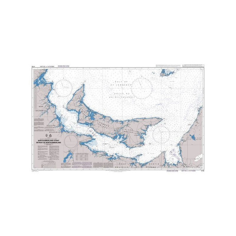
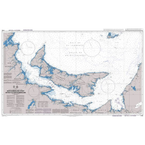
Admiralty nautical charts are published by the UK Hydrographic Office (UKHO), one of the most respected hydrographic authorities worldwide. They are an international reference standard for maritime navigation, particularly for offshore sailing, commercial shipping routes, and regions beyond national chart coverage.
Available on the Nautic Way online maritime bookstore, Admiralty charts provide comprehensive global coverage, making them essential tools for professional mariners, offshore sailors, and experienced yachtsmen seeking reliable, standardized, and internationally recognized cartography.
Choosing an Admiralty chart means addressing a critical need: navigating safely across international waters, planning long passages, and ensuring reliable situational awareness at sea.
An Admiralty chart is designed to provide a highly accurate and standardized representation of the marine environment, supporting safe decision-making in all navigation contexts.
Admiralty charts are commonly used for:
Admiralty charts offer:
Admiralty charts are designed for demanding navigation environments and are best suited for users with a solid understanding of marine navigation.
These charts provide a strategic overview, essential for safe offshore navigation.
Admiralty charts follow strict international standards, ensuring consistent interpretation anywhere in the world.
Choosing the right scale is critical to match the chart to each phase of navigation.
An Admiralty chart includes:
An Admiralty chart is a decision-making tool, not just a positioning aid.
The UKHO provides:
Keeping charts up to date is essential for maintaining safe navigation standards, especially in busy international waters.
Safety at sea relies on accurate and up-to-date information.
Even with modern systems:
Redundancy is a fundamental rule in offshore navigation.
Which Admiralty chart should I choose for international navigation?
It depends on your route, the regions covered, and the level of detail required. Multiple charts are often needed (general + detailed).
Is an Admiralty chart sufficient on its own?
Yes as a primary reference, but it is best used alongside GPS or electronic navigation systems.
How often should Admiralty charts be updated?
Whenever a new edition is released or when important corrections are issued through Notices to Mariners.
Are Admiralty charts compatible with GPS?
Yes, they use the WGS 84 system, ensuring full compatibility with modern navigation equipment.
What is the difference between SHOM and Admiralty charts?
SHOM charts mainly cover French waters, while Admiralty charts provide global coverage, making them ideal for international navigation.
Admiralty nautical charts are more than just maps: they are strategic navigation tools, designed to ensure safety, consistency, and reliability across the world’s oceans.
By choosing them from Nautic Way, you benefit from expert selection, trusted sources, and a navigation-focused approach, helping you sail with confidence wherever your route may lead.
Admiralty nautical charts are updated daily and printed only on demand. On the day of printing, they incorporate the latest updates. The chart's publication year is indicated on it.
We strive to offer only the latest versions of nautical charts incorporating the most recent updates.
All nautical charts, whether paper or digital, are printed on demand and include the latest updates. In accordance with Article L221-28 of the French Consumer Code, the right of withdrawal cannot be exercised for goods liable to become obsolete rapidly. Paper charts and digital charts are neither returnable nor exchangeable. Consequently, these orders are final upon placement by the Customer, according to the terms and conditions specified in these General Terms and Conditions of Sale.
You might also like